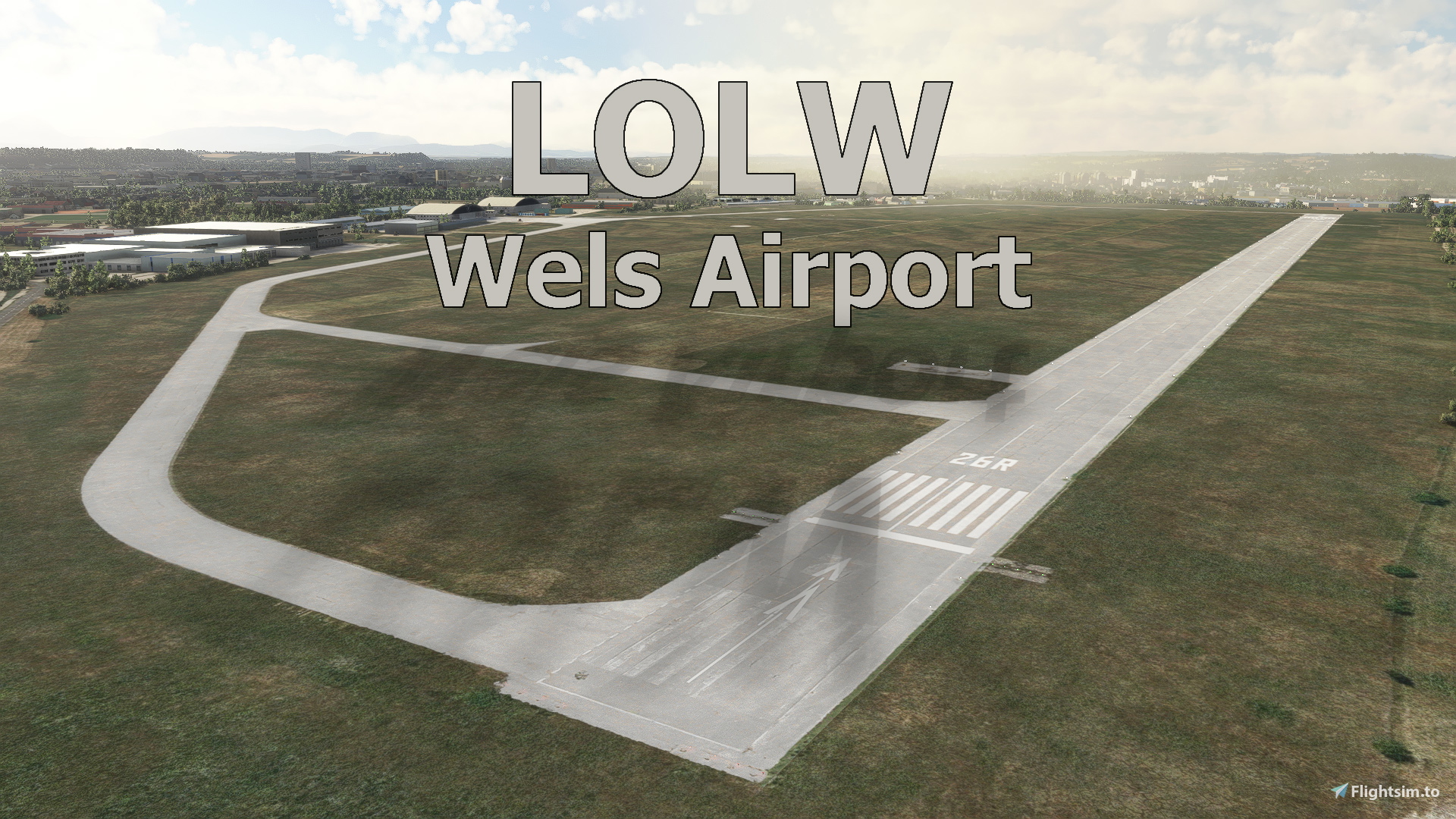
Description
Welscome to Wels!
Wels Airfield (ICAO: LOLW) is an airfield serving Wels, a city in the Austrian state of Upper Austria. It is not used for commercial scheduled services but features business and general aviation as well as private and military training flights and medical transportation. Use this airport for a short hop to LOWL Linz International airport or discovery flights to the Salzkammergut and the Alps!
This project was created in collaboration with "Troglodytus". Thank you!
Airport
Elevation: 1043 ft / 318m
Frequencies: 119.700 Tower
Runways: 08L/26R - 1390 x 30m Asphalt
08C/26C - 900 x 45m Grass
08R/26L - 930 x 50m Grass
Features
* Detailed, handcrafted rendition of LOLW Wels Airport in High Res PBR Materials
* Surrounding area redone (in total 60+ handcrafted buildings)
* Close to real life runways, taxiways, ground markings, parking spots & frequencies according to official AIP Charts
* Custom taxiway signs, apron lights, approach lights ...
* Custom aerial and ultra-high res ground textures using a machine learning algorithm
* VFR reference points implemented
* Accurate terraforming of entire airport area and surroundings with LIDAR DEM data
* Realistic night lighting
* Start your flight cold & dark from inside a detailed and animated hangar!
* Custom Wind-T showing landing directions
* Custom military vehicles
* Loads and loads of details (About 2000 individually placed objects, many of them handcrafted)
* World Update 18 compatible
* Primarily developed for MSFS 2020, but also works for MSFS 2024
How to install?
Delete old versions. Simply drag the unzipped "littlekrg-troglodytus-airport-lolw-wels" folder into your community folder! Also make sure to have “Mikea’s AssetPack” and “Mikea’s Airport Markings” installed.
Comments(49)
Log in to join the discussion
Log Inabout 2 years ago
about 2 years ago
almost 2 years ago
over 2 years ago
over 2 years ago
over 3 years ago
bonjour de France. Merci pour cette scène. OK avec S10
almost 4 years ago
Meine Homebase! Oh, wie ich darauf gewartet habe! Und läuft wunderbar! Man sieht fast, wie sich die Leute am Hofer-Parkplatz ducken, wenn man auf die 08L anfliegt ;) Danke, danke, danke, danke, danke, danke, danke, danke, danke, danke, danke, danke, danke, danke, danke, danke, danke, ...
almost 4 years ago
Gern geschehen ;-)
over 4 years ago
Vielen Dank!!
over 4 years ago
Es ist großartig. Die vielen Details. Vielen Dank!
over 4 years ago
Danke
over 4 years ago
Großartige Arbeit! Vielen herzlichen Dank an Dich und an Troglodytus!
LOLW Wels / Austria
Discover the charming Wels Airfield in Austria with this detailed add-on, offering a handcrafted rendition of the airport and surrounding area. Experience realistic runways, taxiways, ground markings, and custom textures for an immersive flying experience. From custom lighting to VFR reference points, explore this airport for short hops or scenic flights to nearby landmarks!

Supporters
User Reviews
17 reviews
Location
More Information
Version History
Changes V1.2.0: * Primarily developed for MSFS 2020, but also works for MSFS 2024 * MSFS2024 compatible * some little updates
Related
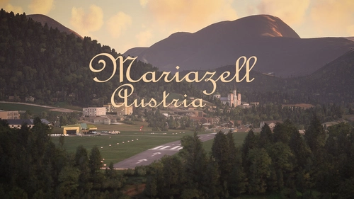
LOGM Mariazell/Austria
Fly into tranquility and tradition at Mariazell [LOGM], a private airfield near the historic town of Mariazell, Austria. This add-on offers a challenging base for local sightseeing and flights to neighboring cities, featuring handcrafted models and realistic airport details. Created in collaboration with Troglodytus, immerse yourself in the beauty of Mariazell with this Microsoft Flight Simulator enhancement.
by Littlekrg, Troglodytus
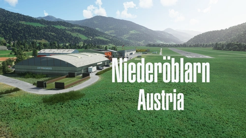
LOGO Niederöblarn/Austria
Explore the private use airport of Niederöblarn in Styria, Austria, perfect for flights to Salzburg, Graz, and the Alps. This detailed add-on features handcrafted buildings, custom runways, aprons, and accurate ground markings, along with basic night lighting and correct parking spots. Immerse yourself in this realistic airport scenery created in collaboration with Troglodytus.
by Littlekrg, Troglodytus
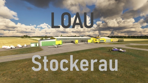
LOAU Stockerau / Austria
Experience the charming regional Austrian airport of LOAU Stockerau in Microsoft Flight Simulator. This add-on features detailed scenery and lifelike objects from the libraries of Dave and Mikea.at, creating a vibrant aviation environment. Dont forget to install the required object libraries for the full experience.
by Littlekrg, Troglodytus
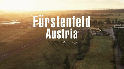
LOGF Fürstenfeld/Austria
Discover the charm of <strong>Fürstenfeld Airport</strong> in Austria with this add-on. Enjoy handcrafted airport facilities, realistic night lighting, and accurate elevation data. Immerse yourself in the scenic surroundings of Styrian Vineyards and neighboring industries. Simply drag and install to enhance your Microsoft Flight Simulator experience.
by Littlekrg, Troglodytus
over 1 year ago
Thanks for all your work!