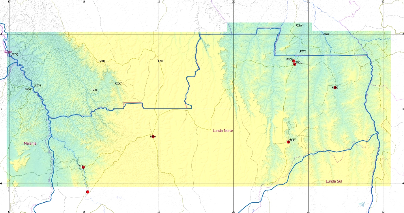


ASF ETM12m Angola - Enhanced Terrain Mesh 12m for Angola vol. 03 – Lunda Norte - version 1.00
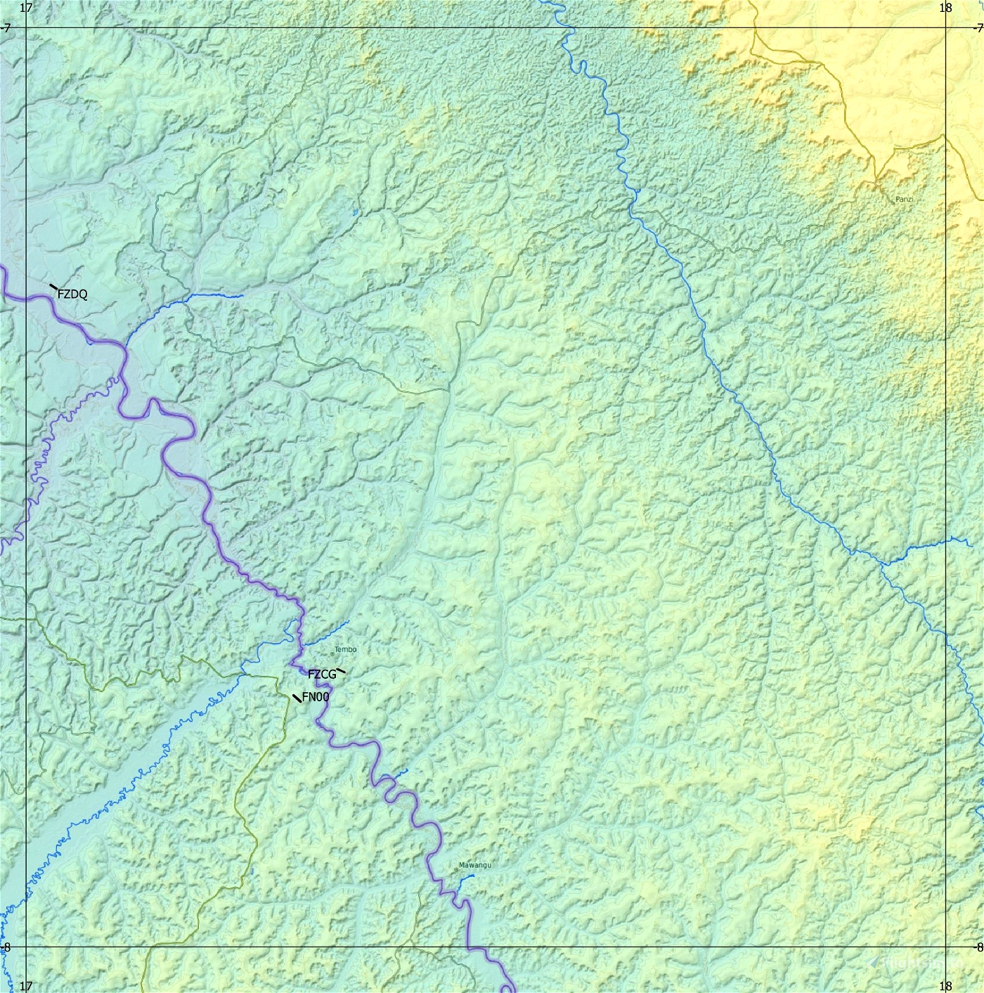
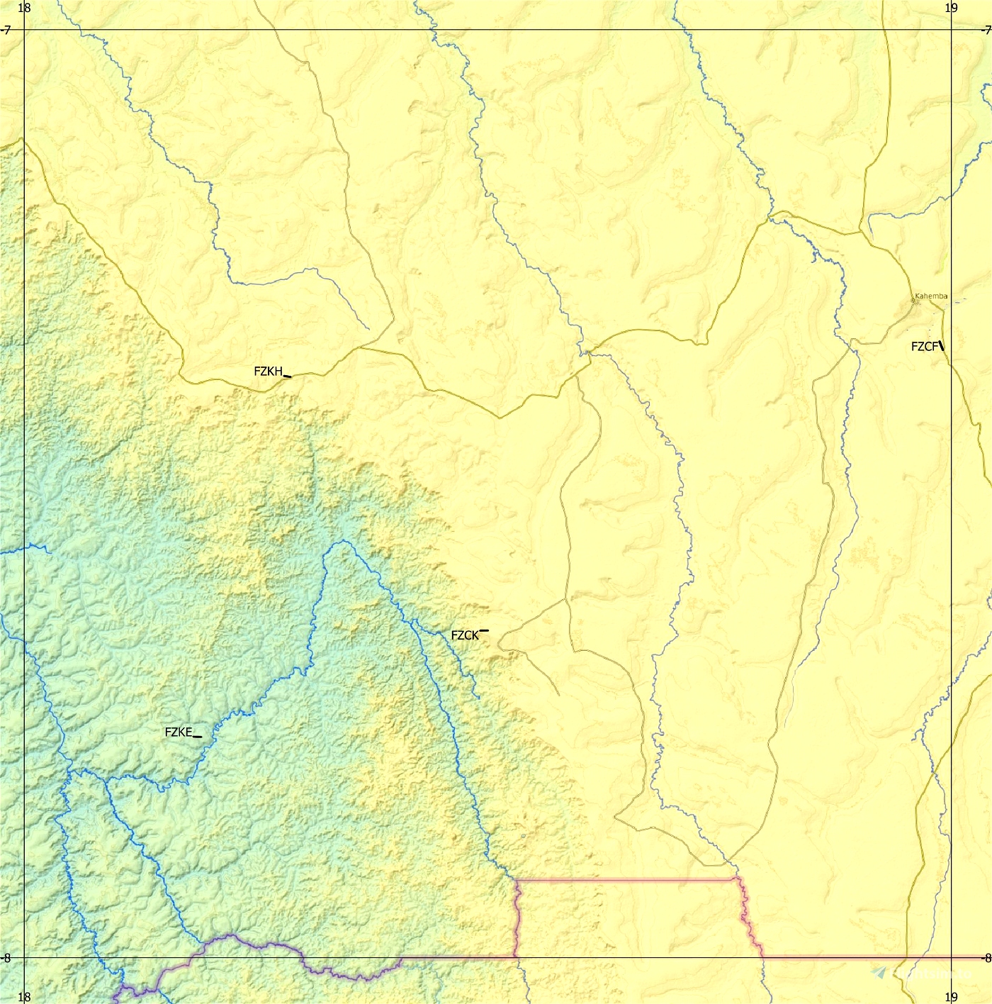
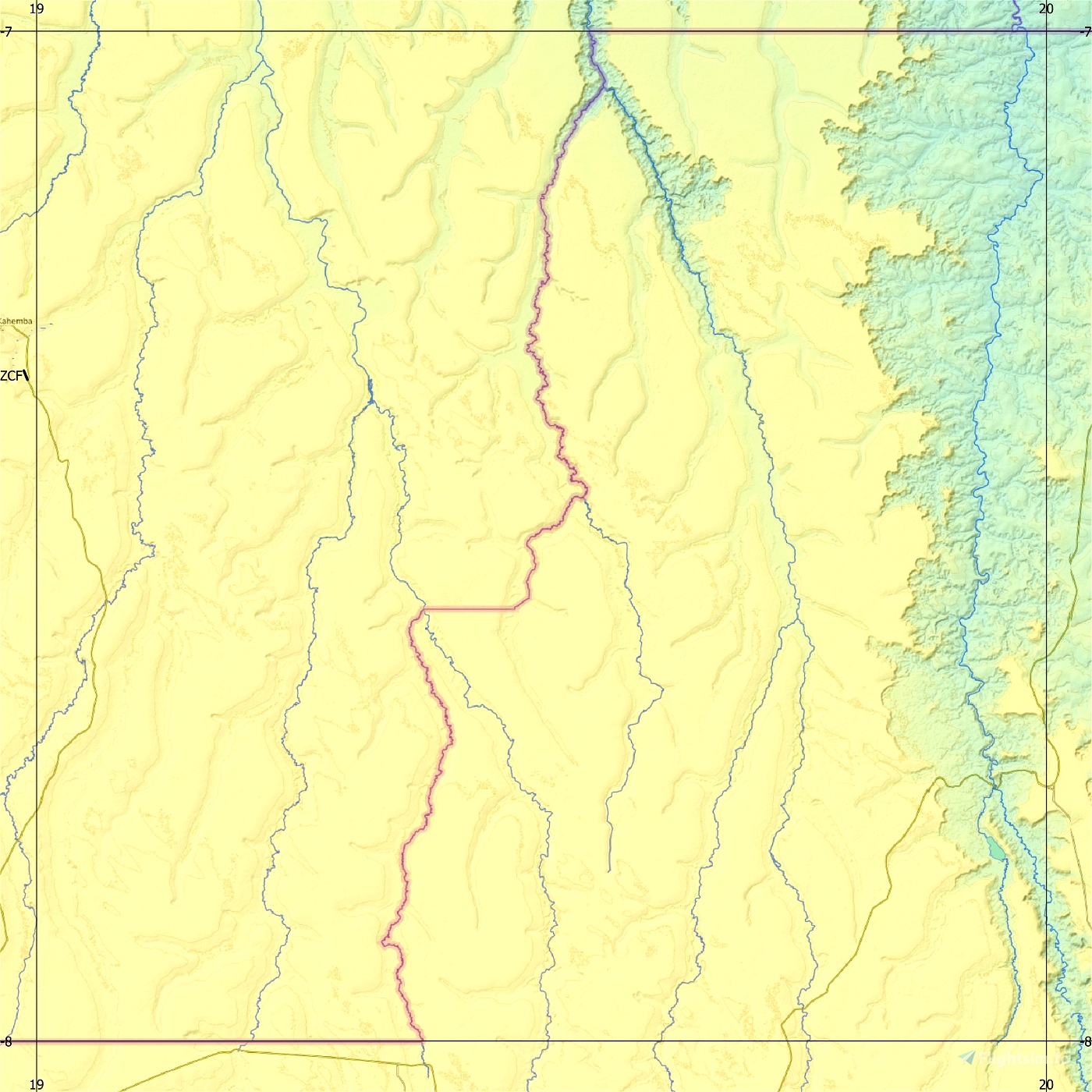
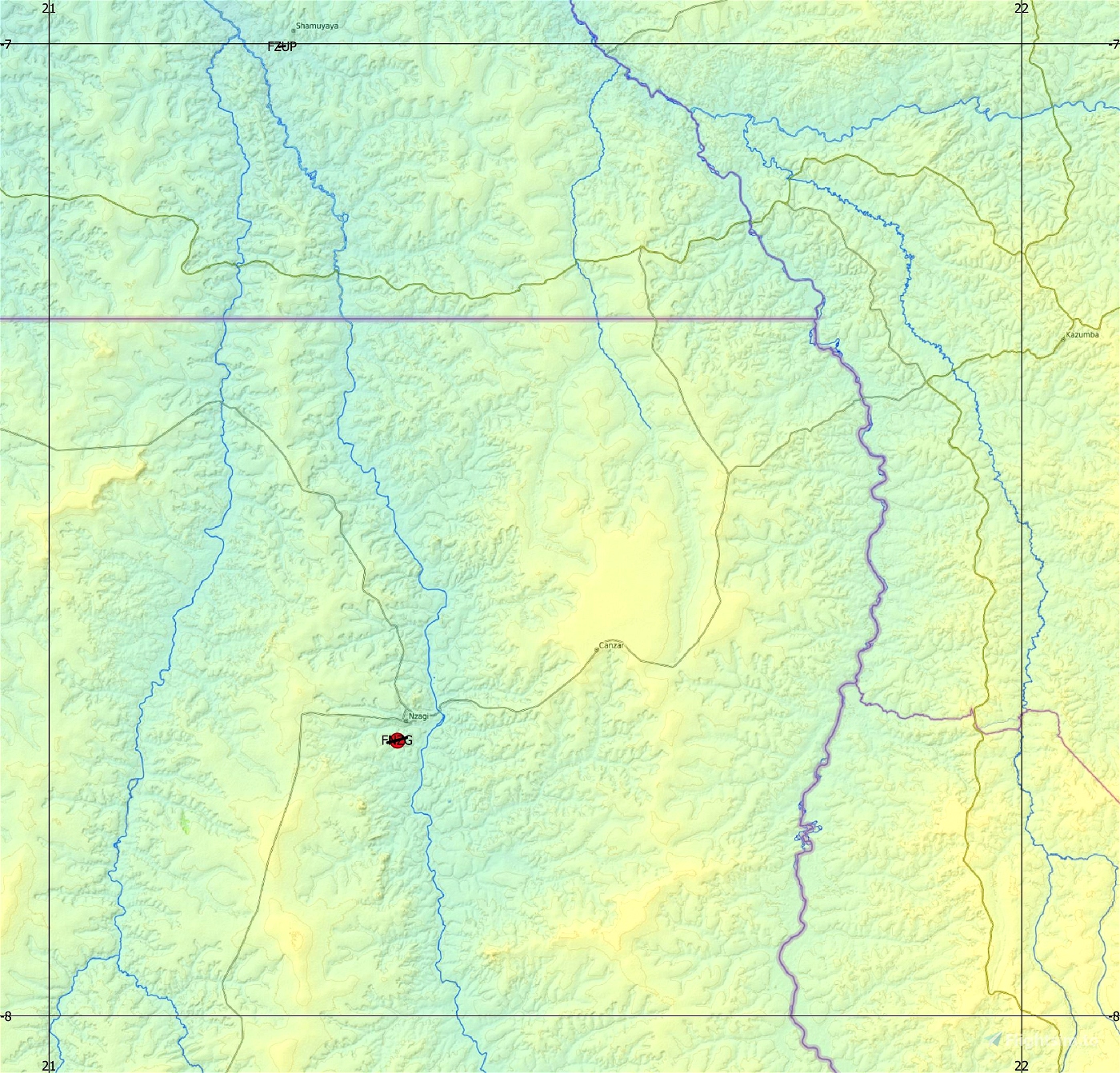
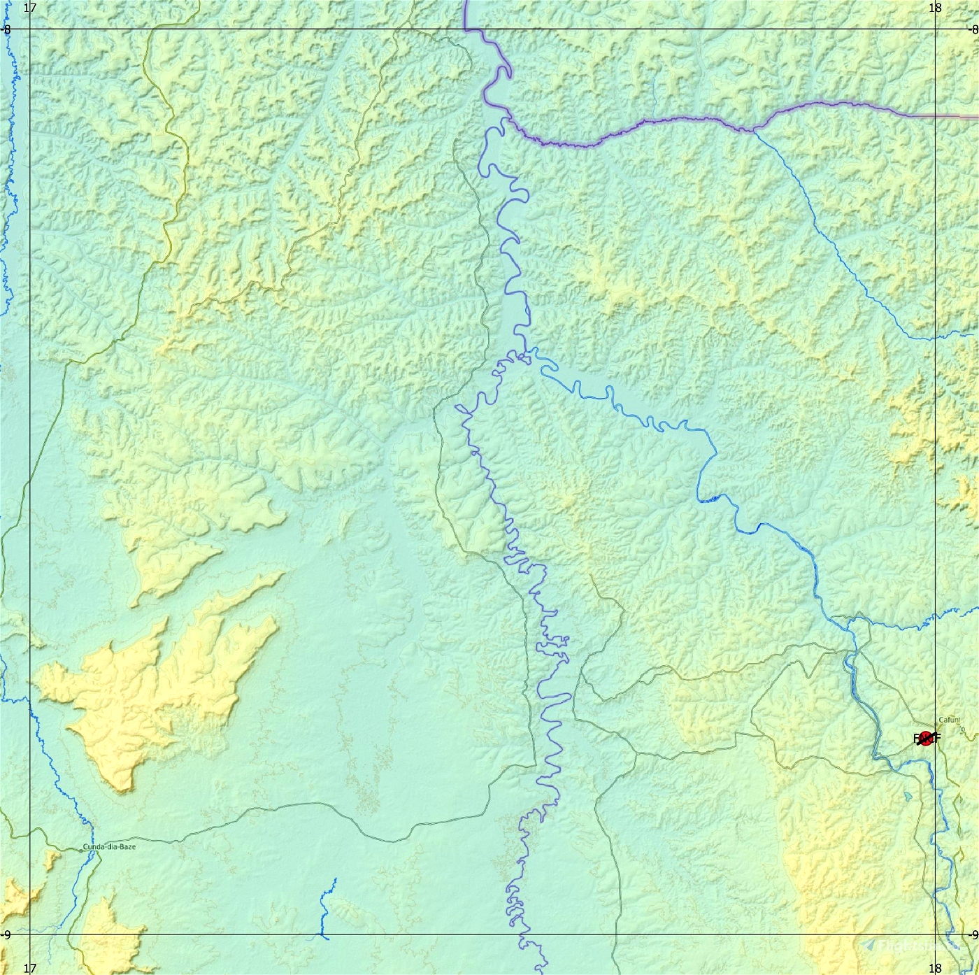
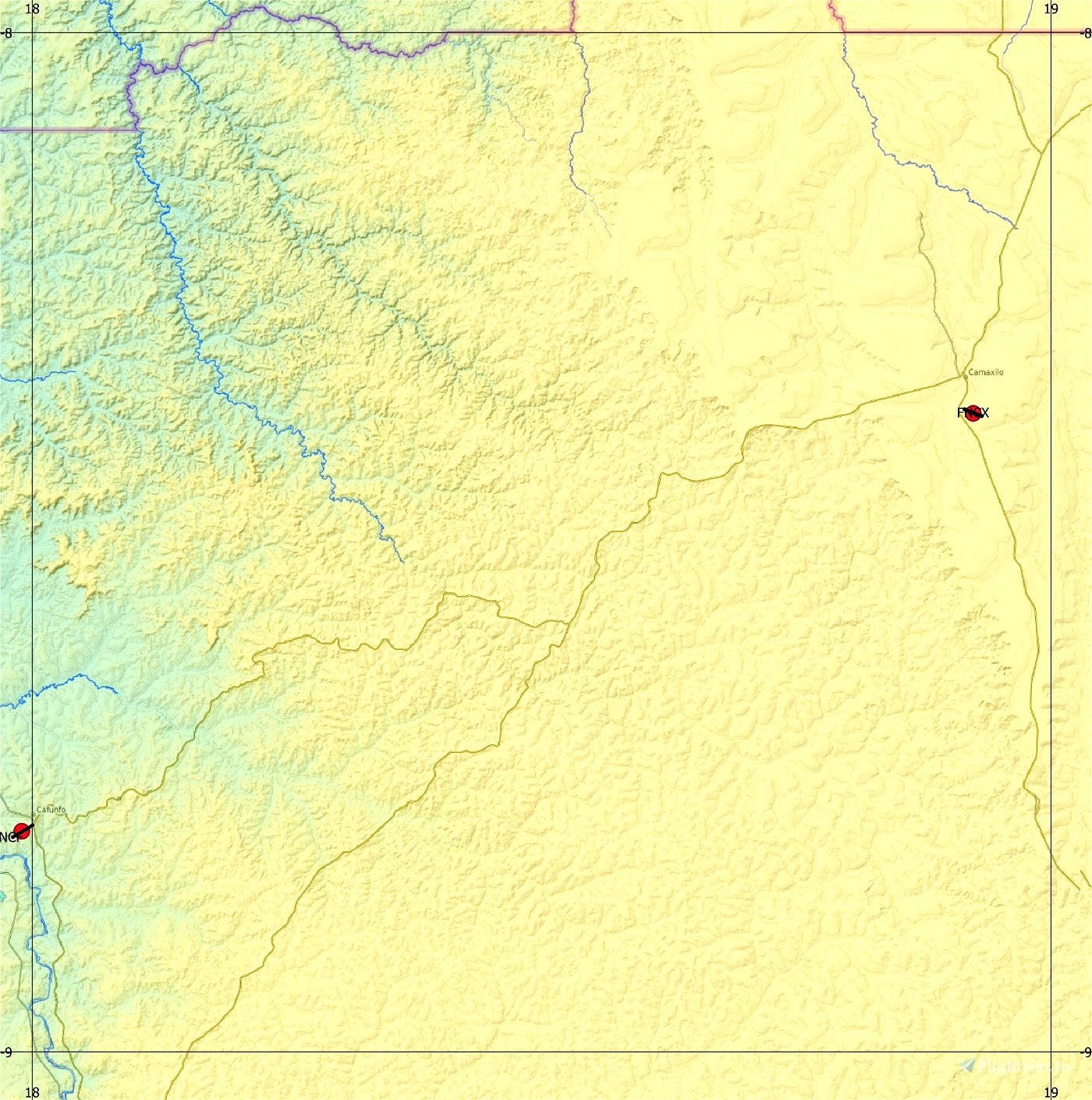
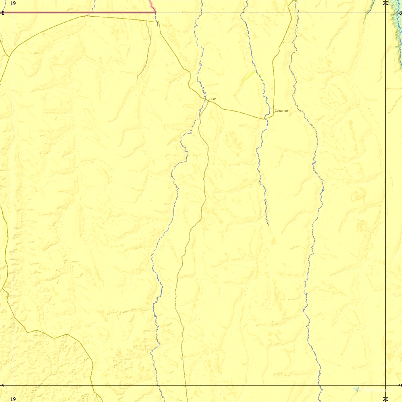
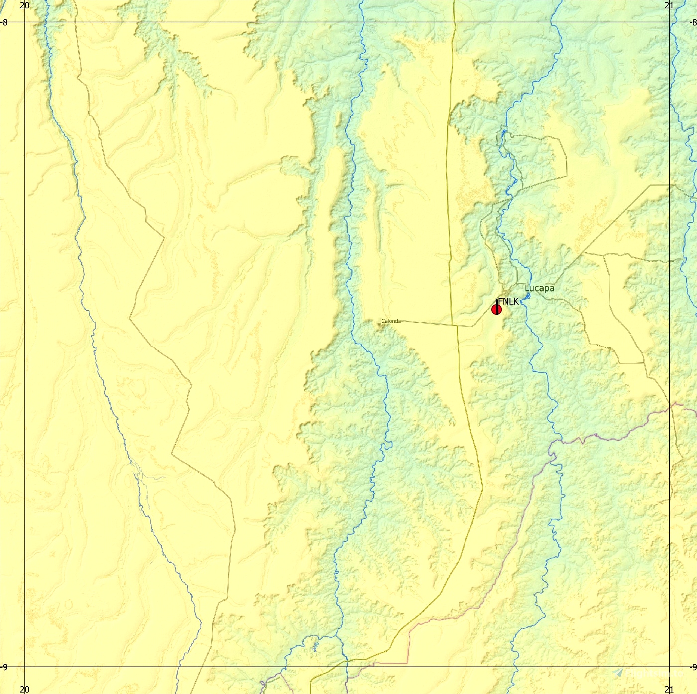
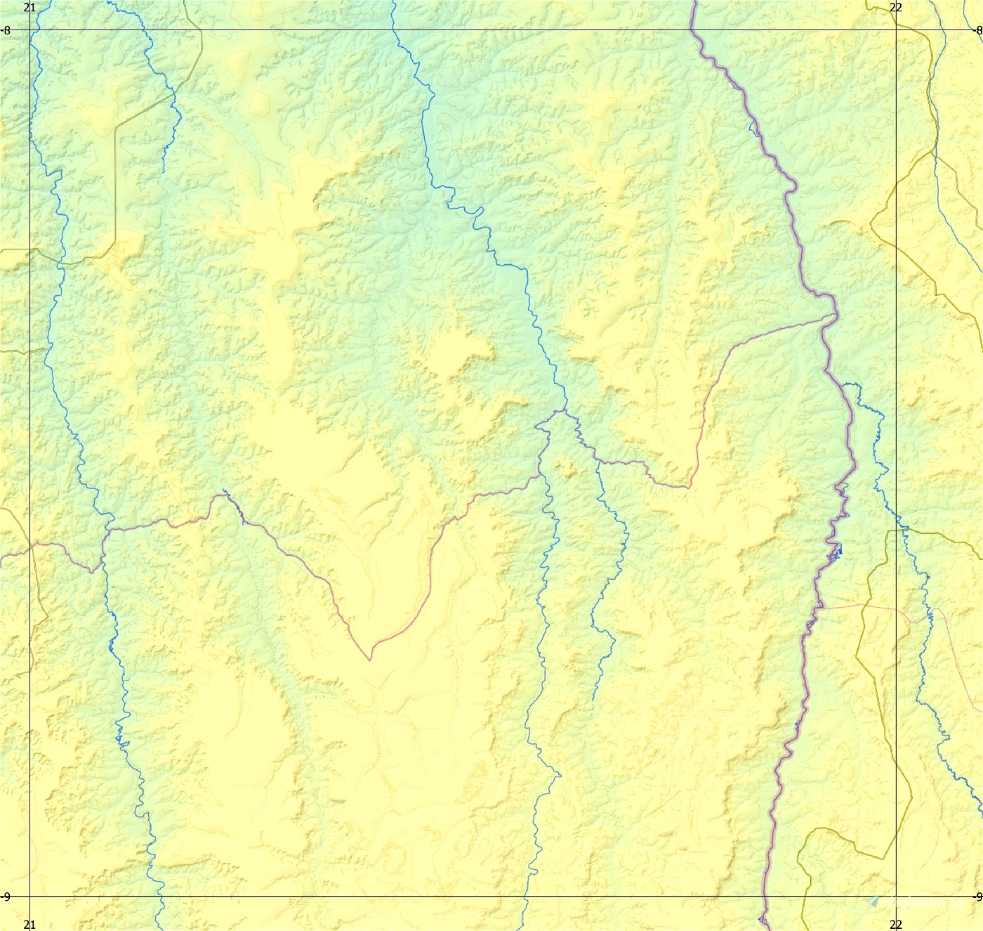
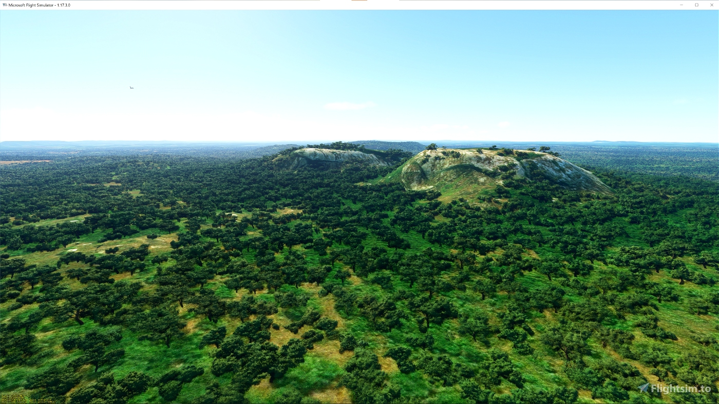
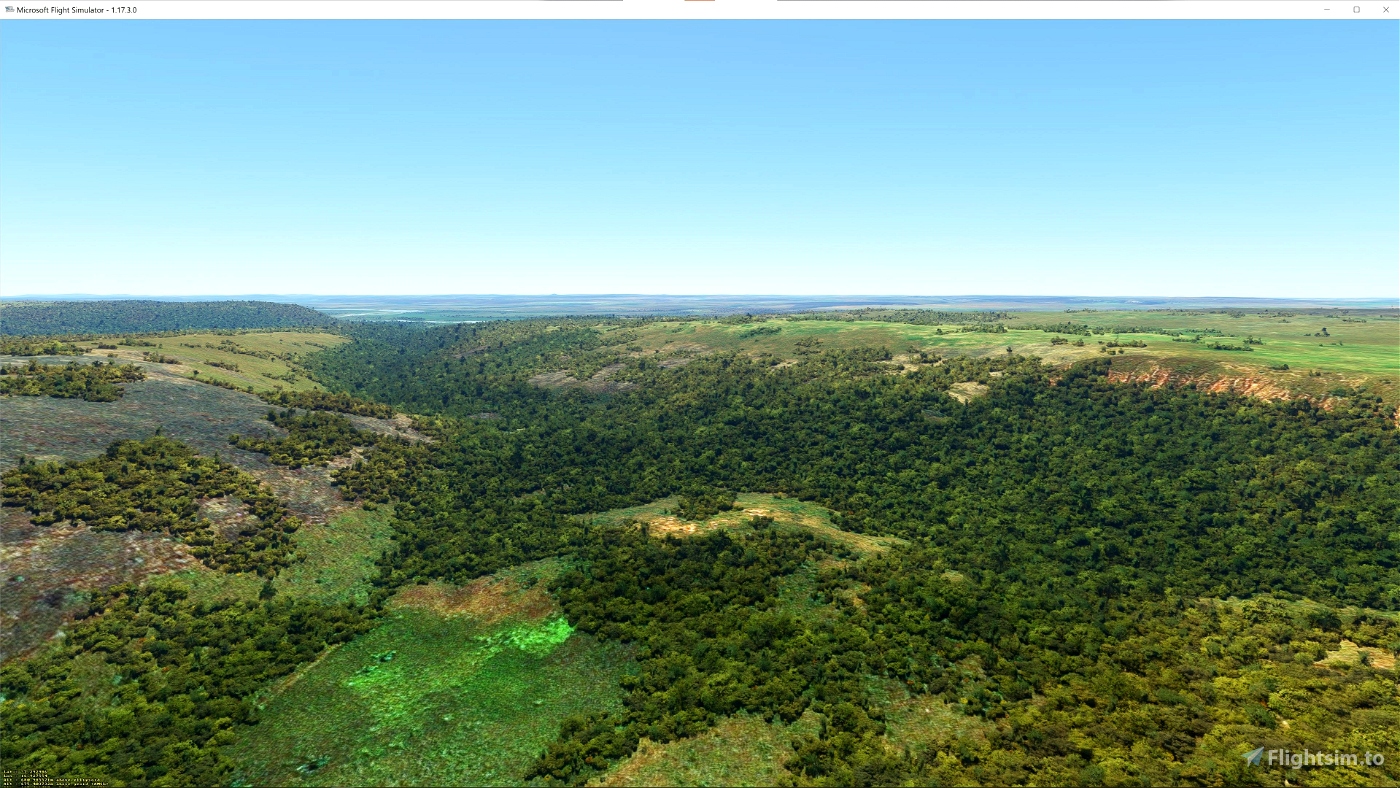
This is an Enhanced Terrain Mesh ALOS PALSAR RTC 0,41 arc sec (12,50 meters). Mainly the area covered by this terrain mesh is related to the region of ... (See coverage map).
This project is part of a larger work. Install each volume separately.
There are some recommended files for this add-on. See here "Dependencies"
Visit Angola North, part two by Frontech
The trip starts in Camaxilo Airport, where the first part has ended. You fly cross the country to reach the border with Congo (DRC). From there you go west to Quirima Arport where this trip ends after 891 nm. This trip flies mostly over the central north of Angola. It has more mountainous area's.
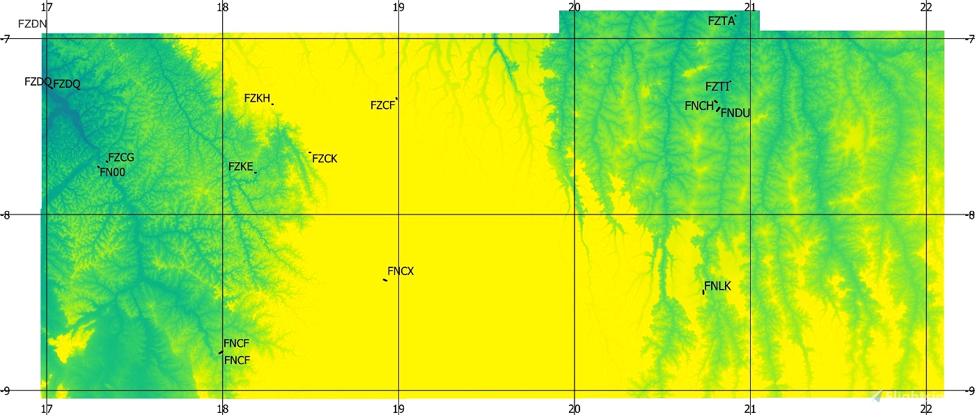
Affected Sceneries
Any large Payware and Freeware Airport I could think of, has been excluded from the mesh. So hopefully the glitches will be minimal. The coastline should be completely redesigned .... it could be the subject of a separate project.
Please report any bugs with sceneries or airports and I will see what I can do!
ACKNOWLEDGEMENT
Alaska Satellite Facility
Dataset ALOS PALSAR_Global Radar Imagery (2006-2011) Radiometric Terrain Corrected (RTC) DEM 12.5mt
Created using MSFS Toolkit by Nool Aerosystems (MSFS Toolkit)
Thank you both and for anyone reading this: Please go ahead and support them!
Enjoy your VFR flights above the Angola!
On Discord: Gjanosh61

 Gjanosh61


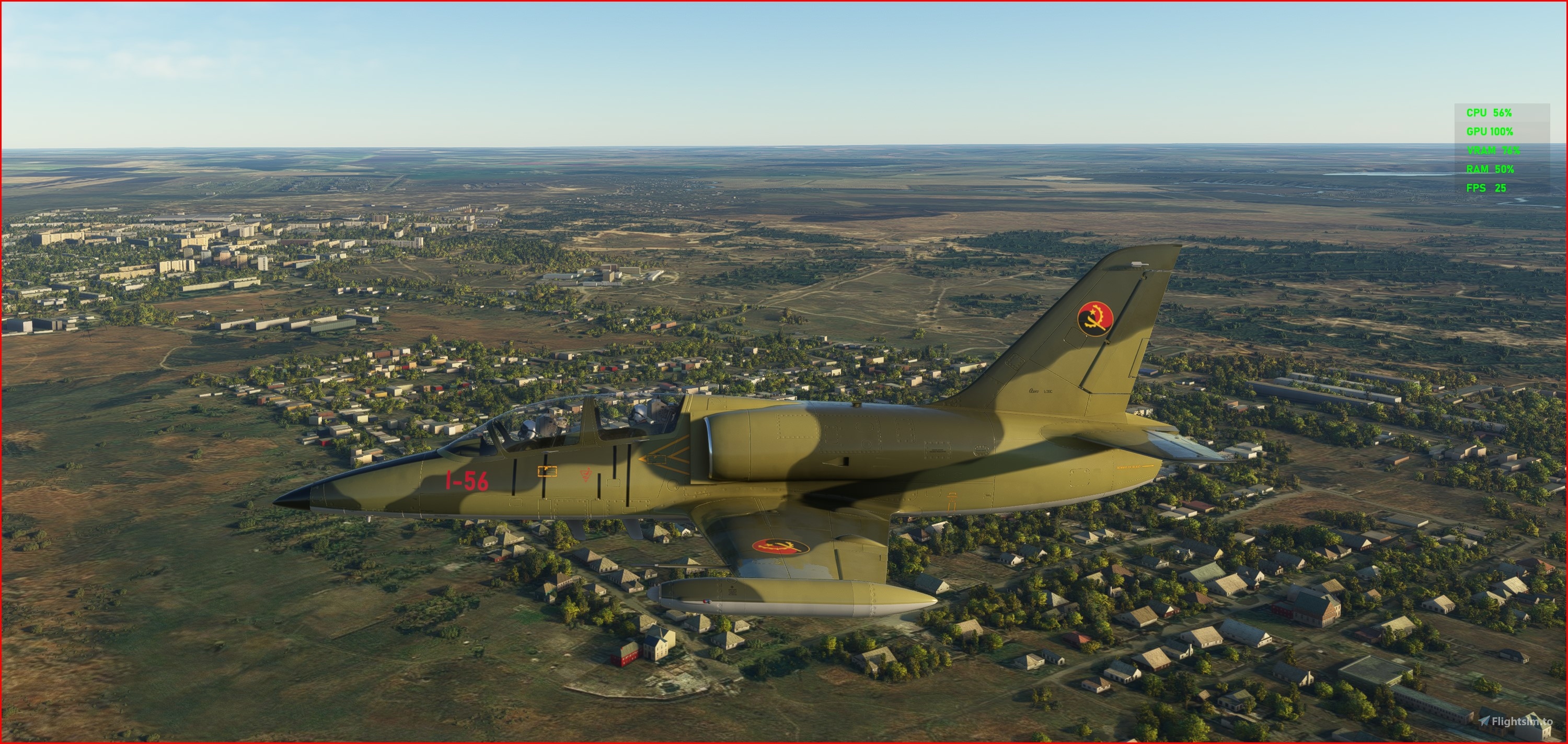

https://it.flightsim.to/file/59808/asobo-l-39c-angola-air-force-ca-2015
8 months ago
Gjanosh61
What a nice surprise to see this type of files for Angola. Thank you so much.
11 months ago
TheAfricanFlyer