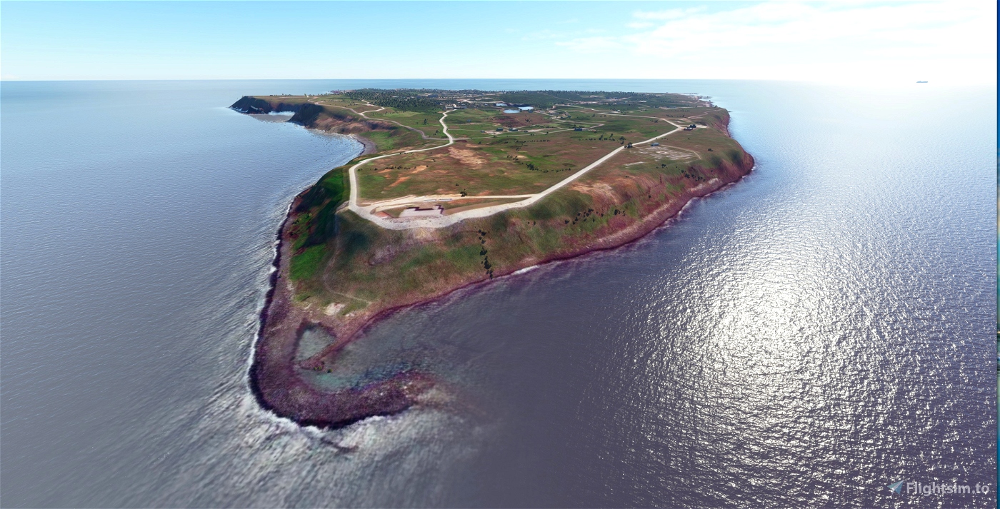
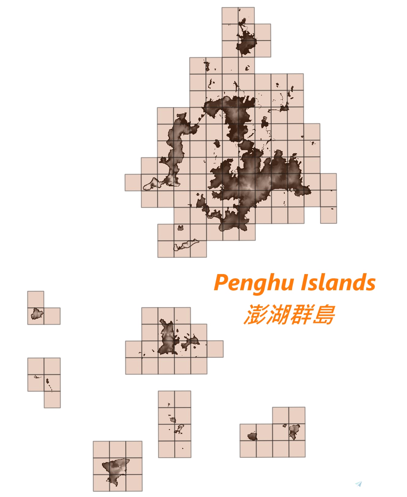

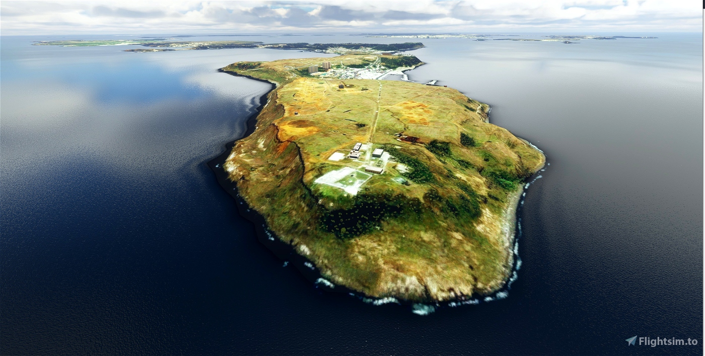
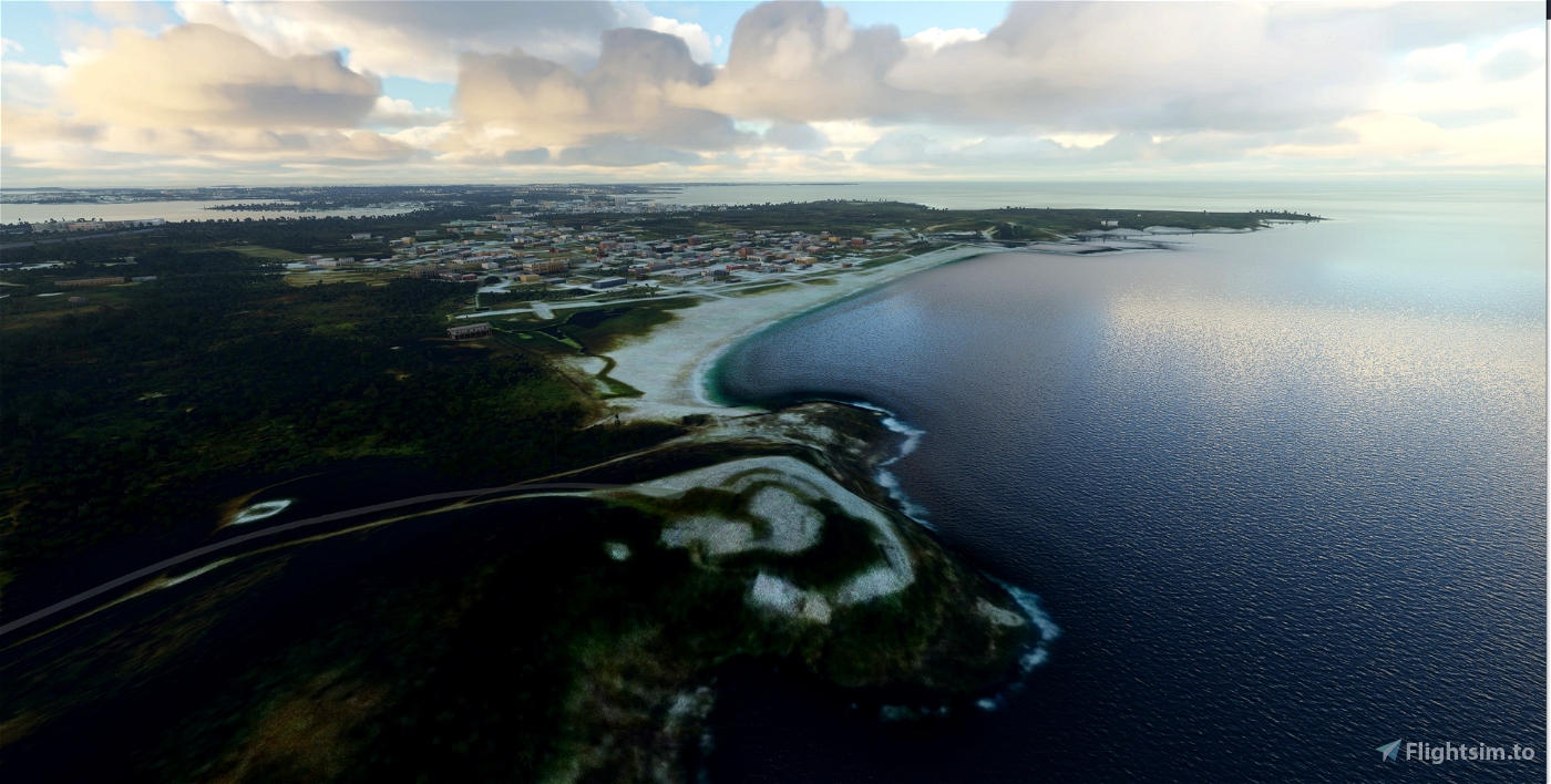

This is a DEM (Digital Elevation Model) work for Penghu Islands, Taiwan. The data source is from a 20m DEM data sampled at 10m spatial distance. The DEM data is created based on heightmap method from SDK system, so far MSFS still has bug for large heightmap files. It has some chance to crash your game. Please use it at your own risk.
In order to enjoy the island flight, please also refer my other project: "S.Penghu and Liuqiu Islands Aerial, Taiwan".
Note, some airport's terrain may be distorted due to nature of the data source. Future updates are planned to terraform those airports belongs to Taiwan. Please also download "S.Penghu and Liuqiu Islands Aerial, Taiwan" to have further secenery enhancement.
Installation: drag and drop the “kcai-PengHu-DEM” folder in your Community folder.
(I have to honor the Nool Aerosystems which is created by Paavo, who made this project possible. His brilliant program made the terrain design easier and faster and deserve your applause.)

 kcai
kcai 


Very nice, thank you
3 years ago
robvancutsem