Barakoma Airfield
- ICAO: AGBA (used by the current regional airport)
- Elevation AMSL: sea level
- Runway (14/32): 1097 m / 3600 ft x 46 m / 150 ft
- Coordinates: 7° 54' 35.7" S, 156° 42' 15.9" E
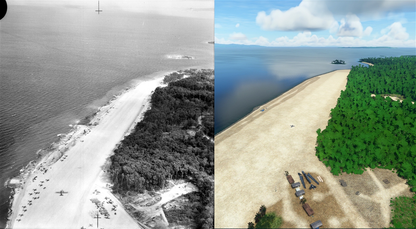
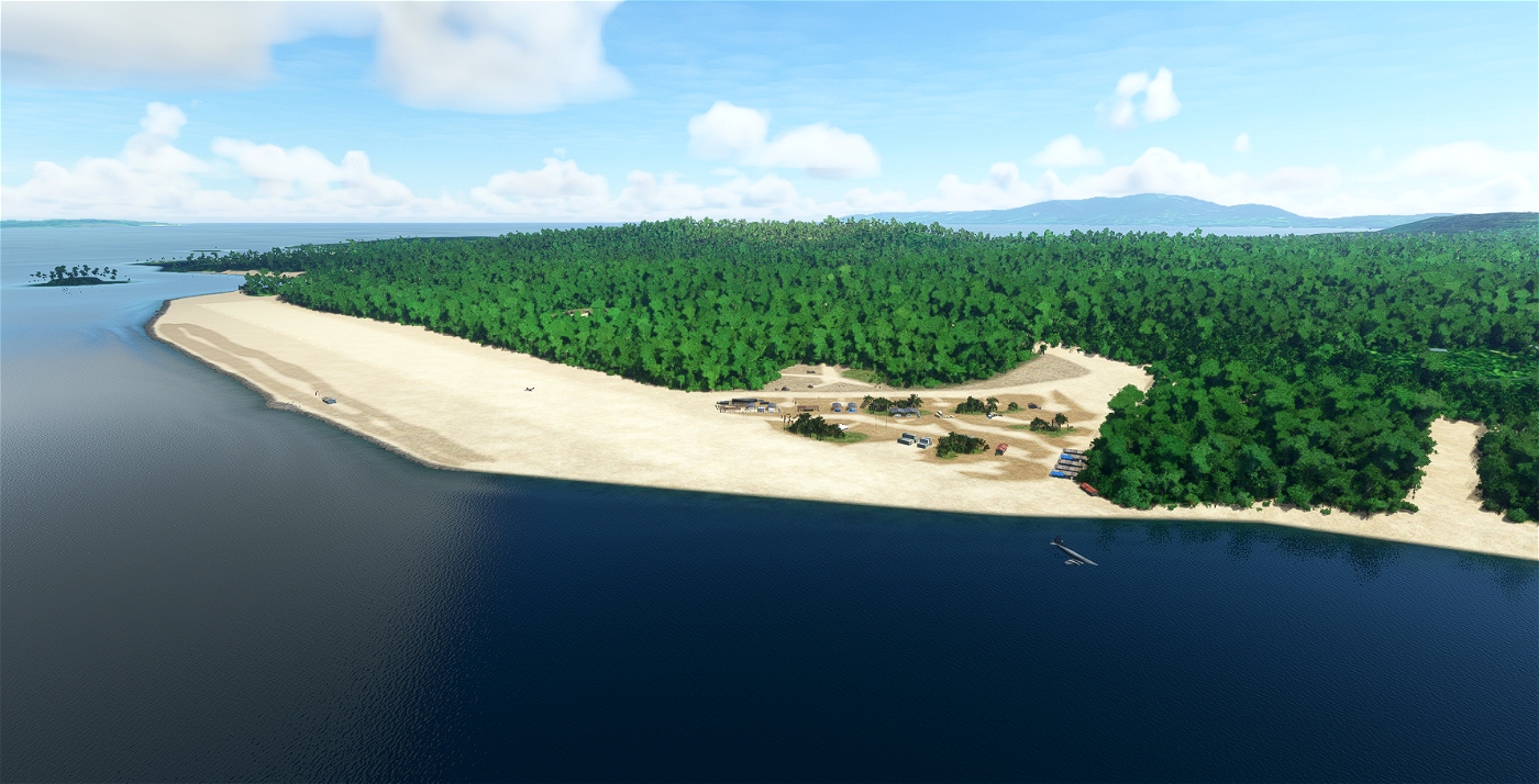
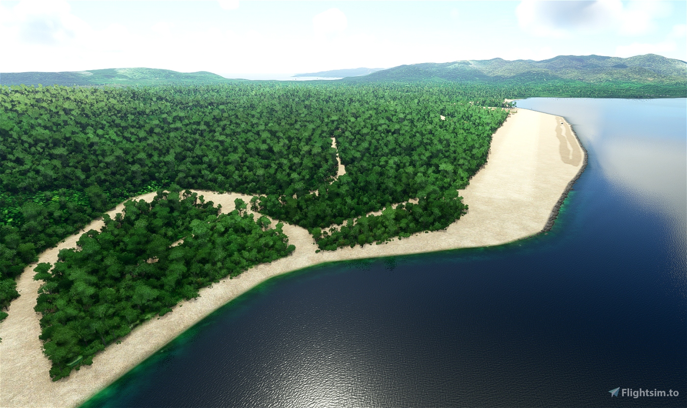
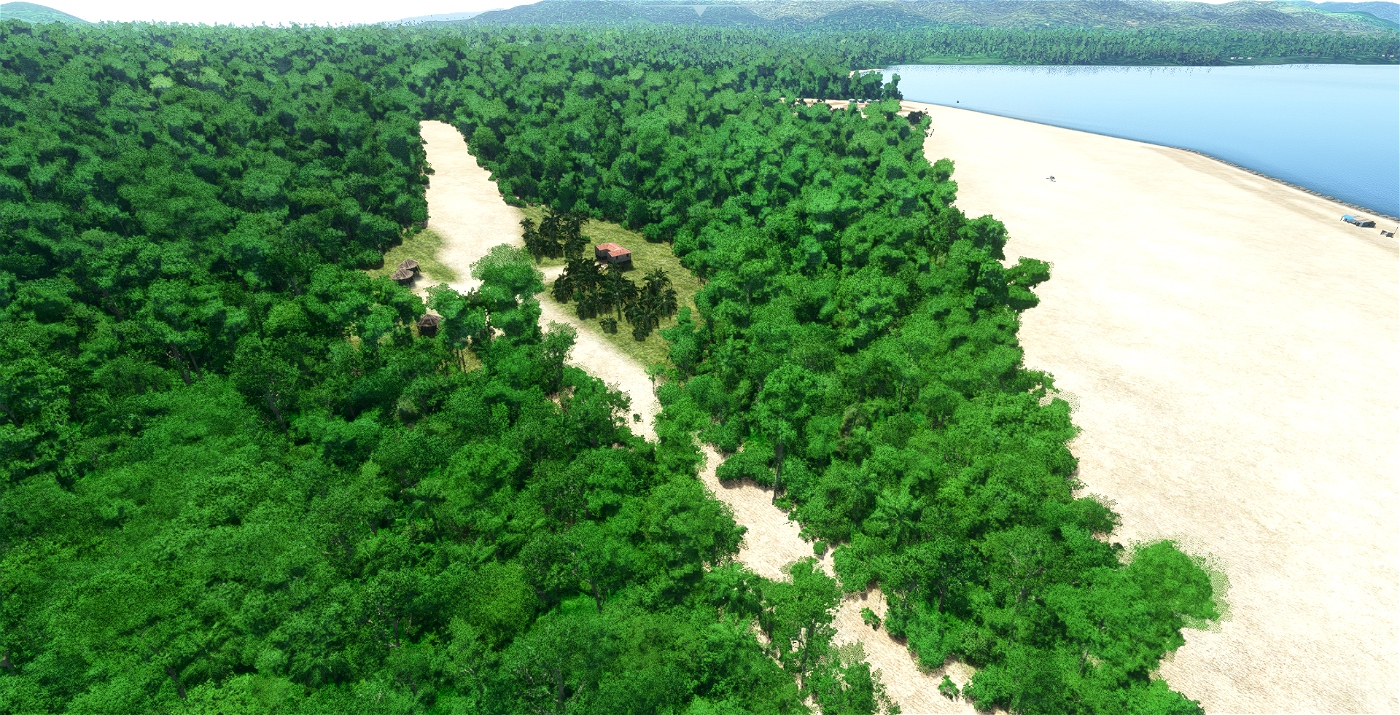
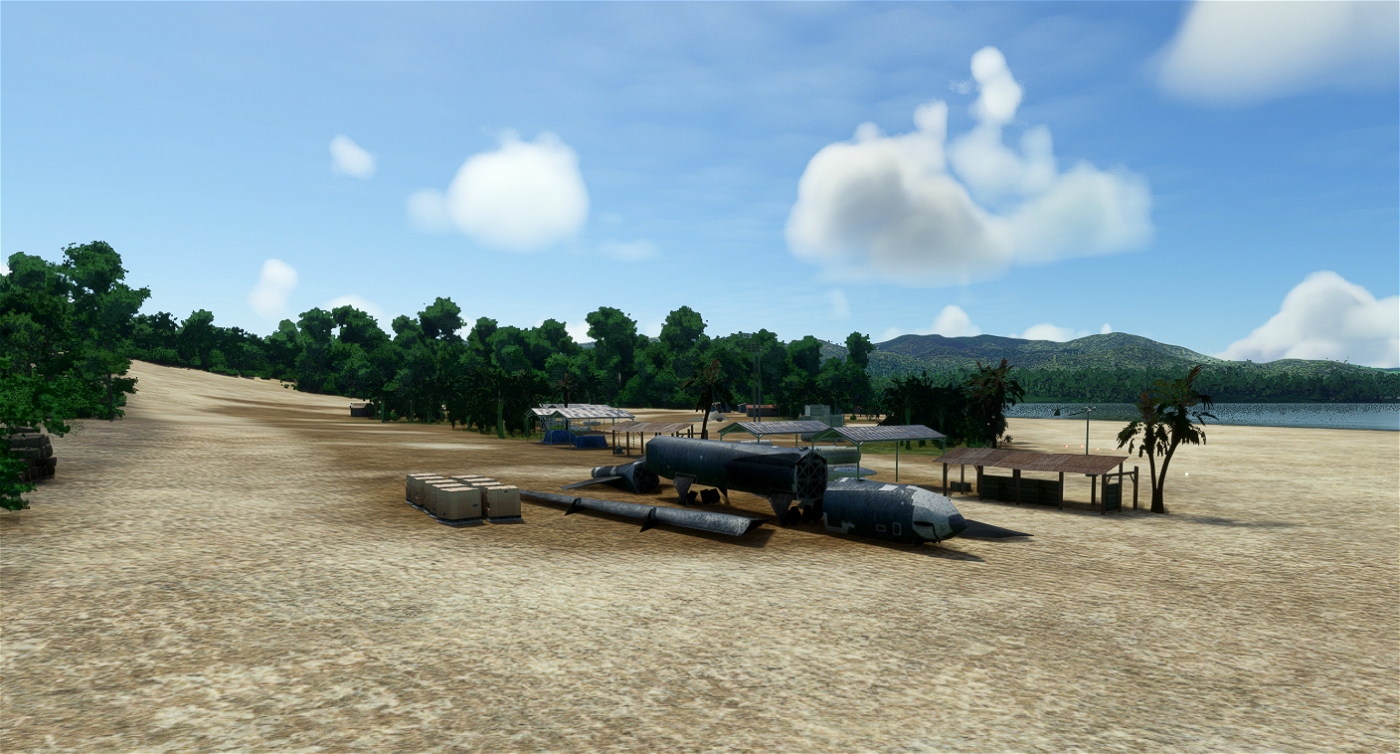
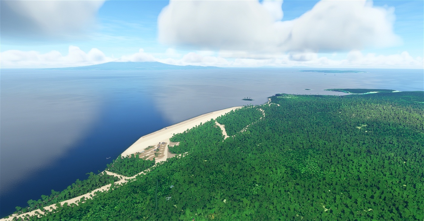
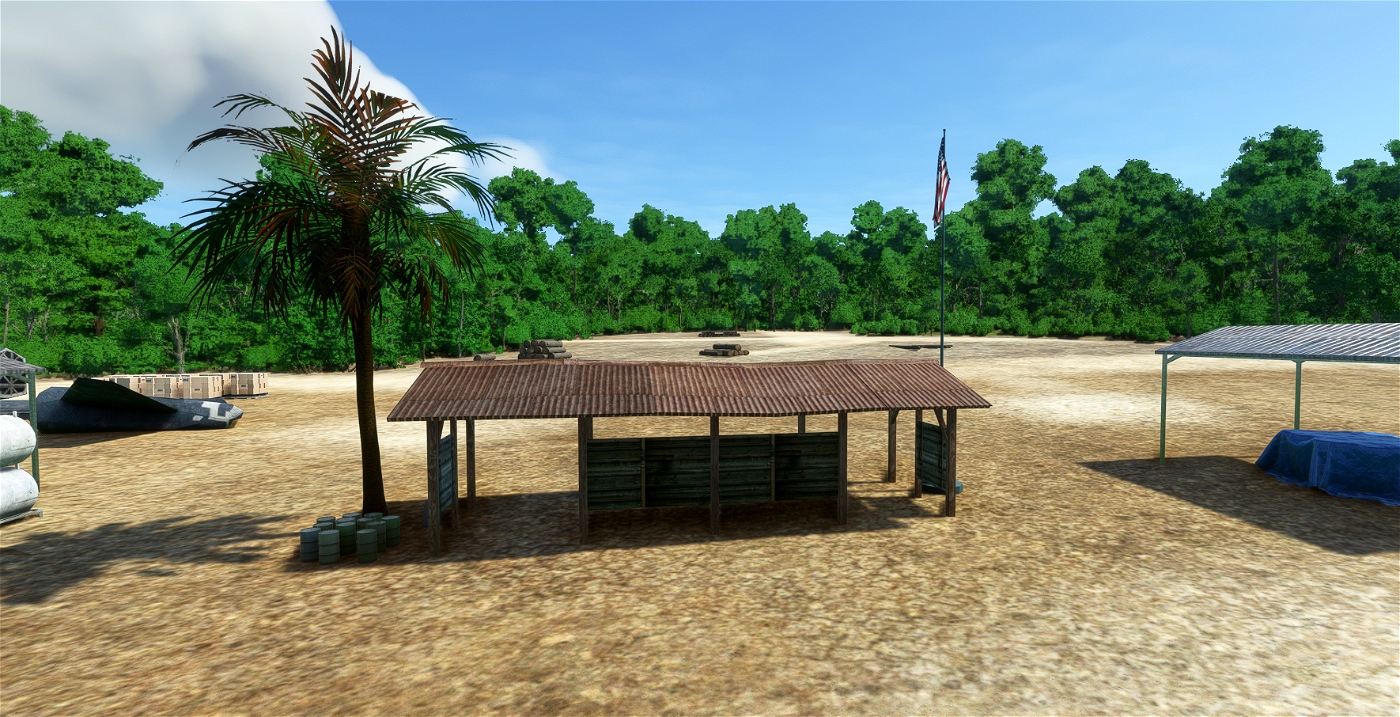
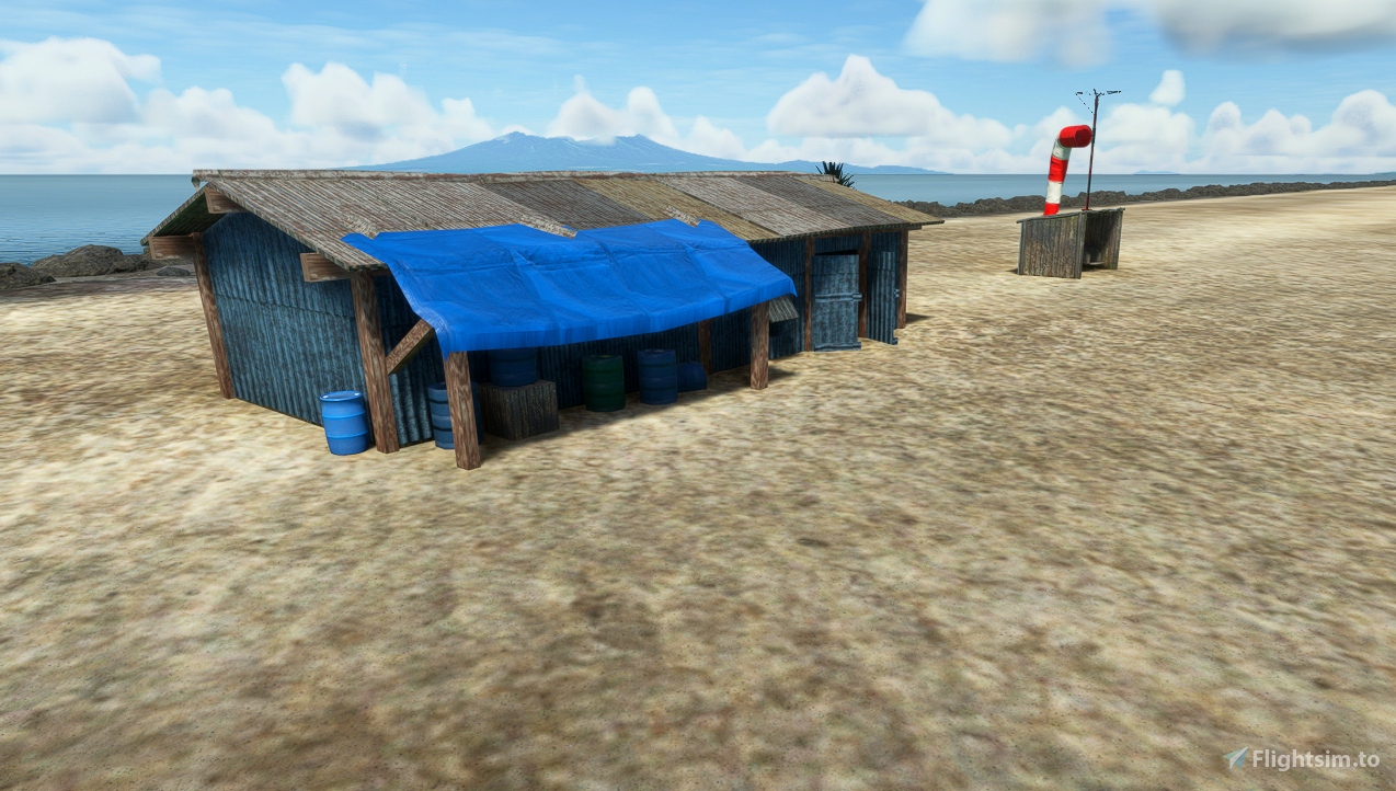
Barakoma Airfield is located on the southeast corner of Vella Lavella Island, bordering Barakoma Bay to the east and to the south was Sanaparo and further to the southeast is Barakoma. Also known as simply "Fighter Strip". When built, this was the most forward Allied airfield to Rabaul which was 349 miles away.
Construction
On August 15, 1943 American forces landed at Barakoma and immediately U. S. Navy (USN) 58th Naval Construction Battalion (NCB) "Seabees" began clearing a swampy area of jungle for development into a fighter strip parallel to the southeast coast of Vella Lavella Island.
Between August 19-28, 1943 Japanese aircraft attacked Allied forces in the Barakoma area losing a considerable number of aircraft and Allied fighters and anti-aircraft claimed about 50 attackers. None of the raids did considerable damage. The last recorded Japanese raid was January 16, 1944 when four bombs were dropped three miles wide of the airfield. At night, harassment raids by Japanese interfered with, but did not stop the construction.
By October 25, 1943 the single runway measured 3,600 x 150' and was oriented 322° x 142° with taxiways and revetments along the inland southwest edge of the runway. Also a road was constructed from the airfield northward passing Gill's Plantation up to Lambu Lambu Cove and Horoniu.
Wartime History
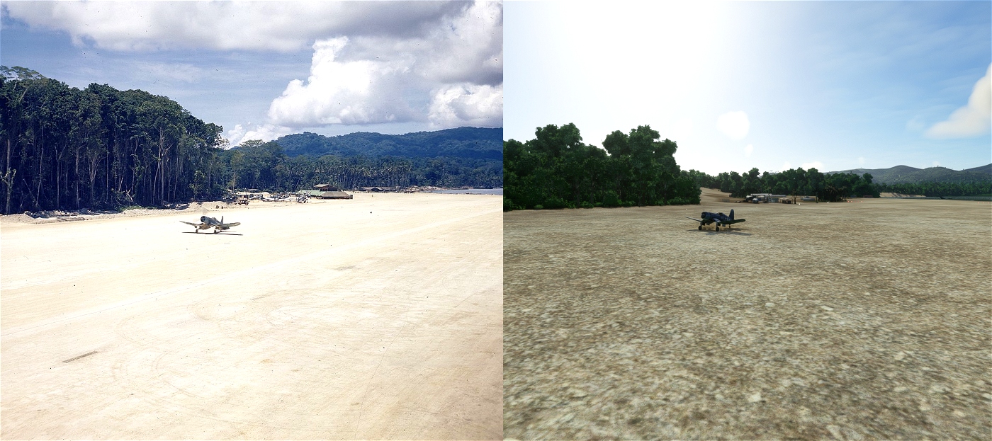
On September 24, 1943 the first offical landing on the newly built runway was by VMF-214 "Black Sheep" F4U Corsairs piloted by Major Gregory "Pappy" Boyington and Mo Fisher. Many Marine F4U aces flew from Barakoma during its height.
During late 1943 until early 1944, Barakoma Airfield was used by U. S. Marine Corps (USMC) fighter aircraft and bombers. Afterwards, squadrons moved northward to Bougainville and Nissan Airfield (Green Island).
American units based at Barakoma Airfield
VMF-221 (F4U)
VMF-212 (F4U) Munda October 20, 1943 - November 27, 1943 Torokina
VMF-214 "Black Sheep" (F4U)
VMF-215 (F4U) ? - ? Torokina
VMF-321 "Hell's Angels" ? December 24, 1943 - ? Piva South (Piva Uncle)
VMF(N)-531 (PV-1 Ventura) ? - April 1944 Nissan
VF-40 (F6F)
(Source: pacificwrecks.com)
Update:
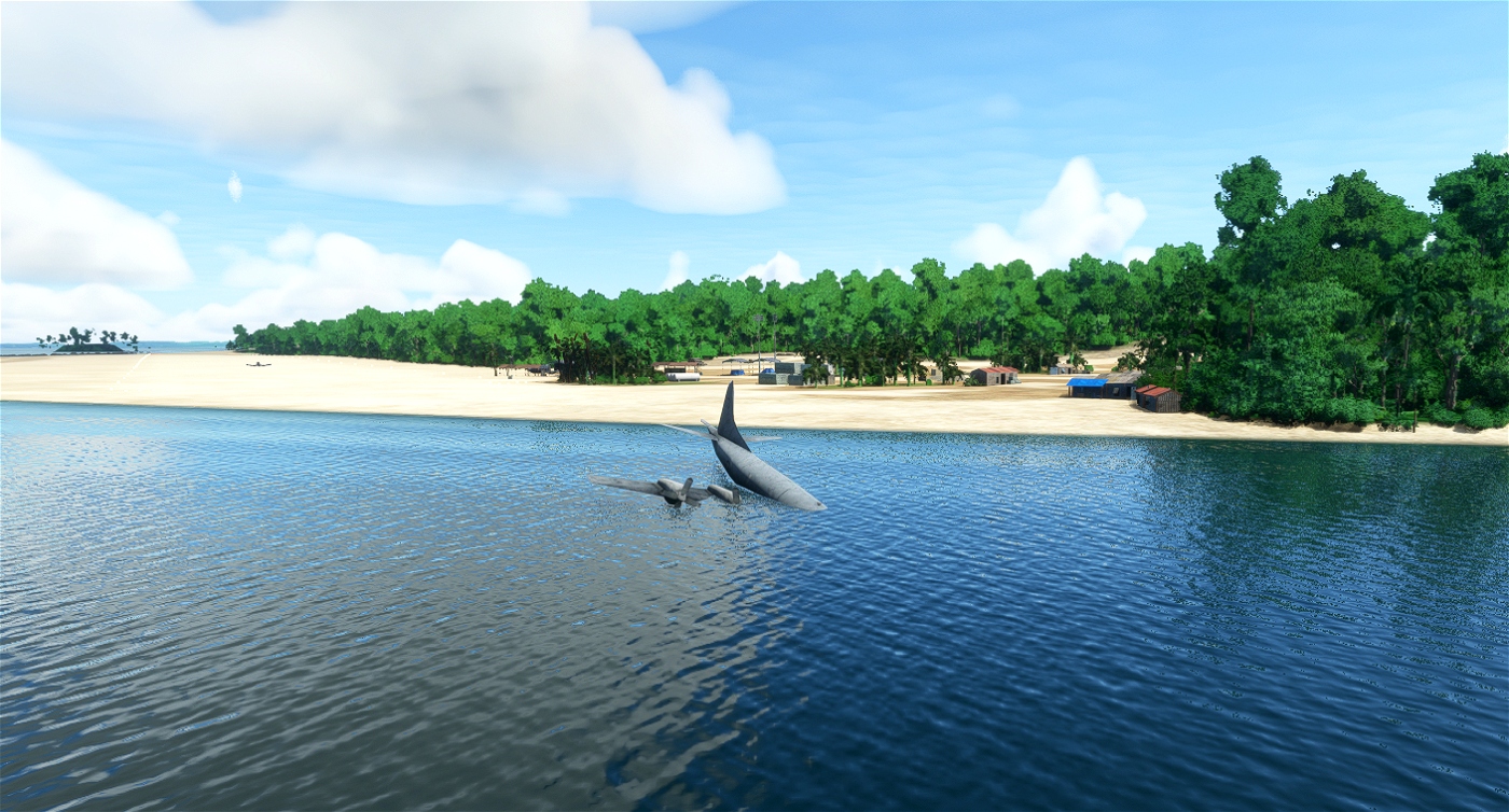
Added a version without the "slightly out of time" wreckage in the water. Just choose the "without plane wreck in the water" version when downloading.
Installation:
Extract and copy the "agba-barakoma_airfield" folder to your "Community" folder.
If you're having trouble finding your "Community" folder, try this link:
https://flightsim.to/help/general/locating-the-community-folder-of-my-game
Known issues:
There is a very small part of an AI generated road at one end of the scenery. You won't see the road, but since the SDK doesn't allow removing AI generated traffic yet, it is probable, that civilian vehicles will enter restricted areas.


like the scenery - but every time I use with the milviz corsair it starts with a bent prop which can't be repaired!
anyone any ideas on how to fiz this?
3 years ago
mac2
That looks like a B-52 on the ground.
3 years ago
DC6Pilot
I do not suppose there are any static Corsairs and the like that could be added, or would that be a "gotta build it in blender" thing?
3 years ago
3 years ago
Squidfall
BelGeode
I hope that over time you'll add more Solomon Islands WWII bases/airfields.
Is it possible to remove that crashed P-3 Orion in the water?
3 years ago
3 years ago
Squidfall
MooseFlyer
3 years ago
3 years ago
Squidfall
papylolo34