
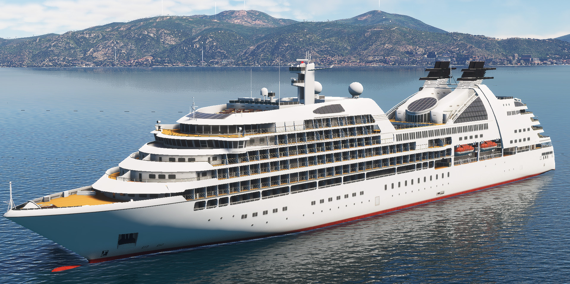
Description
Ajaccio, Corsica, France (38 cm res.). Ajaccio center is on HD (19 cm res.).
You can extend this scene using Ajaccio North & South, Corsica, France (Extended)
When the part is downloaded , simply extract into community folder.
Zip file including :
adrianl-ajaccio: photogrammetry & terraforming data.
Addon size : 3.74 Go
Better with "Vessels : Core library" by Seafront Simulations.
Credits :
-Thanks to Thalixte for the GETOD tools.
-Thanks to Elie Michel for sharing Lily texture Packer.
-Thanks to Jonahex111 for graciously sharing Earth2MsfsWPF and Thalixte to keep it up to date.
-Thanks to all other software and add-on creators who shared their tools to archieve this work.
Check my website > https://adrianltry.wixsite.com/adrianlscenery
Donation > https://paypal.me/adrianltry
Notes :
For more question, see the FAQ section in About & Built Method on my website.
All the images shown above use the MSFS2020 Map Enhancement addon.
Dependencies
Frequently Asked Questions
Location
Ajaccio, Corsica, France
Explore the stunning Ajaccio, Corsica, France scenery add-on featuring high-resolution details and photogrammetry data. This mod includes the eastern part with Bastelicaccia and offers the option to extend the scene further. Carefully follow system requirements before installation and enhance your experience in Microsoft Flight Simulator with this 6.13 GB add-on.
Content Removed
This file has been removed due to a rule violation and is currently not available.

Supporters

User Reviews
17 reviews
Version History
V3.0 :Major update. Better integration of photogrammetry (flat surfaces on the ground are no longer visible (e.g. fields, streets)), so you can use your own background maps (Bing, Maps, etc.). The native MSFS trees have been retained and form a hybrid with the photogrammetric trees. Large areas with predominantly photogrammetric trees have been removed where possible. As a result, the volume of the package is significantly reduced. Feel free to give me your feedback.
Related
Lyon, Rhône-Alpes, France
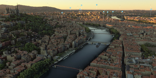
Explore Lyon and its landmarks in high definition with this add-on. Hospitals are detailed in ultra HD for a realistic flying experience. Enhance the scenery further with additional extensions available for download. Dont forget to visit the creators website for more information and updates.
by AdrianL
Dijon, Bourgogne, France
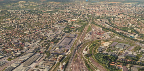
Dijon, Bourgogne, France (38 cm res.). Dijon center is on HD (19 cm res.). The CHU is on UHD (9 cm res.). Parts 1 & 2 are required. Parts 3 & 4 are optional. When all the parts are downloaded , simply extract into community folder. This scenery...
by AdrianL
Geneva East, Switzerland-France (Extension)
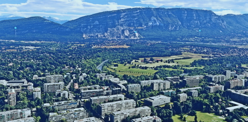
Explore the northeastern and southeastern parts of Geneva, Switzerland and France with this add-on, featuring detailed locations like Hermance, Annemasse, and more. Designed to work as a standalone unit, you can enhance your experience by combining it with other Geneva scenery extensions. Ensure to review system requirements before installation for optimal performance.
by AdrianL
Geneva, Switzerland
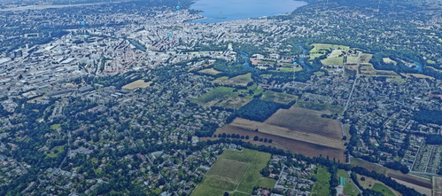
Explore Geneva, Switzerland with this detailed add-on featuring high-definition scenery of the city center and ultra-high-definition textures of the hospital (HUG). Extend your experience by adding Geneva East and Geneva West scenery. Simply extract the downloaded parts into your community folder for a seamless integration. This zip file includes photogrammetry data, optimized for Geneve-Cointrin Airport.
by AdrianL
Comments for this addon are closed.
Comments(93)
about 1 year ago
Superbe travail!
over 1 year ago
over 1 year ago
En espérant une petite maj du secteur, je te payerai une bière ;)
Merci à toi !
almost 2 years ago
almost 2 years ago
J'ai vu récemment des visuels de Ajaccio sur le nouveau FS, ça ne sera clairement pas à la hauteur de ta scène. Est-ce qu'un portage est prévu ?
Merci encore pour ton superbe travail
almost 2 years ago
Oui, malheureusement, la qualité des villes ne sera pas améliorée, au grand regret de tous… du moins, pas au lancement.
Pour ma part, je ne pense pas passer à MSFS 2024, et ce pour une raison simple : ma machine. Mon ordinateur est déjà en difficulté avec des villes en photogrammétrie native comme Paris. J’ai peur que MSFS 2024 lui donne le coup de grâce et que je ne puisse pas franchir cette marche.
Par curiosité, je tenterai tout de même de le tester sur ma configuration actuelle, mais je suis assez pessimiste.
Avec un peu de chance ou un miracle, les scènes pourraient fonctionner tel quel… Je ne sais pas trop.
Si vous avez l’occasion de tester ça, je serais curieux d’avoir votre retour.
À bientôt !
almost 2 years ago
Attendons un peu pour voir ;)
Après avoir fait quelques test, je te confirme que la scène n'est pas 100% compatible avec FS2024.. :(
Quelques soucis de couleurs par ci par la.. mais dans l'ensemble elle fonctionne quand même.
J'espère que tu suivra sur Fs2024 cette scène était un must have pour moi.
Merci ! :)
almost 2 years ago
almost 2 years ago
almost 2 years ago
almost 2 years ago
about 2 years ago
about 2 years ago
"Do I have to delete my old files if you update?
Yes, by default, delete and replace all files in the scene unless the file to be replaced is clearly stated in the description or changelog."
So delete the old files and replace ...
TY
about 2 years ago
Mais superbe, un grand pas en avant par rapport à l'ancienne version.
Je t'ai payé une bière pour ton superbe travail ;)
about 2 years ago
Oui, j'ai enlevé le maximum d'arbres, mais il en reste encore :( ... Un travail de titan pour tout enlever, c'est juste impossible :)
Aïe, aïe, aïe, c'est parce que je ne suis jamais venu sur ta belle île, ça ! Je vais voir pour un correctif là-dessus :) Pas sûr que je puisse faire mieux pour le reste...
Encore merci pour ce commentaire qui fait très plaisir ! Je ferai bon usage de cette bière ;)
Ciao et merci :)
about 2 years ago
about 2 years ago
Thank you very much and greetings from EDDM
over 2 years ago
over 3 years ago
Après installation de la version 2.0 et des addons recommandé dans le répertoire community aucun changement de visuel dans MSFS version Steam MAJ mai 2023.
Les autres addons installés dans ce répertoire fonctionnent.
Difficile donc de noter
over 3 years ago
I don't think I can ever make one this stable, considering the area covered. Congratulations bro. The quality and frame rate is amazing. Thank you. More of France and Italy coastline please.. 😁