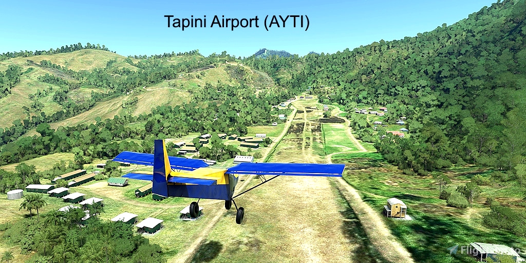
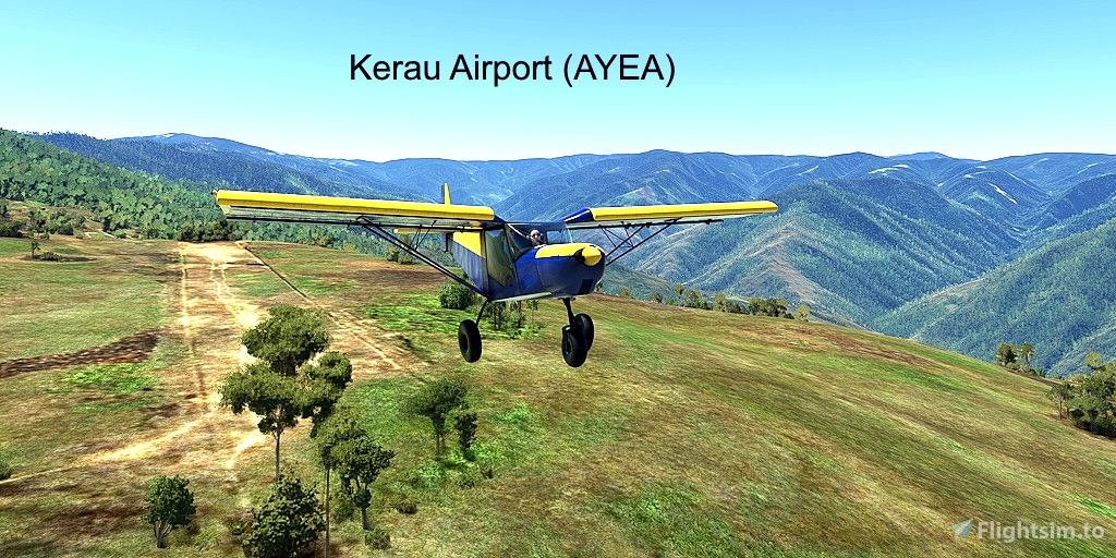
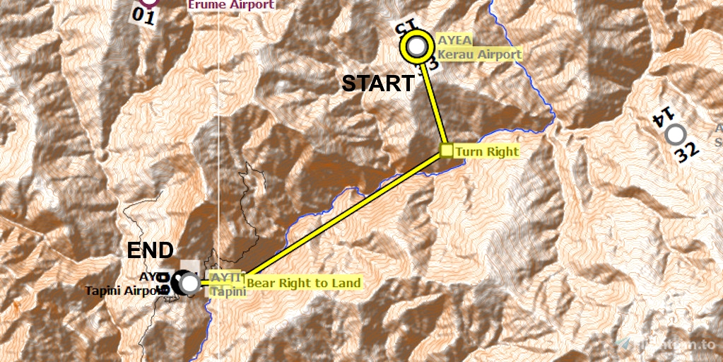
Kerau (AYEA) and Tipini AYTI) airports are primitive runways in the mountains of Papua New Guinea. Depart from mountain-top Kerau, fly through a valley, and land at the steep grass runway at Tapini.
Runway that departs in the direction of the flight plan: 15
Distance: 9
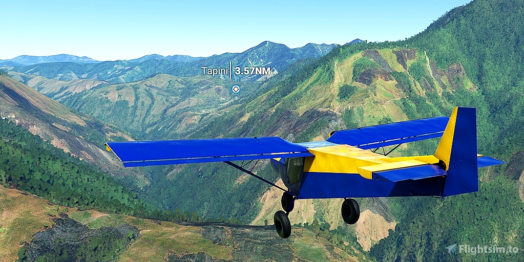
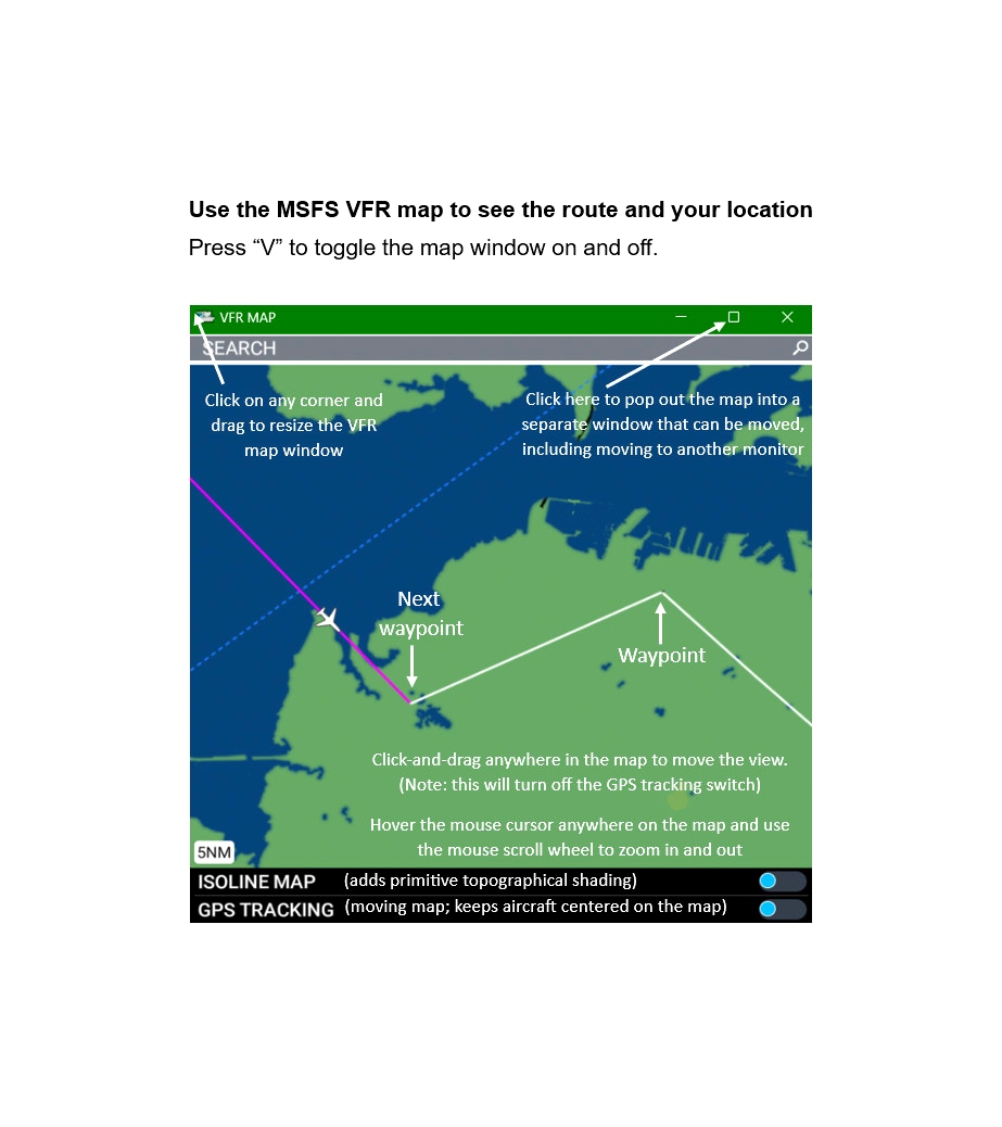
No navigation or GPS instruments are required; simply follow the on-screen markers.
Do not engage the copilot or autopilot. They may alter or suppress waypoints.
MSFS settings for the best experience: Options > Assistance Options >
- Piloting > AI Radio Communications (ATC) > Off (required to properly display the waypoints)
- Navigation Aids > Route and Waypoints > On
- Points of Interest > Landmark Markers > On
- Points of Interest > Airport Markers > Off (optional: declutters screen)
- Points of Interest > Display Direction to Chosen POI > ON
- Points of Interest > Display All Labels > Off
- User Experience > ATC Enforce Flight Plan > On (prevent current conditions from overriding selected runway number)
How to Use This Flight Plan
- Unzip the downloaded file into any folder.
- The flight plan is the file that has the “ .pln ” filename extension.
- MSFS > Welcome tab > World Map > Press Spacebar twice (More > Load) > Load From ...
- Navigate to where you saved the flight plan and select it.
- In the "From" airport, select the departure runway (provided in this description, above).
- Click on the Flight Conditions window at the top right to adjust time and month.
- Click on "Fly" at the bottom right of the screen.

 FederFlyer

