


Second in my series of resurrected airports in Papua New Guinea.
This scenery is based largely on memory and a few low res photos.
Rabaul Lakanai airfield was used by the Japanese as a fighter strip in WW2. Post war it became the airport for the city of Rabaul. It operated as such until 1994 when Mount Tavuvur {located upon approach to RWY 30) and Mt Vulcan erupted simultaneously destroying the airport and half the city of Rabaul. After Lakunai airport was destroyed the new airport for Rabaul was built at Tokua AYTK adjacent to the town of Kokopo which as replaced Rabaul as the administrative and commercial centre for East New Britain province
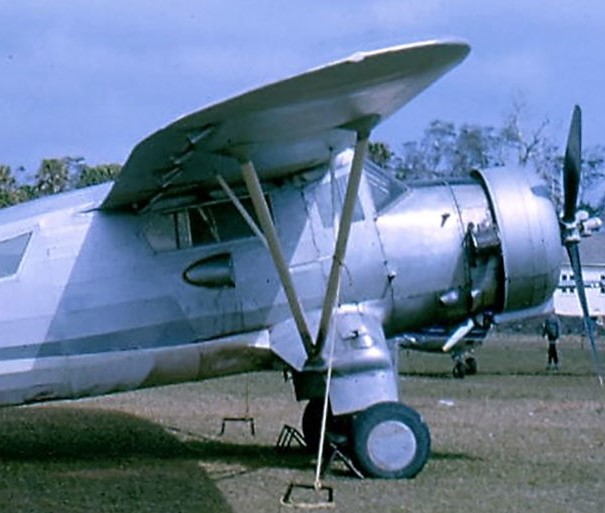
As a child in the early 50's I flew into Rabaul many times in a Qantas Catalina which was based in Simpson Harbour close to the defunct Cosmo Hotel. In the 60's I had many flights into Rabaul in DC3's
My scenery depicts Rabaul Lakunai around 1970. I have deliberately left the scenery area to the east of the airport largely untouched as it ads some historical significance to the build
I have used ICAO code NGRB as the original AYRB has been reallocated
Before and after screenshots are attached
I wish to specifically thank ColinJ for his excellent libraries: library1v10-cbj and library2V10-cbj NOTE: please download from flightsim.to !
I hope you enjoy my scenery and ask you to forgive me for errors (old age!)

 Mountainair


Thank you for this...I would love to see the military airport at IwoJima
1 years ago
victimblue
TY!
2 years ago
Ginete