
LFYI V1.0
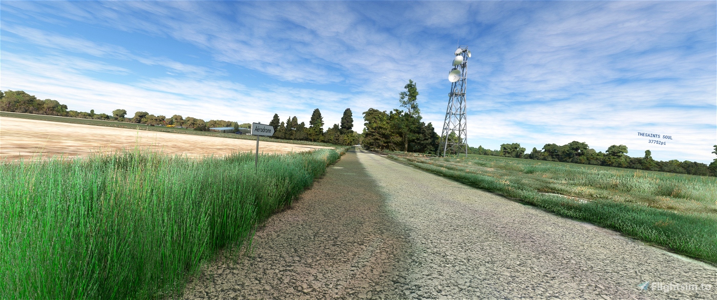
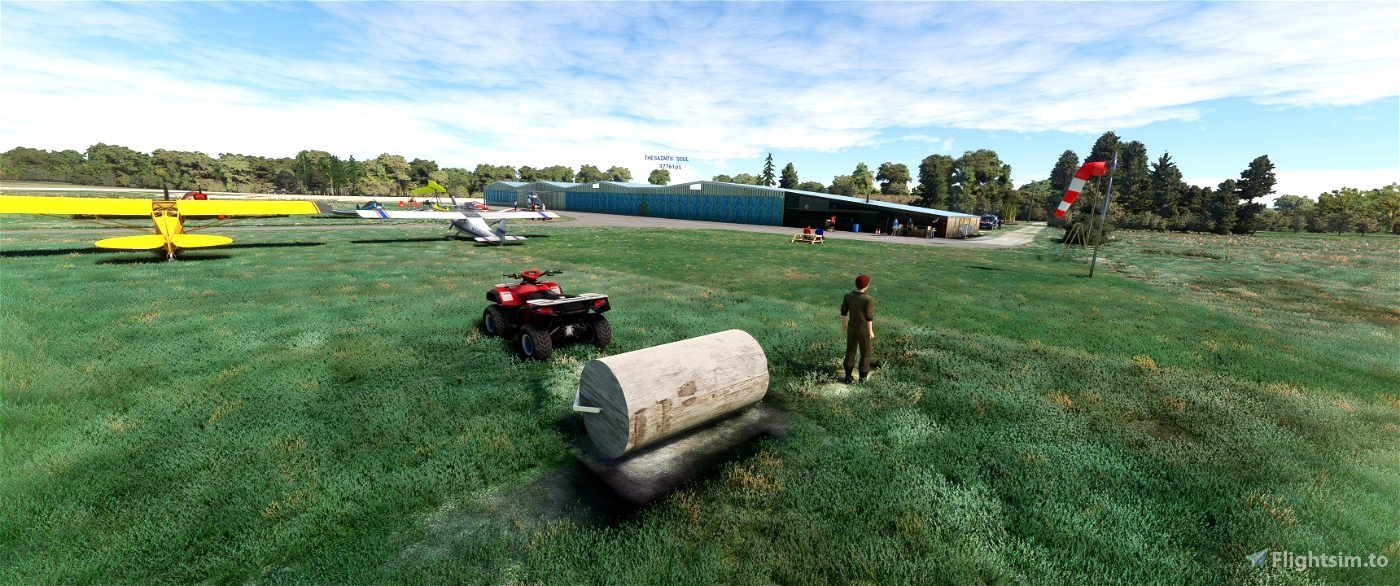
The Sabonnères aerodrome (ICAO code: LF3126) is a private French aerodrome
located in the commune of Sabonnères, in the department of Haute-Garonne in the Occitanie region.
Field altitude: 320 metres (1,050 ft)
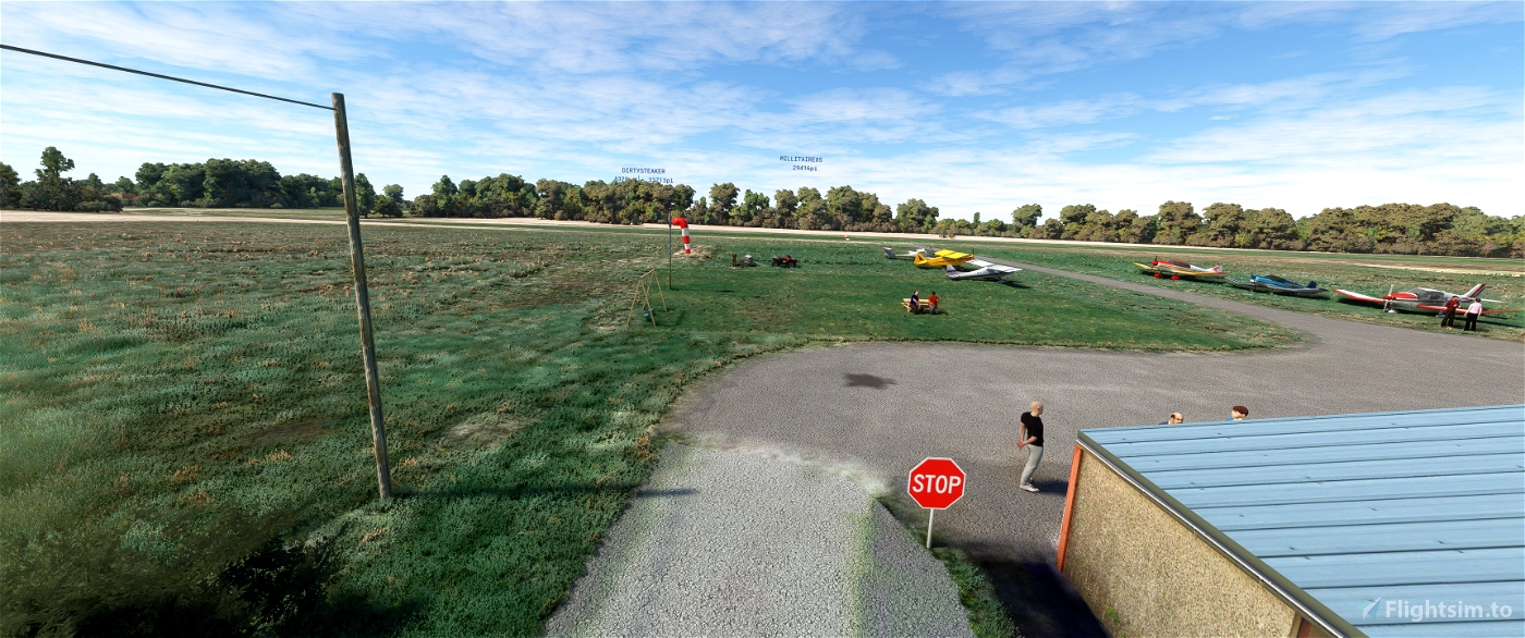
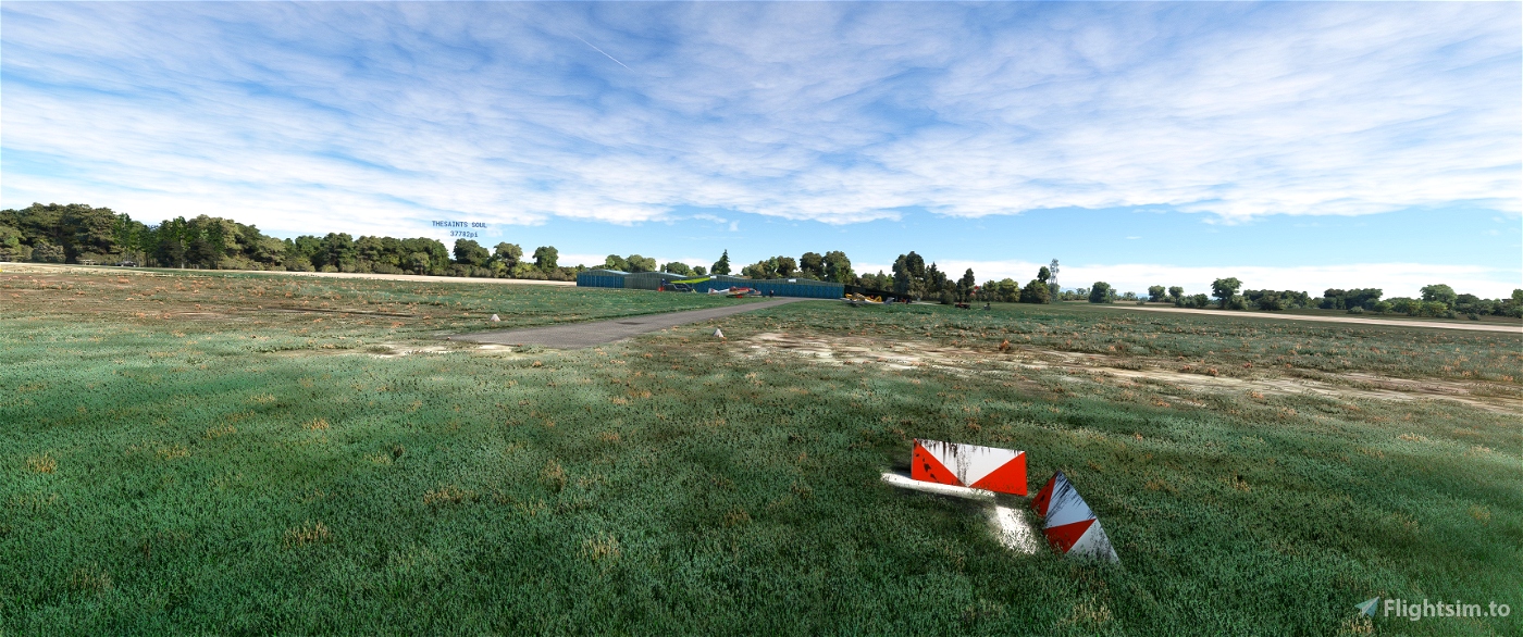
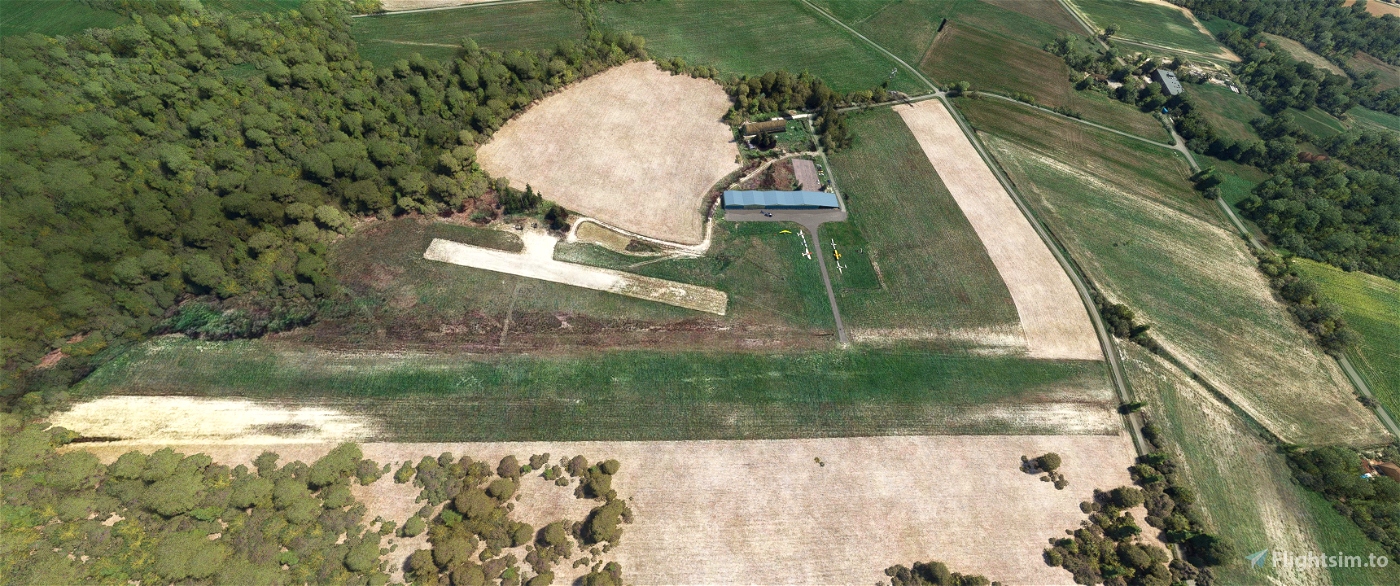
Runway: grass 600 metres x 30 m.
Aéroclub de Sabonnères or Sabonnères Aéro. First flights, flight training.
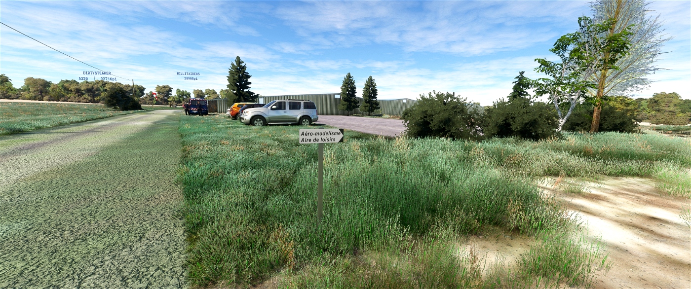
Aeromodelling runway.
ULM.
Runways
Direction Length Surface area
09/27 600 m (1 969 ft) grass
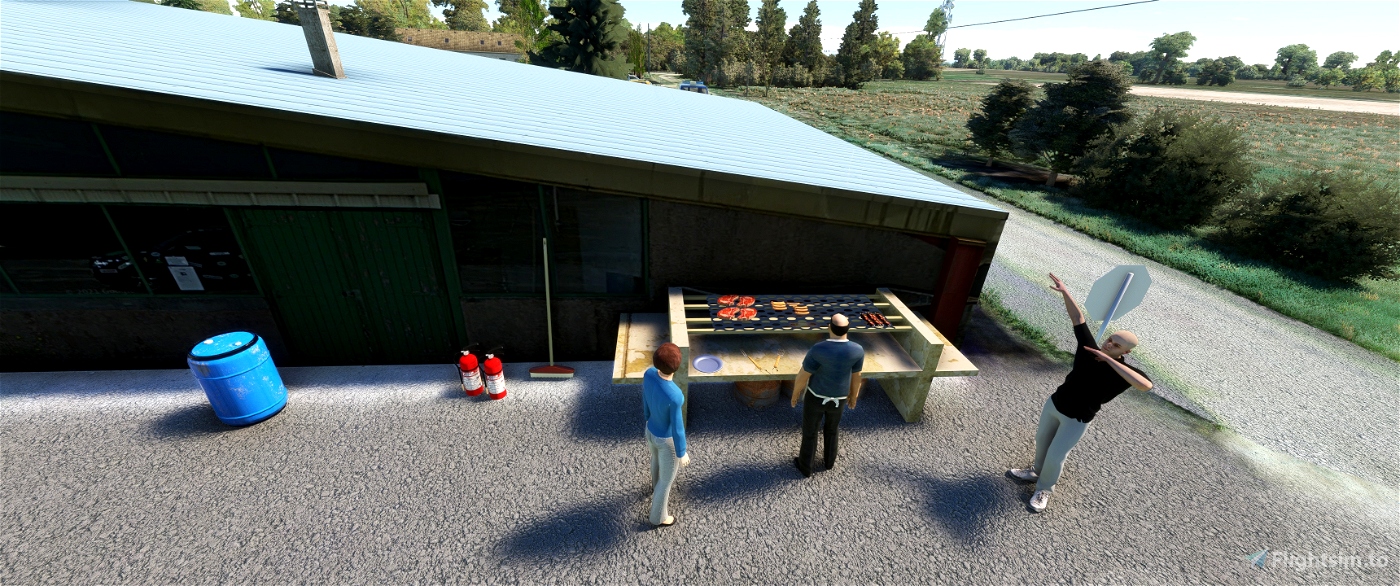
Restaurants nearby, Gîte nearby
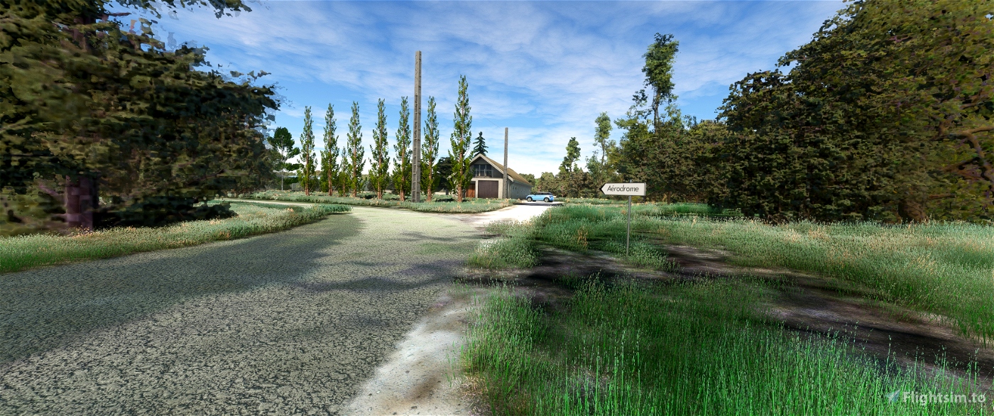
Remarks: Private land. Use subject to authorisation and registration on a list
on a list filed with the Prefecture. Contact the club for authorisation.
Fill in the register of passage in the letterbox.
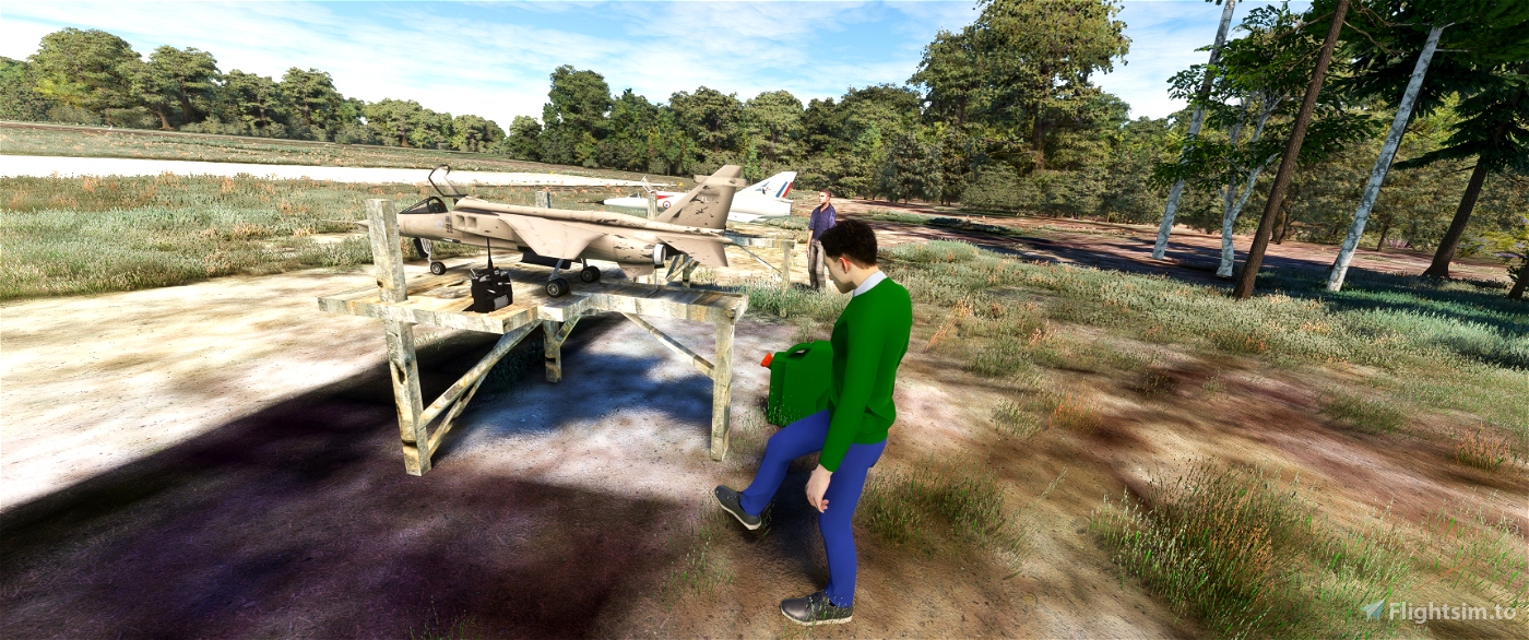
The very light strip is a model aircraft runway, and be careful, it has already been
confused with the main runway.
in MSFS2020 it is called LFYI
Balmax31 from FSTO kindly asked me if I could make this little field
seeing that he sent me recent photos I made the small plot where he practices
Thanks to him
you will need three libraries
Animated Human 3D Models Library
https://fr.flightsim.to/file/33166/animated-humans-library
Emerald Object Library
https://emeraldscenerydesign.com/
https://fr.flightsim.to/file/8824/emerald-object-library
totof- aircraft library v4
https://fr.flightsim.to/file/17182/totof-aircraft-library-v1-1
I chose Google Maps with MapEnchancement as my base satellite photo.
if you don't use it you'll have a delay on all the installations, you've been warned.
Thanks to Mouss d'Occitania for sharing these FR cars,Michel VP ,Totof ,
Superspud ,OEL for the library
______________________________________________________________________________________________________
LFYI V1.0
L'aérodrome de Sabonnères (code OACI : LF3126) est un aérodrome privé français
situé sur la commune de Sabonnères, dans le département de la Haute-Garonne et la région Occitanie.
Altitude du terrain : 320 mètres (1 050 ft)
Piste : en herbe 600 mètres x 30 m.
Aéroclub de Sabonnères ou Sabonnères Aéro. Baptêmes de l'air, formation au pilotage.
Piste d'aéromodélisme.
ULM.
Pistes
Direction Longueur Surface
09/27 600 m (1 969 ft) herbe
Restauration à proximité, Gîte à proximité
Observations : Terrain privé. Utilisation soumise à autorisation et à inscription sur
une liste déposée à la Préfecture. Contacter le club pour cela.
Remplir le registre de passage dans la boîte aux lettres.
La bande très claire est une piste d'aéromodélisme, et attention, elle a déjà été
confondue avec la piste principale.
dans MSFS2020 elle se nomme LFYI
Balmax31 de FSTO ma demander gentiment si je pourrais réaliser ce petit terrain
vus qu'il ma envoyer des photos récentes j'ai réaliser le petit terrain ou il pratique
Merci a lui
vous aurez besoin de trois bibliothèques
Animated Human 3D Models Library
https://fr.flightsim.to/file/33166/animated-humans-library
Emerald Object Library
https://emeraldscenerydesign.com/
https://fr.flightsim.to/file/8824/emerald-object-library
totof- aircraft library v4
https://fr.flightsim.to/file/17182/totof-aircraft-library-v1-1
J'ai choisis comme photo de base satellite Google Maps avec MapEnchancement
si vous l'utilsez pas vous aurez un décalage sur toute les instalations , vous êtes prévenu.
Merci a Mouss d'Occitania pour le partage de ces voitures FR,Michel VP ,Totof ,
Superspud ,OEL pour leurs bibliothèques
laserjet©34 Mars/2024

 laserjet34


9 days ago
9 days ago
laserjet34
Rico32
2 months ago
2 months ago
laserjet34
golfbravo
2 months ago
2 months ago
laserjet34
balmax31
2 months ago
2 months ago
laserjet34
CaptainMoonlight
2 months ago
2 months ago
laserjet34
Alainlu
bises
2 months ago
2 months ago
laserjet34
PAPYDANIEL66
Yeah, with the model aircraft runway, we have the same happening at Ontur airfield LEOT, sometimes some clueless visitor pilots land there when the wind is on that direction.
Cheers
2 months ago
2 months ago
laserjet34
Socorrista22198
Man! It´s your fault if my hard drive runs out of free space! 😉
Just a suggestion (I asked before): LeMans, LFRM, i know, you can make this airport beauty! Pls!
All my best regards, mon ami! Henry.
2 months ago
2 months ago
laserjet34
McHenry