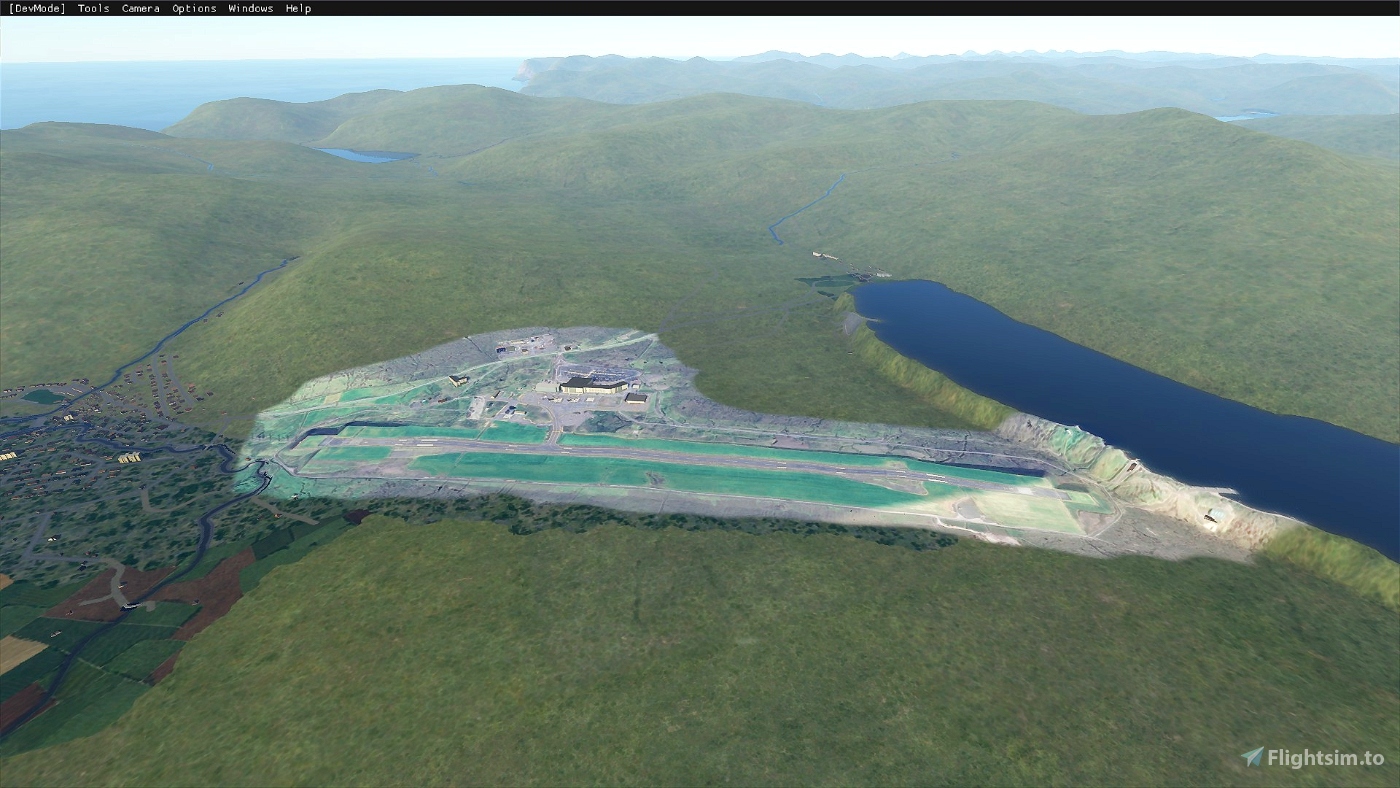
Here is my first aerial image pack. For EKVG, Vagar, Faroe Islands. This package only contains the aerial images for the airport. This first version isn't geomapped exactly, an update will follow. The airport itself will come with another upload here.
Created from Google maps, see the readme file inside.
Installation: Download and open the .zip file. Copy the contained folder to the 'community' folder of MSFS.
Reviews
There are no reviews yet.
Comments
Pretty empty over here.
