Specially for VFR flying Netherlands.
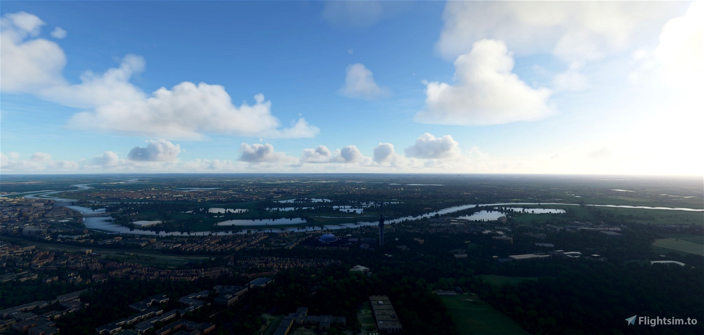
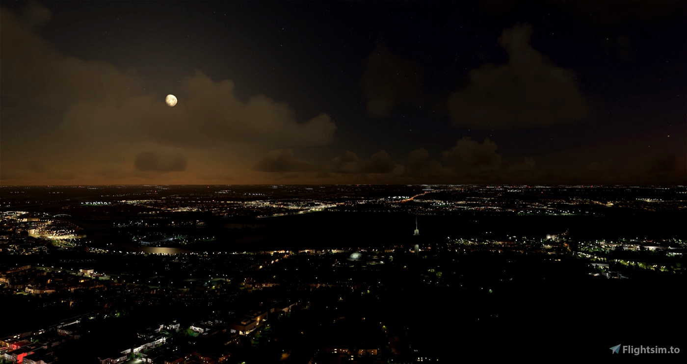
Arnhem Landmarks.
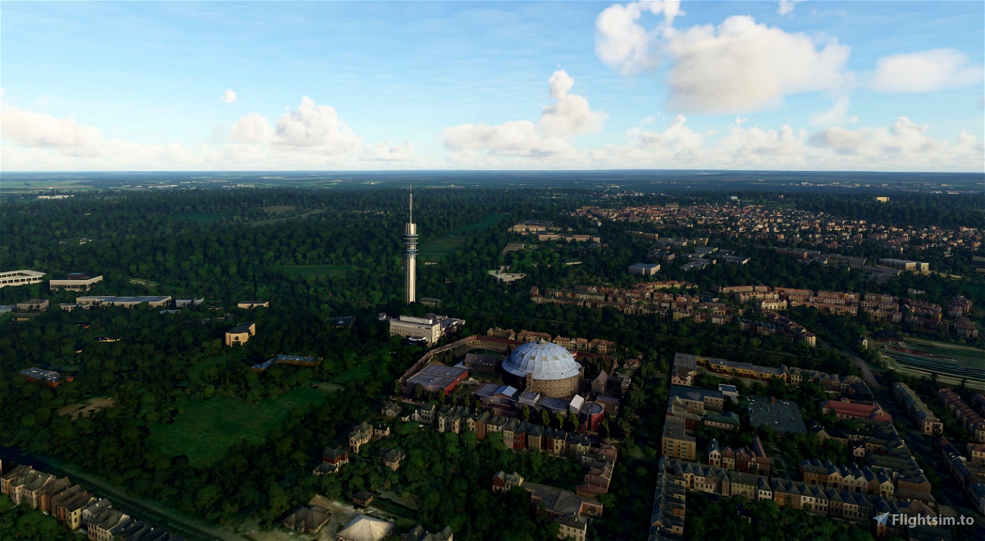
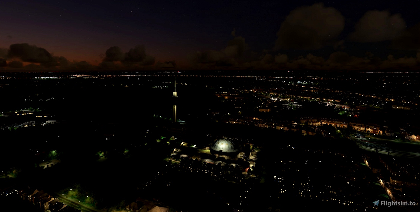
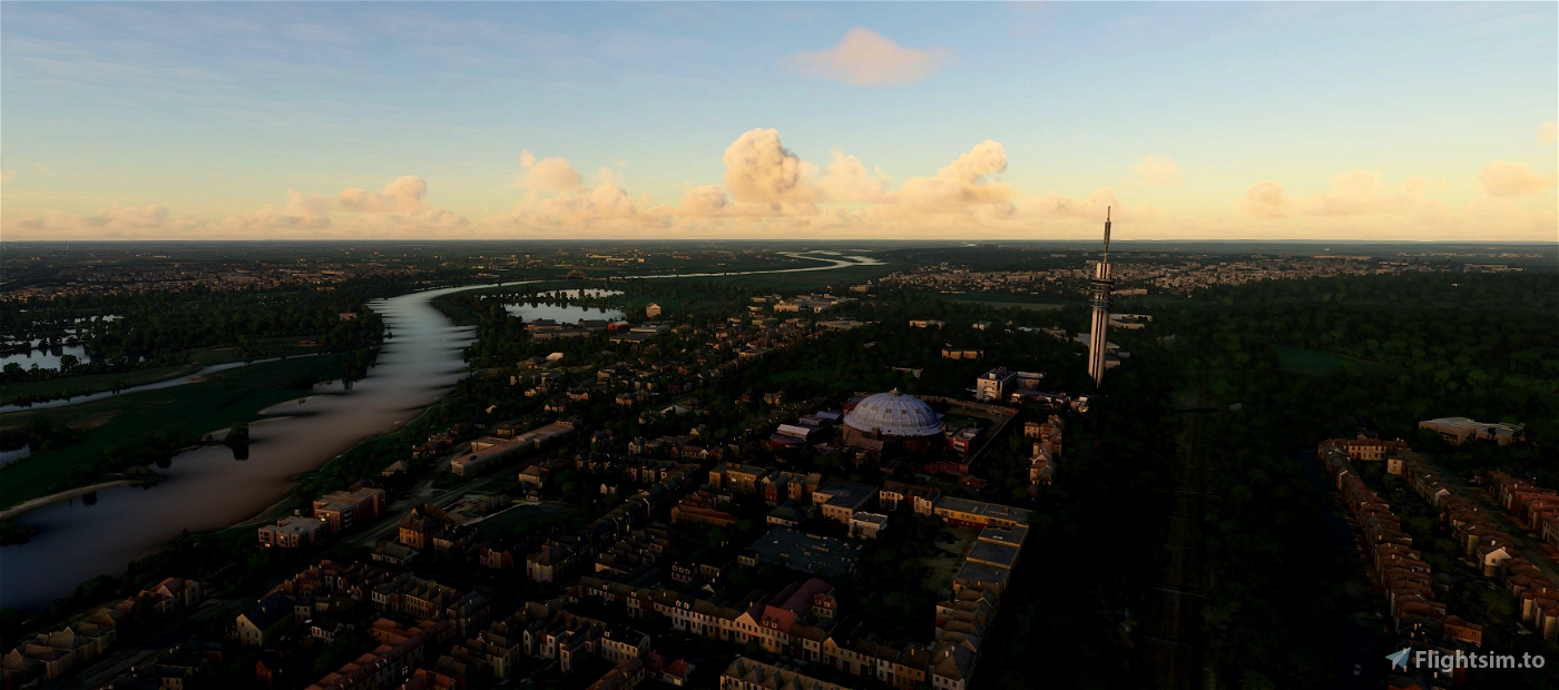
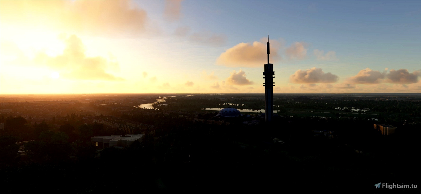
KEMA Toren / TenneT-toren
KEMA Toren is a 149-metre (489 ft) broadcasting tower built of reinforced concrete at Arnhem, Netherlands. It was built in 1969 by KEMA for communicating between high voltage substations throughout the Netherlands. It is now used for public radio and TV broadcasting. It is also known as TenneT Toren, after TenneT, the present owner of the tower.
Koepelgevangenis (Arnhem)
The Koepelgevangenis is a former prison in Arnhem, Netherlands. It is one of three Panopticon-style buildings situated in the country. Designed by Johan Metzelaar, the building was completed in 1886. A Rijksmonument, the prison closed in 2016.[1] After the prison's closure, the building, along with the one at Haarlem, was used to house asylum seekers to the Netherlands.[2][3]
(source Wikipedia)
-----------------------------------------------------------
File credits
This free creation contains content from Google Maps or Google Earth. In accordance with Google Terms of Services and especially point 2.2 of Google Maps/Google Earth Additional Terms of Service, this creation is based on « fair use » or « fair dealing » of the data provided by google throught its services. No commercial use or any gain is or will ever be made by the author of this creation, who doesn’t own anything regarding google assets but a simple user Licence. According to the following document https://www.google.com/intl/en-GB/permissions/geoguidelines/, the author is freely sharing a creative application of Google Maps or Google Earth. The author will not recieve any form of retribution for sharing his work, even general donations from users of file hosting web services under the form of « rewards » or « tips ». If this content would be found somewhere where it is provided in exchange of money or any kind of retribution, I wouldn’t be with the consent of the author who will stick to strict free content creation diffusion.
Part of this content including 3d data and textures is copyrighted by
Imagery ©2020 Google, Imagery ©2020 CNES/ Airbus, Maxar Technologies,
USDA Farm Service Agency, Map data ©2020 Google.

 Geraldar98


4 years ago
Flyingdutchie
I once bought ORBX VFR The Netherlands for Aerofly fs 2, but i was very disappointed to see that only the Grote Eusebius church was implemented in the scenery when flying above Arnhem and not this tower.
Also, the two towers at the new treinstation are not in that scenery.
That’s why i”m so happy that people like you sir exist, to make my little dream come true, flying above my hometown.... another thanks....
4 years ago
4 years ago
Geraldar98
jpht64
4 years ago
4 years ago
Geraldar98
RC034
4 years ago
4 years ago
Geraldar98
ArthurVince