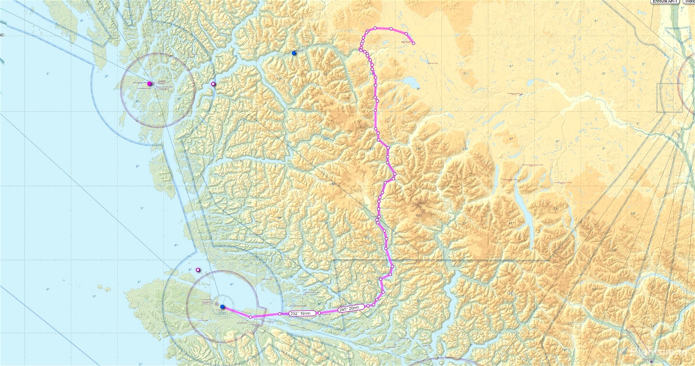
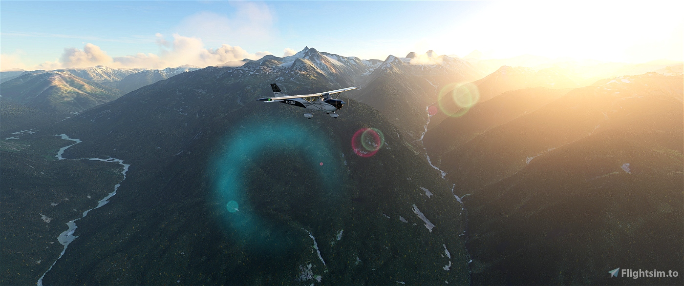
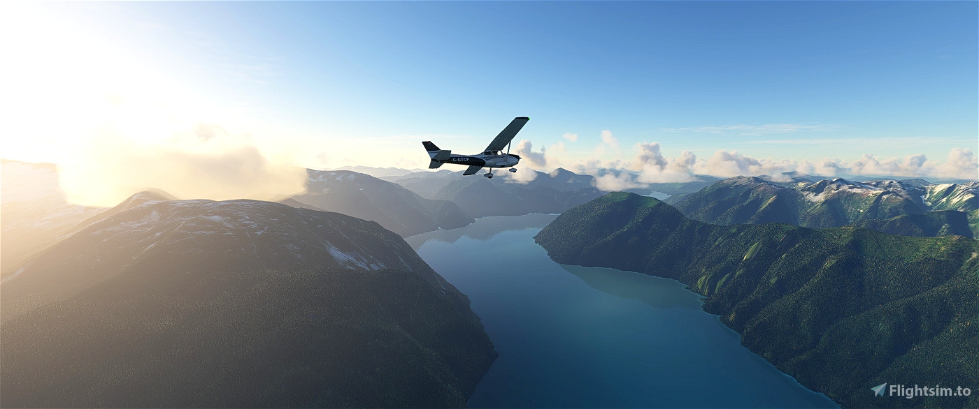
This is a GPS flight plan based on the real-world VFR routing from Anahim Lake BC to Port Hardy.
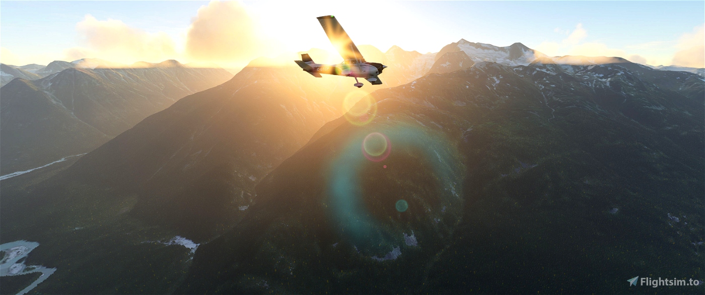
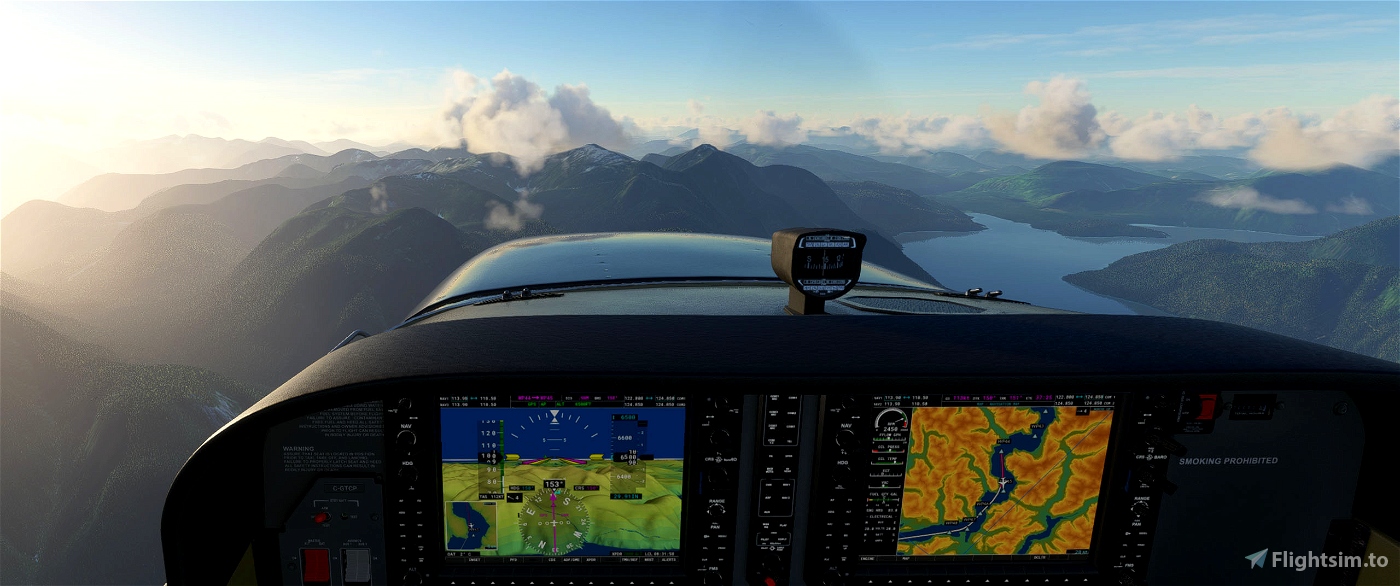
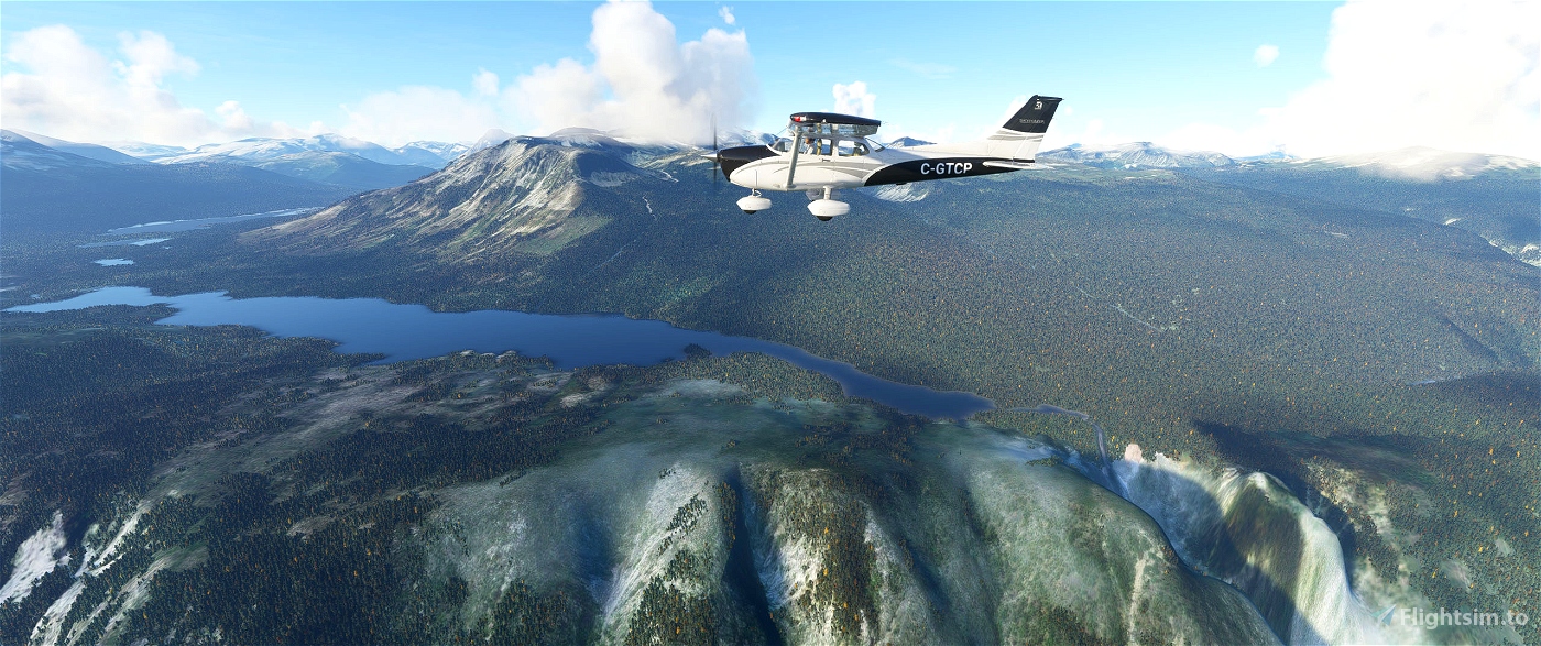
The routing takes you via the Atnarko River system, down along the Klinaklini River adjacent to the highest mountain (Mt. Waddington) in the coastal mountain range, to Knight Inlet, over Alert Bay and Port McNeil, then on to Port Hardy. This scenic tour of BC's coastal mountains will leave your breathless!
Trip distance is 209 nm.
Trip time 1 hour 55 minutes in a Cessna 172.
Recommended minimum enroute altitude is 6500 feet.
Anahim Lake airport elev. 3639'
Port Hardy airport elev. 71'
Reverse route is also included.

 deltasim59er


3 years ago
ECPatterson
3 years ago
deltasim59er