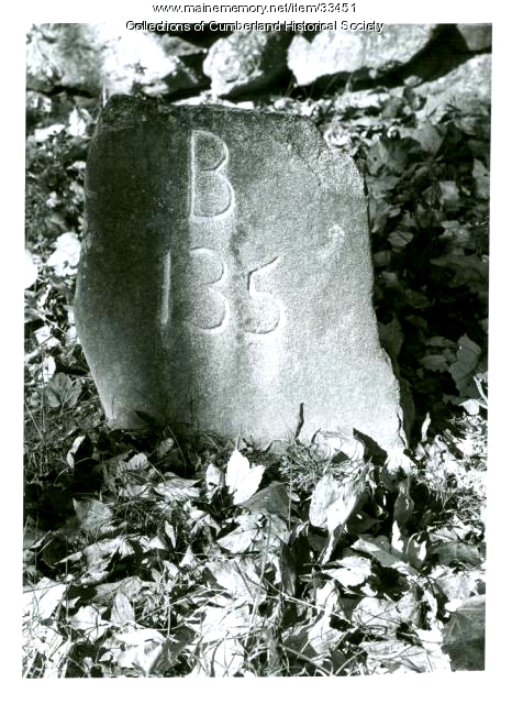
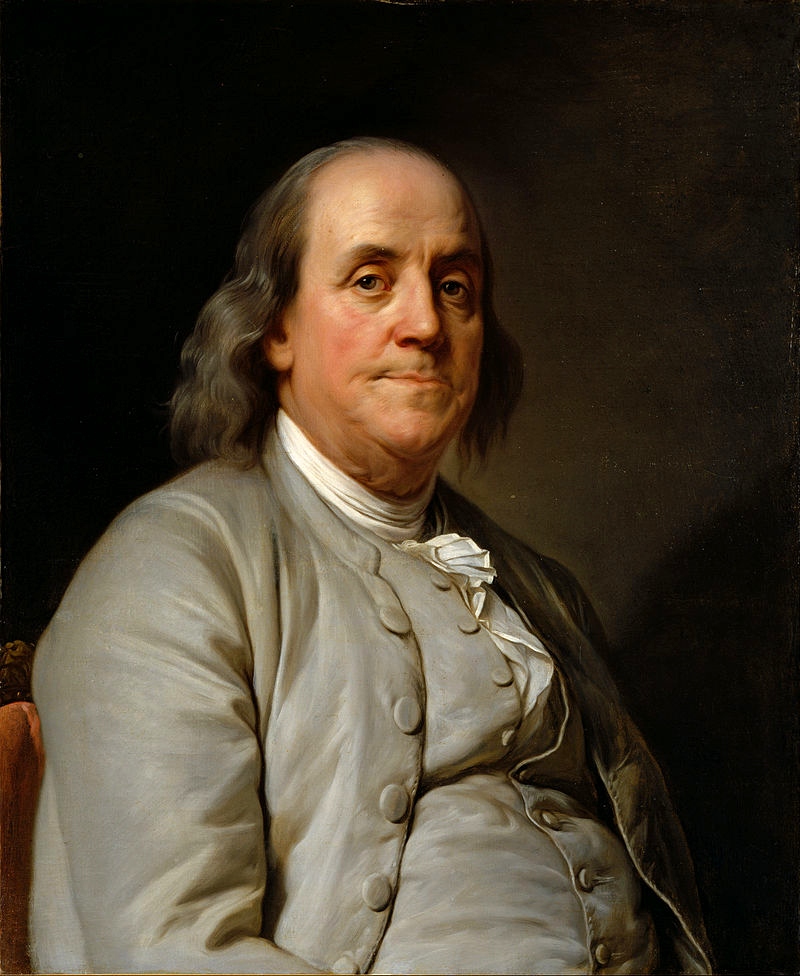
Some accounts say that Franklin drove along the route with his version of the odometer attached to a wheel of his wagon, and that he placed a wooden marker every mile. Other wagons were said to follow shortly behind him, replacing his markers with carved stone ones, some of which survive today.
The known locations of six markers in Maine:
- WP6 - Scarborough (see attached photo)
- WP7 - Westbrook Street, South Portland
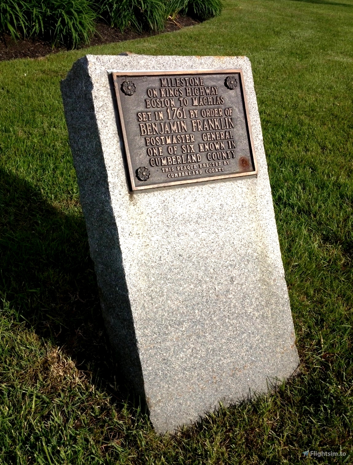
- WP11 - 100 Middle Road, Cumberland (135 miles from Boston; see attached photo)
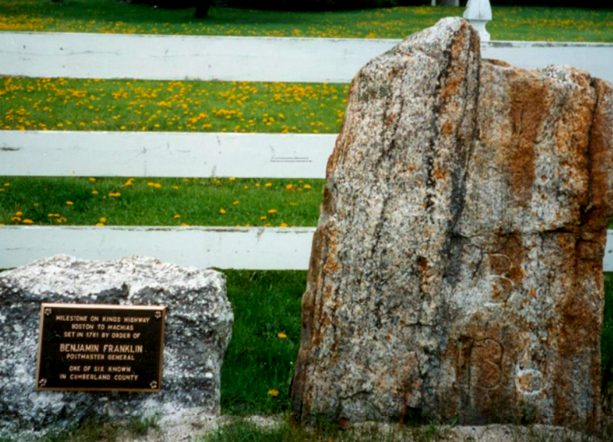
- WP13 - Foreside Road, Falmouth (at the end of a section of road still named Kings Highway, 136 miles from Boston; see attached photo)
- WP15 - Lafayette Street, Yarmouth
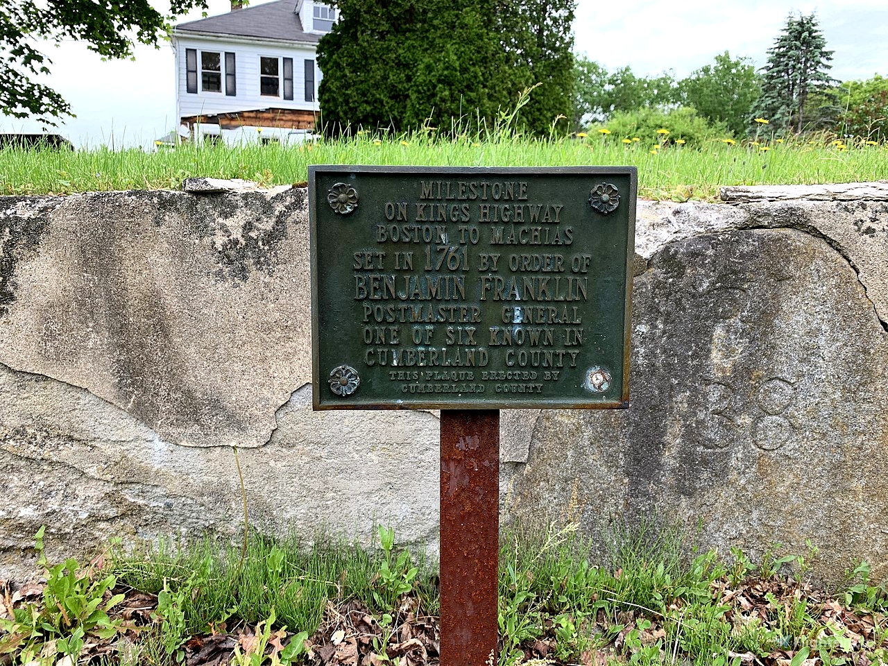
- WP18 - Pleasant Street, Yarmouth (138 miles from Boston; see attached photo)
More info:
- New England History Walks
- Scarborough: They Called It Owascoag - Roads: From Footpaths to Super Highway (mainememory.net)
- Stones of Northeastern U.S. - Historic - Milestones (stonestructures.org)
- The King's Highway from Portland to Kittery; stagecoach & tavern days on the old post road. (Book, 1953) [WorldCat.org]

 newtestleper


3 years ago
C0SM0S