Hello!
I host a live stream every week where we explore the National Parks together!
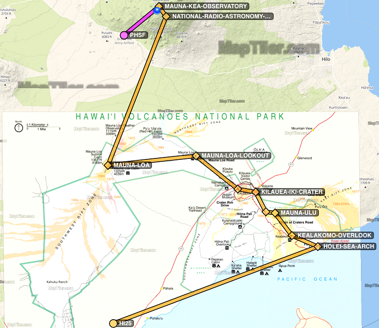
Before the stream, I research the park and help improve the park's Wikipedia pages. I also make a flight plan to showcase the park highlights and in case others want to fly along with me.
In the zip file you'll find:
- The .pln file with named waypoints (load this from the World Map screen of MSFS 2020)
- Relevant park map(s)
- A screen shot of where this flight plan goes relative to the park map
- MBTiles file(s) in case you have Foreflight or another app which supports these (this is how I overlay the flight plan and the park map when I fly around)
- ForeFlight .fpl file which matches the .pln in case you prefer ForeFlight (consider using a tool like Flight-Events as a GPS/AHRS device)
All the best,
Jules Altis
P.s. I highly recommend pulling Wikipedia up on the side and looking at the park while you explore.
Updates:
v1.3.1 - Specific takeoff runway set, so takeoff starts towards ocean
--- Original Version Uploaded was v1.3
v1.3 - Includes ForeFlight .fpl file (matches the .pln file)
v1.2 - Includes full sized park map for easy reference
v1.1 - Waypoints in .pln are named
v1.0 - .pln, screenshot, and MBTiles

 JulesAltis


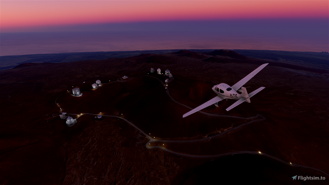
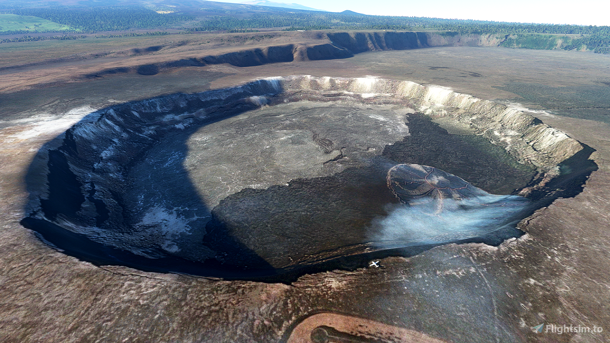
I had no idea of the elevation changes in Hawaii!
3 years ago
3 years ago
JulesAltis
RichardPlantagenet
3 years ago
3 years ago
JulesAltis
ostadler