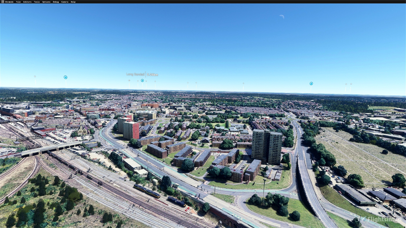
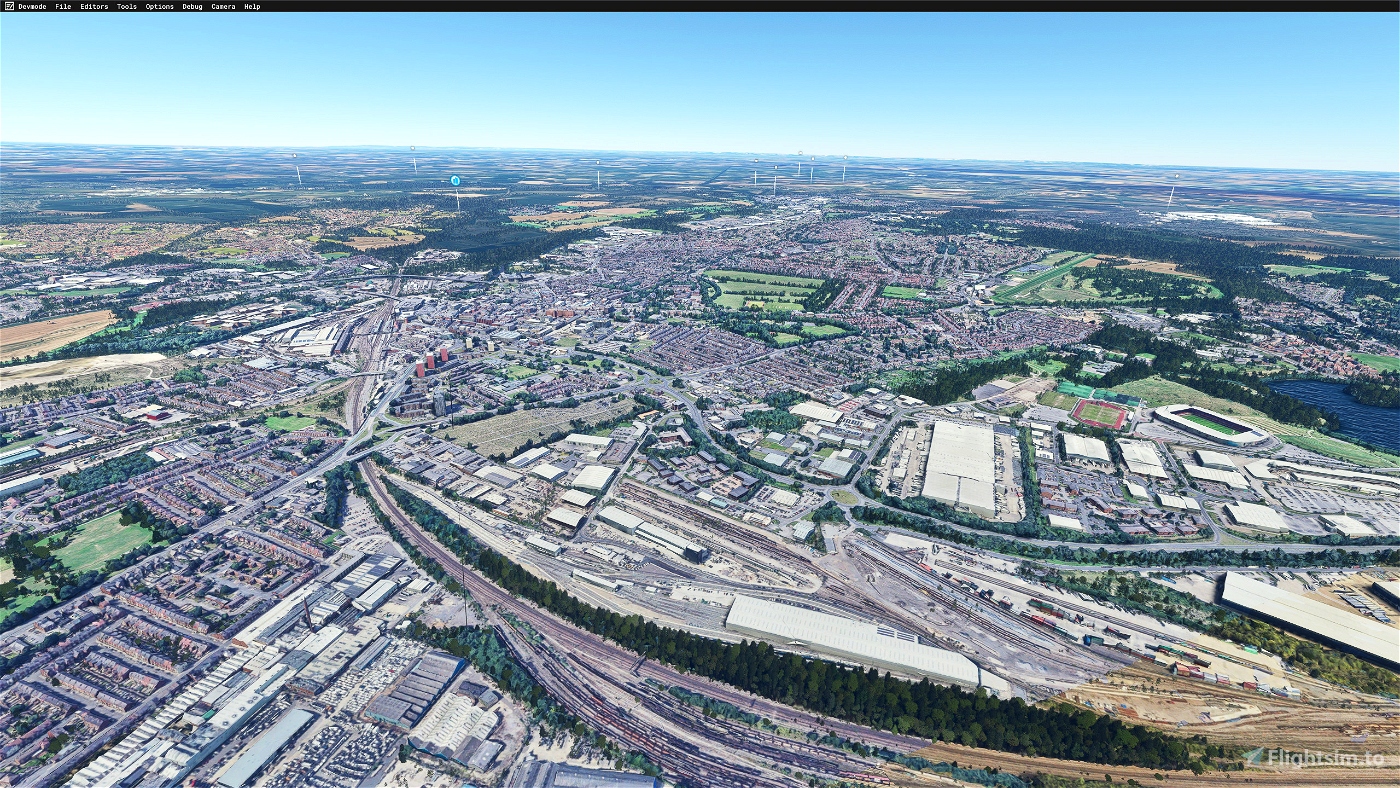

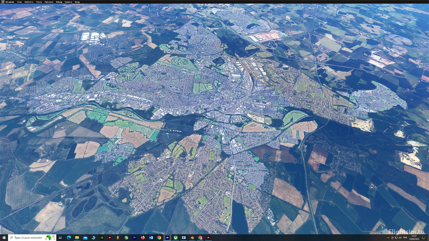
Doncaster city first ersion LOD 17-20
Installation PART 1: Download/ Unrar both files "Main file" & "Older version" to community folder
coordinates: 53.518810, -1.126547
INFO: LOD 17-20; space required: 18Go, textures: optimized- compressed- merged.
----------------------------------------------------------------------------------------------------
CREDITS:
Big thanks to Jonahex111, Thalixte, and MrMo for their excellent tools :
2 - Google Earth Decoder Tool: Made by Jonahex111
https://www.reddit.com/r/FS2020Creation/comments/j3faaj/google_earth_decoder_now_userfriendly/
3 - Optimization Tools Made by Thalixte: https://flightsim.to/file/26245/google-earth-decoder-optimization-tools-gedot-blender-addon
If you want to support me: https://paypal.me/demoken
 DemoKen


Really like how, in your last few sceneries, you are shaping the photogrammetry areas to fit into natural "borders or boundaries", such as roads, forests, fields, wooded areas, rivers, etc. Looks very professional and is much more pleasant on the eye than many sceneries by others which are just rectangular blocks of photogrammetry which cut across those "borders and boundaries". Would be great if you could do some more areas around the suburbs of north-west London and Hertfordshire, such as Elstree/Borehamwood, Watford, Bushey/Stanmore, Barnet/Finchley, Hatfield, Welwyn Garden City, etc.
11 months ago
stevebarron