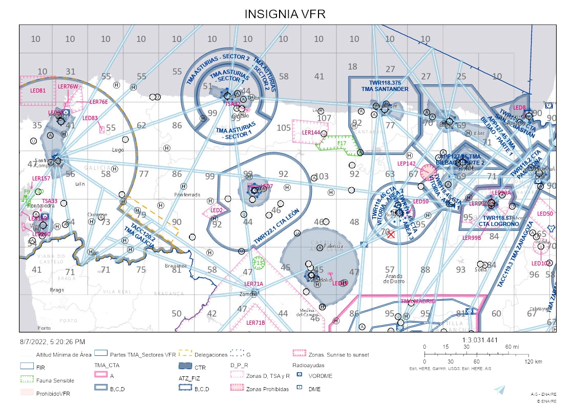
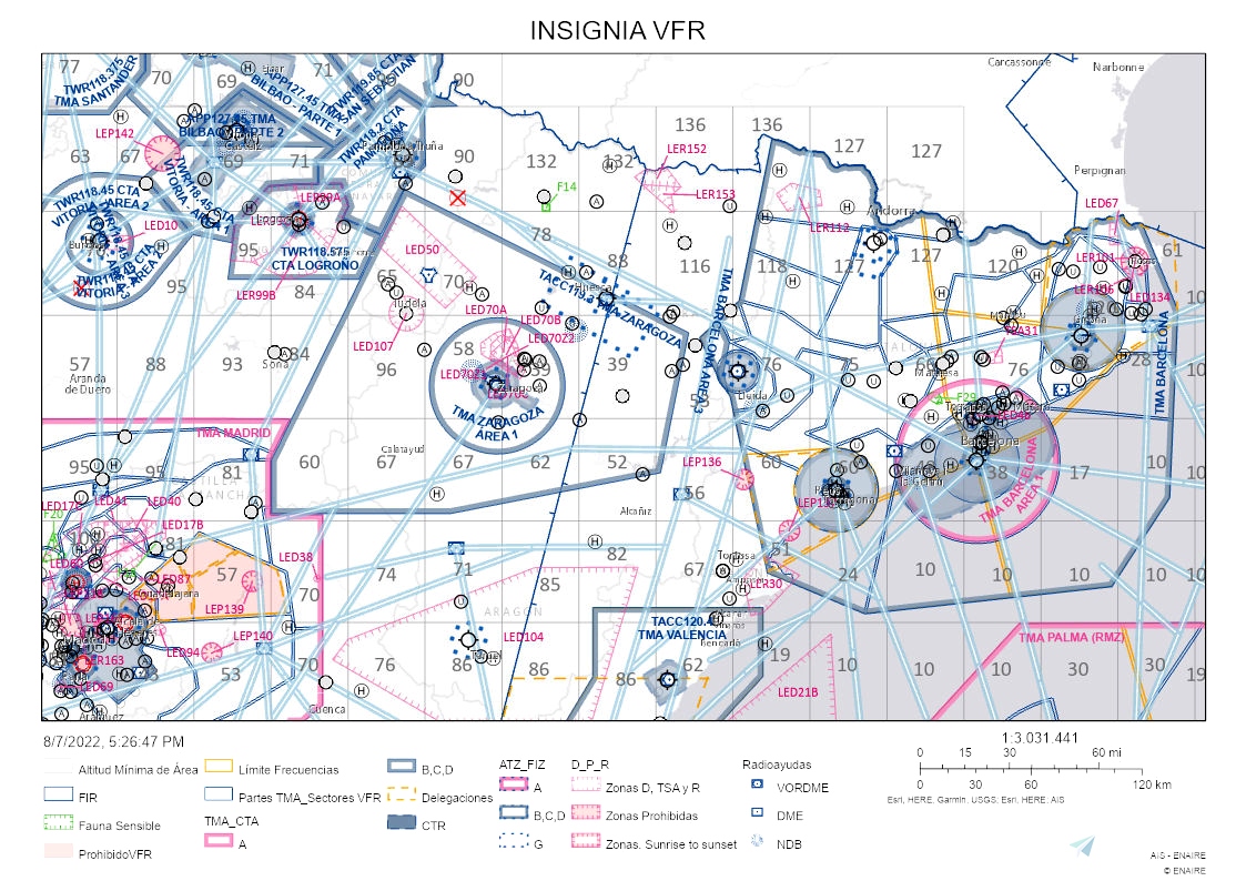
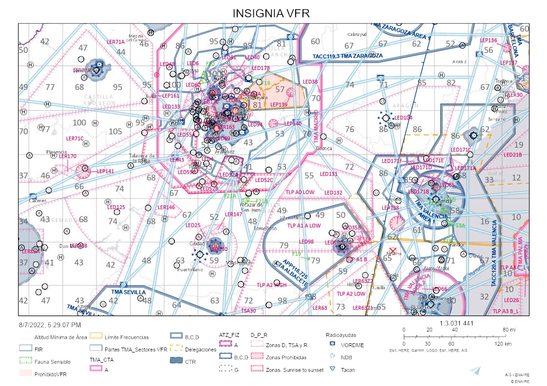
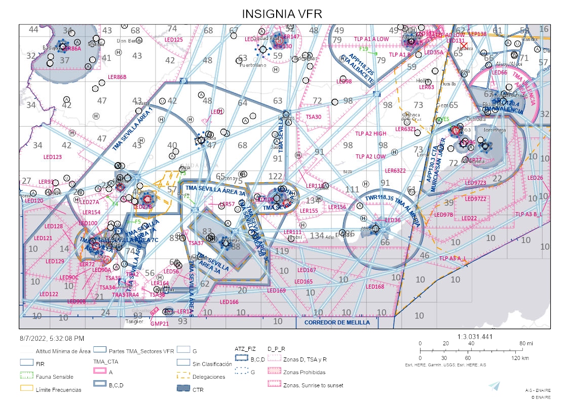
As all the tours I've made, this was for my own flights. I decided to share it to the MSFS community, may be someone interested on the challenges I do. There are some easy legs and very complicated others. Sometimes will be hard to fin the airfield, in this cases a preflight consult of satellital maps may be of great help. Of course is prefereable to fly with real weather with no nav aids. All the charts are from the Spanish AIP. There are three aerodromes with different names on the reality and MSFS, both are displayed on the pdf name.

 RoloBach

