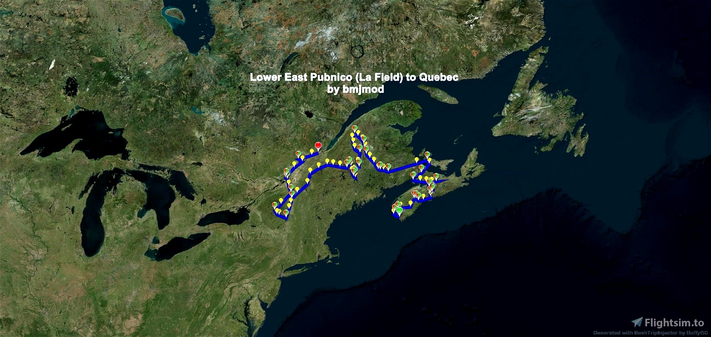
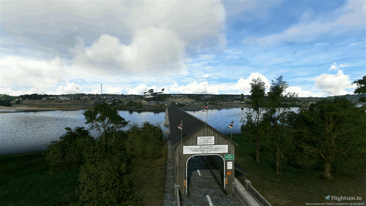
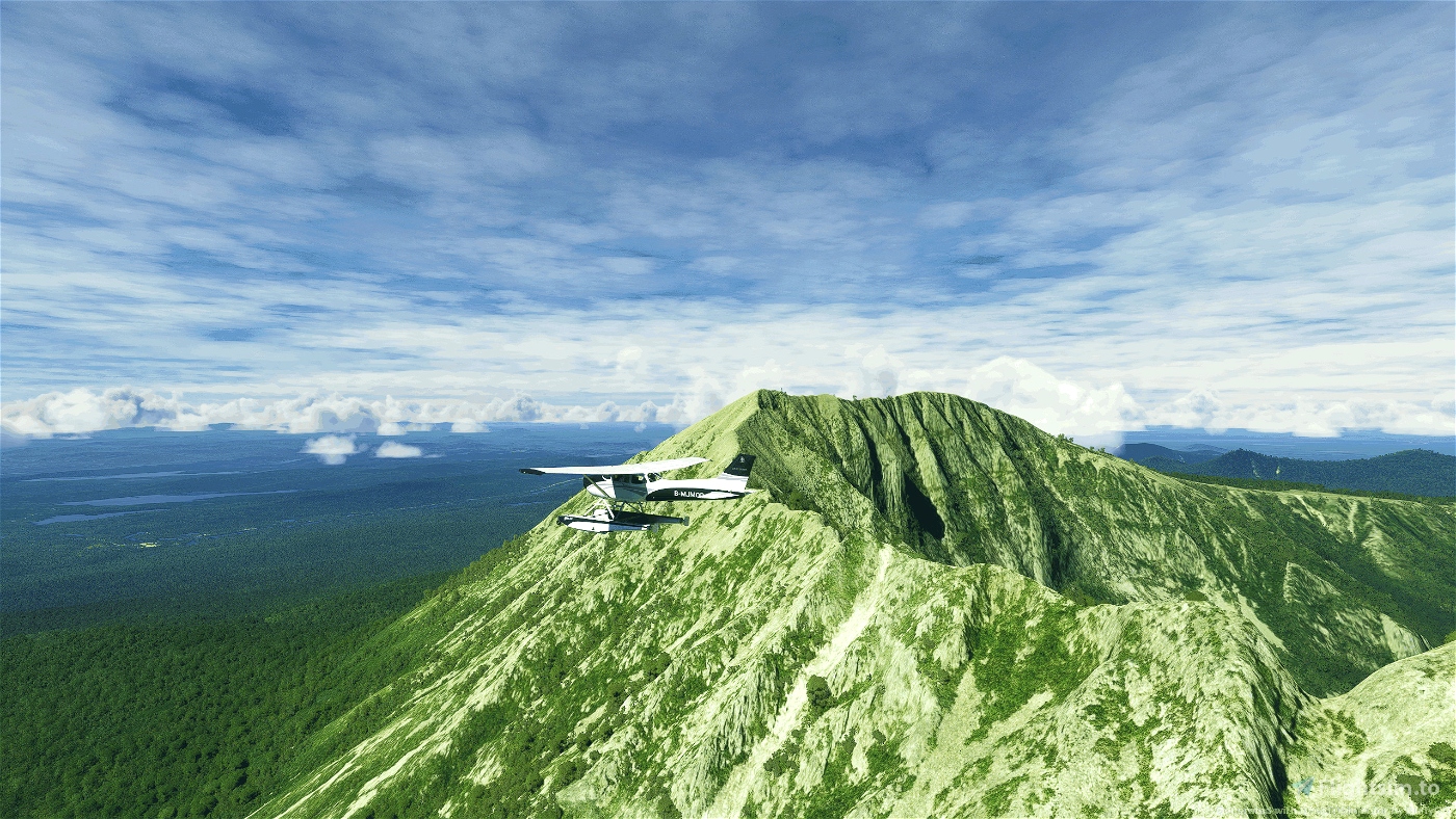
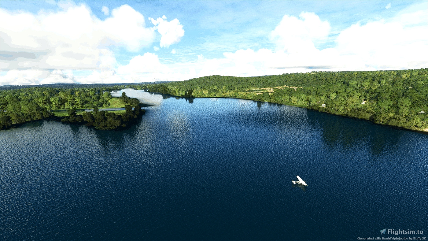
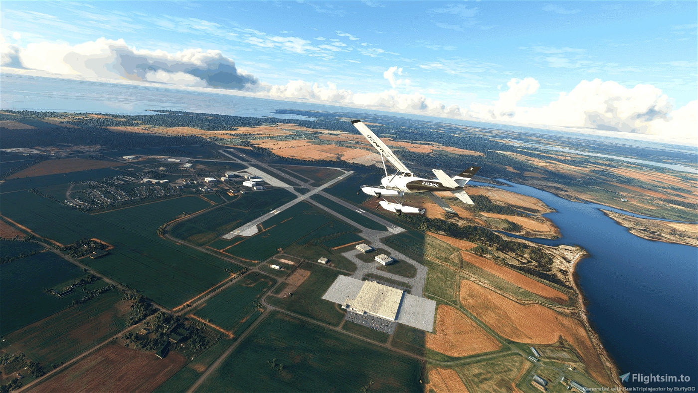
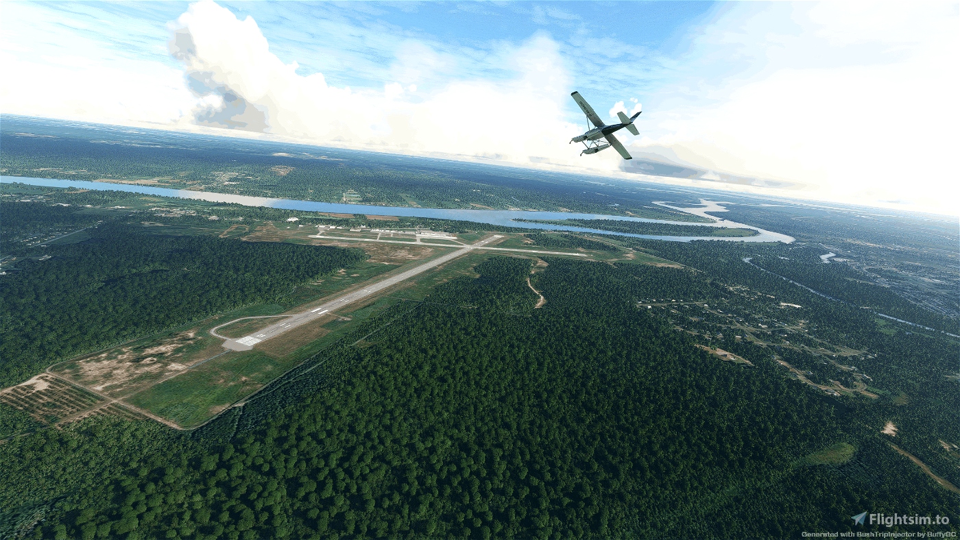
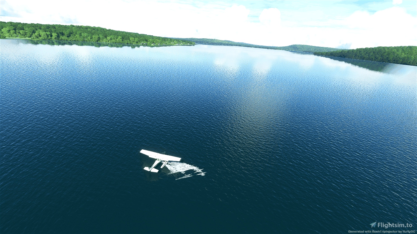
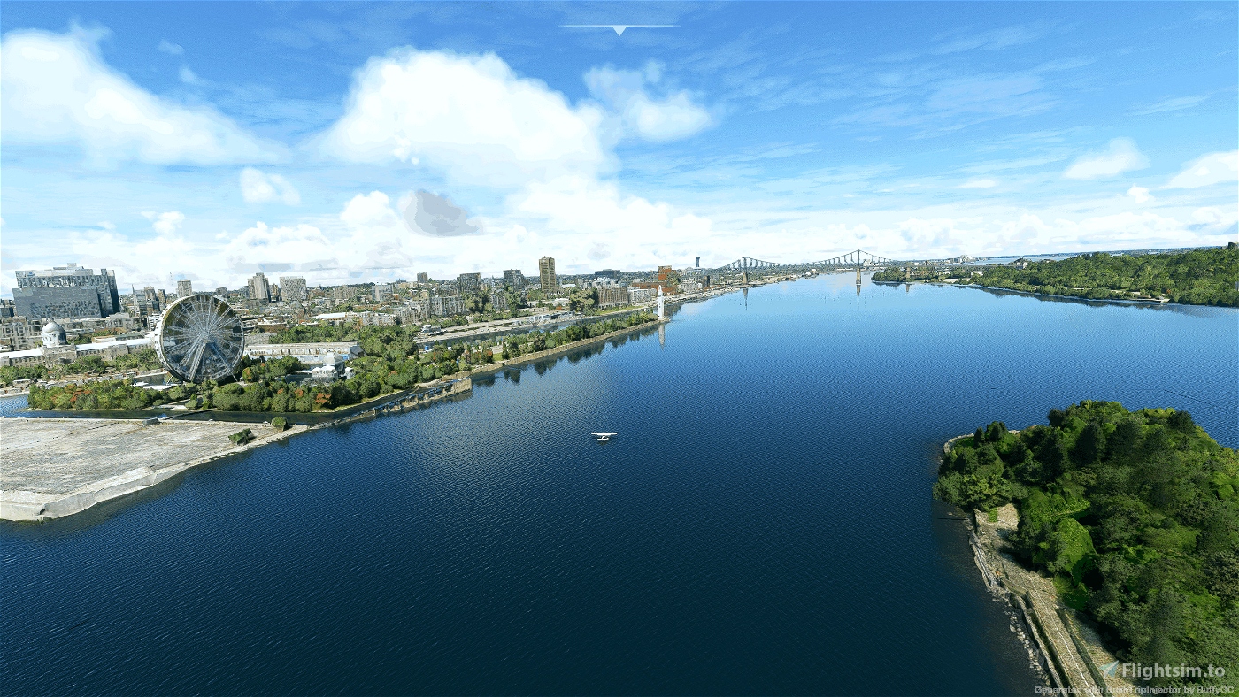
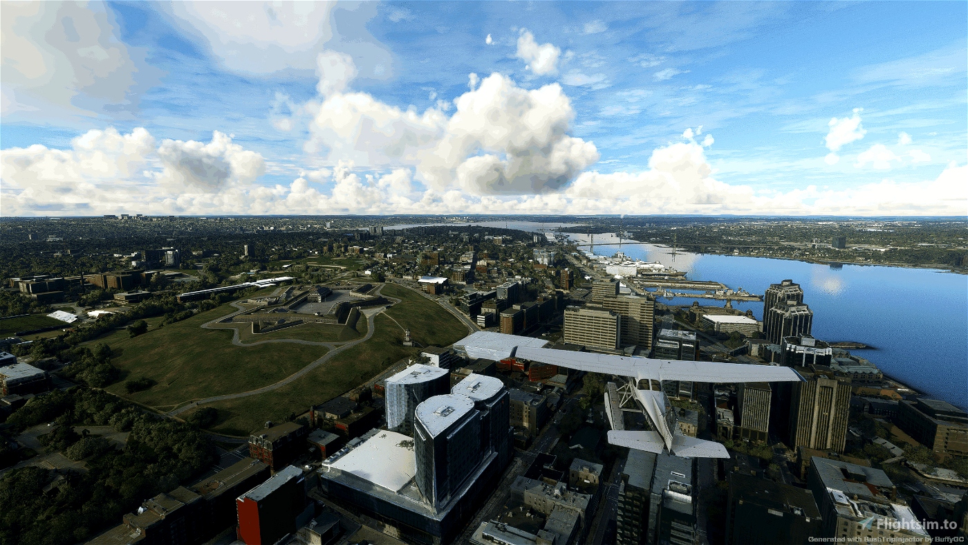
Welcome to Nova Scotia. My first time in this area. I wanted to explore the lakes and rivers here using a float plane and went on this wandering Watery Trip round Eastern Canada with excursions into USA. I provide two flights, one using the Cessna Skyhawk G1000 Float plane, and another using the DHC Beaver floatplane. We visit 31 airports of which 22 are water parks. When Landing on a water park there are no runway markers, however I have provided information to help you find the runway. You can also check your position using Little Nav Map to ensure you find the runway to trigger the leg end. Use your water rudder (ctrl+w) to assist turning on the water. Ensure your speed is less than 10 knots when taxing to the runway.
The flight is 1434 nm long and may take 13 hrs 45 min in the Beaver and 12 hrs 22 mins in the Cessna. (I found the Cessna slower though)
Autopilot in Nav Mode is useful. Pop out the MFD as a separate window to show the Map (Right Alt and LM click).
I have enabled Weather and ATC.
Included is a French version of the flight.
If you leave the flight and rejoin it later the flight plan will need to be reset.
> Click FPL on the MFD (if using the DHC Beaver click LM and hold the CRSR and RM click)
> turn the outer ring of FMS (CRSR) button to move the highlight to the next waypoint as set out in the Nav Log
> click MENU button
> Select Activate Log (move selection by using outer fms ring)
> click ENT
> Select Activate (move selection by using outer fms ring)
> click MENU button
> Click FPL on the MFD to close.
Don't forget to fill up on the way, you may have to take detours to find fuel. When using the Beaver you will have to switch tanks to avoid running out of fuel.
Apologies for any language or spelling errors. Hope you enjoy this trip. Make sure you keep your feet dry.
Installation:
Unpack the included folder from the package into the community folder. Restart the simulator.
Add-ons:
I'm sure there are addons that could be used but I didn't use any on this trip
Credits
As always, thanks to the excellent BushTripInjector by BUFFYGC - Thanks for fixing water landings.
And the super Littlenavmap by Alexander Barthel
and
Google
Wikipedia
https://www.atlasobscura.com/articles/the-worlds-largest-chair
https://www.ehcanadatravel.com/blog/2010/07/25/nova-scotia-eco-camping/
https://tourismnewbrunswick.ca/listing/cape-enrage
https://www.nrcm.org/explore-maine-map/deboullie-public-reserved-land/
https://umaine.edu/undiscoveredmaine/aroostook-county-maine/central-aroostook/portage-lake/
https://www.hookandbullet.com/fishing-grand-lake-seboeis-patten-me/
https://millinocket.org/
https://newengland.com/today/travel/maine/allagashlove/
https://www.resortsandlodges.com/lodging/usa/maine/katahdin/chesuncook-lake-house-cabins.html
https://www.alltrails.com/trail/us/maine/scopan-mountain?u=m
Written by BMJMOD
Bienvenue en Nouvelle-Écosse. Ma première fois dans ce domaine. Je voulais explorer les lacs et les rivières ici en hydravion et j'ai fait ce voyage aquatique errant dans l'est du Canada avec des excursions aux États-Unis. J'assure deux vols, l'un avec l'hydravion Cessna Skyhawk G1000 et l'autre avec l'hydravion DHC Beaver. Nous visitons 31 aéroports dont 22 parcs aquatiques. Lors de l'atterrissage sur un parc aquatique, il n'y a pas de marqueurs de piste, mais j'ai fourni des informations pour vous aider à trouver la piste. Vous pouvez également vérifier votre position à l'aide de Little Nav Map pour vous assurer de trouver la piste pour déclencher la fin de l'étape. Utilisez votre gouvernail à eau (ctrl + w) pour vous aider à ouvrir l'eau. Assurez-vous que votre vitesse est inférieure à 10 nœuds lorsque vous roulez vers la piste.
Le vol dure 1434 nm et peut durer 13 h 45 min dans le Beaver et 12 h 22 min dans le Cessna. (J'ai trouvé le Cessna plus lent cependant)
Le pilote automatique en mode Nav est utile. Ouvrez le MFD dans une fenêtre séparée pour afficher la carte (Alt droit et clic LM).
J'ai activé la météo et l'ATC.
Inclus est une version anglaise du vol.
Si vous quittez le vol et le rejoignez plus tard, le plan de vol devra être réinitialisé.
> Cliquez sur FPL sur le MFD (si vous utilisez le DHC Beaver, cliquez sur LM et maintenez les CRSR et RM enfoncés)
> tournez la bague extérieure du bouton FMS (CRSR) pour déplacer la surbrillance vers le waypoint suivant comme indiqué dans le journal de navigation
> cliquez sur le bouton MENU
> Sélectionnez Activer le journal (déplacer la sélection à l'aide de l'anneau fms externe)
> cliquez sur ORL
> Sélectionnez Activer (déplacer la sélection à l'aide de l'anneau externe fms)
> cliquez sur le bouton MENU
> Cliquez sur FPL sur le MFD pour fermer.
N'oubliez pas de faire le plein en cours de route, vous devrez peut-être faire des détours pour trouver du carburant. Lorsque vous utilisez le Beaver, vous devrez changer de réservoir pour éviter de manquer de carburant.
Toutes mes excuses pour les fautes de langue ou d'orthographe. J'espère que vous apprécierez ce voyage. Assurez-vous de garder vos pieds au sec.
Installation:
Décompressez le dossier inclus du package dans le dossier de la communauté. Redémarrez le simulateur.
Suppléments :
Je suis sûr qu'il y a des addons qui pourraient être utilisés mais je n'en ai utilisé aucun lors de ce voyage
Crédits
Comme toujours, merci à l'excellent BushTripInjector de BUFFYGC - Merci d'avoir réparé les atterrissages d'eau.
Et la super Littlenavmap d'Alexander Barthel
et
Google
Wikipédia
https://www.atlasobscura.com/articles/the-worlds-largest-chair
https://www.ehcanadatravel.com/blog/2010/07/25/nova-scotia-eco-camping/
https://tourismnewbrunswick.ca/listing/cape-enrage
https://www.nrcm.org/explore-maine-map/deboullie-public-reserved-land/
https://umaine.edu/undiscoveredmaine/aroostook-county-maine/central-aroostook/portage-lake/
https://www.hookandbullet.com/fishing-grand-lake-seboeis-patten-me/
https://millinocket.org/
https://newengland.com/today/travel/maine/allagashlove/
https://www.resortsandlodges.com/lodging/usa/maine/katahdin/chesuncook-lake-house-cabins.html
https://www.alltrails.com/trail/us/maine/scopan-mountain?u=m
Écrit par BMJMOD
v1 2023-01-05

 bmjmod


5 months ago
alregina
Well that was a little bit of a challenge . Was about to give up and say the hell with it a number of times , but I did stick with it . Not really complaining but I must say , trying to find some of those runways without the aid of the cones was a little bit of a PITA
1 years ago
Agree. I wanted the landings to look natural. Didn't want cones lights decorating the water. There are two ways to find the runway trigger points - use the Dashboard map in the MFD to find the airport location and estimate distance/direction from that or use Little Nav Map to track location and see where the runways are. There is a third cheat which is to install the Developers SDK and go into developer mode and see all the trigger points. But taxying round seemed to work for me. Hope it didn't spoil the fun.
1 years ago
bmjmod
sparky147
Sorry . I meant CCA2. Finally found it. Went to world map to see exactly where it is.
Problem is . In the trip the point on the VFR map . And on the MDF map the point is about a 1/2 mile out. Why would that be?
1 years ago
That one was a little strange. I build the trips using Little Nav Map which has been reasonably accurate as to location of runways. This one, CCA2 (New Germany Seaplane Base), I see the co-ordinates are listed to two decimal places, whereas other airports are five decimal places. I guess this was enough to shift the location. As there are other users of Little Nav Map I didn't want to change it which is why I put instructions to find the runway in the NavLog. Its a shame FS2020 couldn't get the water levels right though. Glad you found the runway.
1 years ago
bmjmod
sparky147
Beautiful tour, thanks.
1 years ago
fStopper
I was doing ok till I got to CCA3. Are you quite sure about this one? As far as I can tell it looks to be in a little river . If so why would they put it there .? when there are a couple of little lakes about a 1/2 a mile away .
If IT IS in the river, I think I'll have to forgo this one.
1 years ago
sparky147