This is the iconic Hump air route. The Japanese Empire had conquered much of China, including the entire coastline, the Allies had to supply China indirectly during WWII. While the Chinese government was able to relocate to Chongqing in the west, it required a supply line for its military in order to prevent a total Japanese victory. Following the fall of Burma in mid-1942, the only option was to fly from eastern India to western China via the Himalayas.
The supplied tonnage during the first year of operations was a minor trickle, starting in mid-1942 with just 10 "borrowed" Pan American DC-3s and growing over the coming months with the addition of several pilots and aircraft. The Eastern Himalayan Uplift, sometimes known as "The Hump," became more challenging 500-mile routes north due to the threat of Japanese fighters.
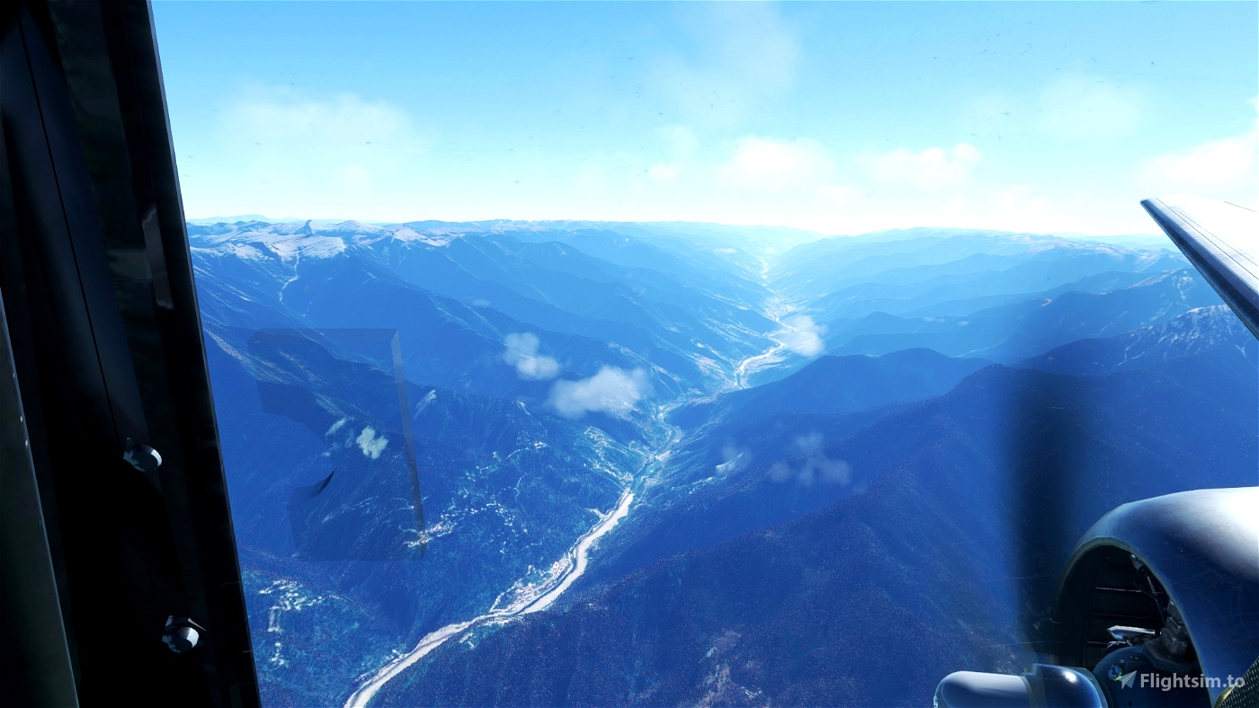
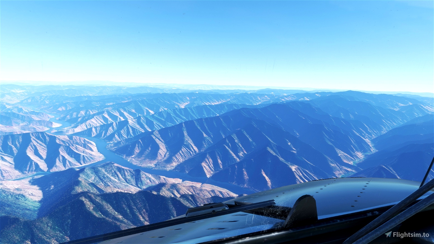
The rugged terrain prevented safe emergency landings and eliminated the possibility of rescue operations, forcing high altitude operations at equipment limits. The weather could also be extremely hazardous for much of the year as warm moist air from the Indian Ocean met cold dry air from Siberia, resulting in extreme lows and highs as well as violent winds that hit mountain ranges and created terrifying updrafts and downdrafts that sent aeroplanes flying up and down at thousands of feet per minute. There was intense turbulence and a dense cloud mass. Unexpected thunderstorms developed, obliterated the vision, caused icing, and prompted pilots to fly into the mountain tops. "Cumulo-granite" is the term.
We will fly a "typical" trip over the Hump, taking the "Able" route over the higher terrain to the north, as a way to pay tribute to the men of the India-China Division airlift. When Tunner became command of the India-China Division in 1944, he flew a three-hour journey from Chabua to Kunming using the "next available plane." We'll take a similar path.
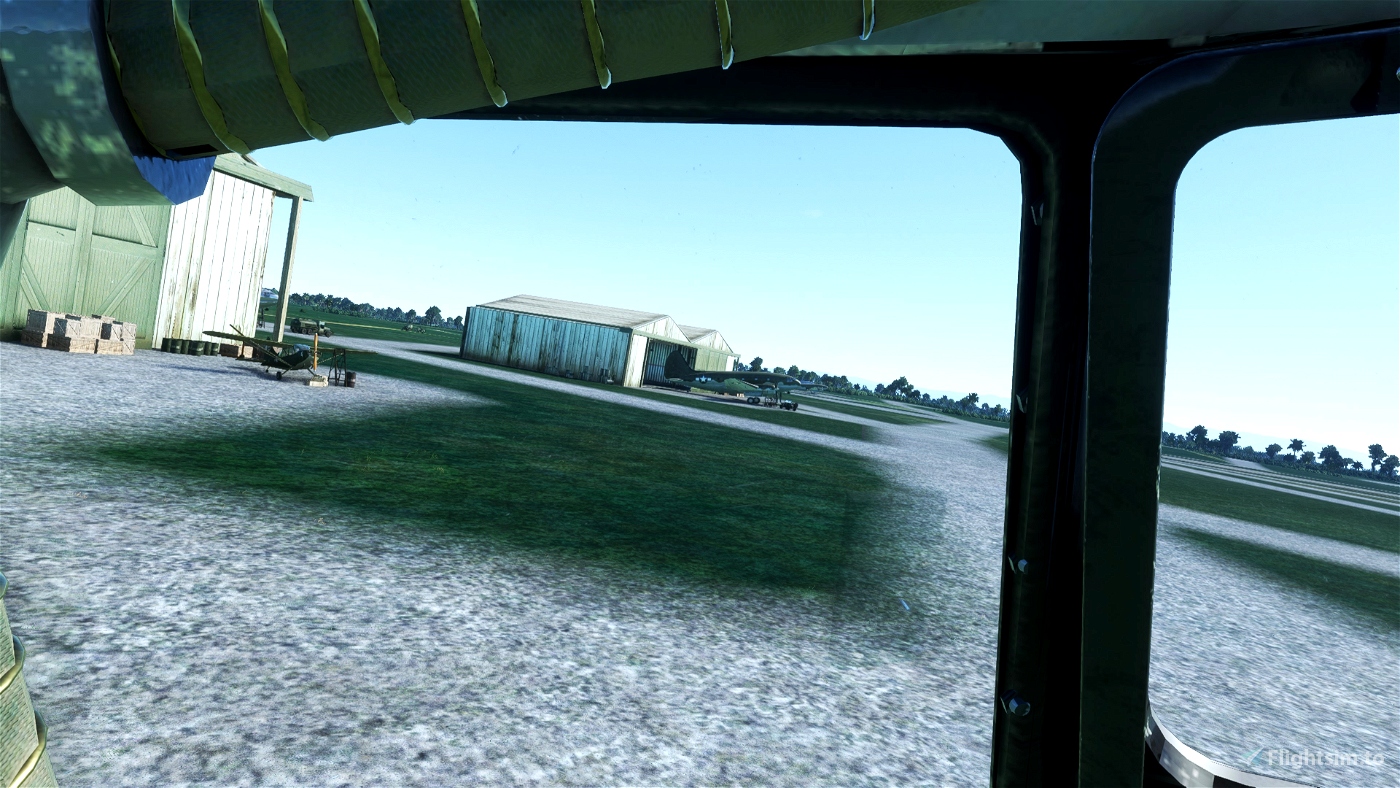
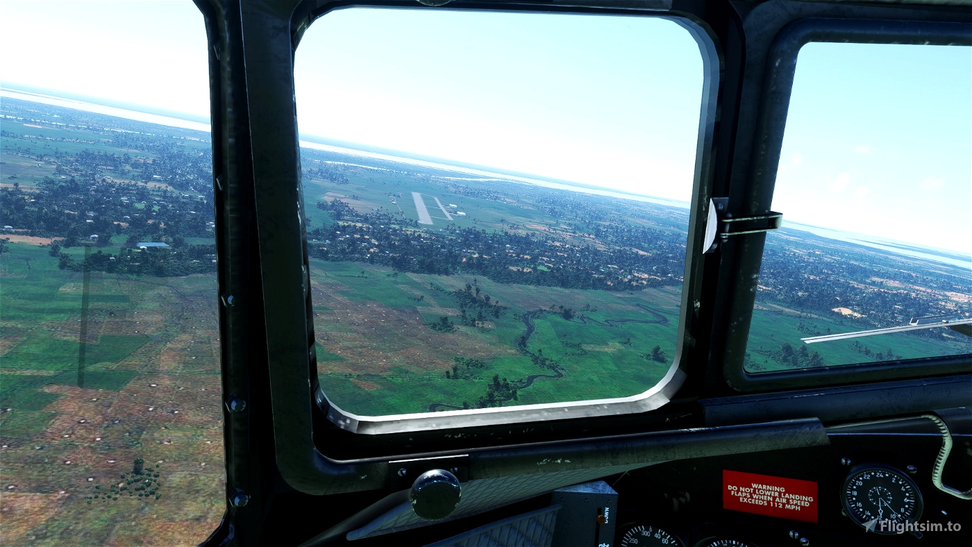
At Chabua [VG], one of the major Flight Transport Command air stations in the Brahmaputra Valley, we start in India. We turn at the Sadya [OR] NDB and continue along the river before flying over the Patkai Range to arrive at Fort Hertz [DH]. In British Burma in the 1920s, a small outpost named Fort Hertz was built in a lonely area. In the end, a British commando group constructed an airfield for emergency landings after being airdropped into the bush, taking control of the abandoned facility.
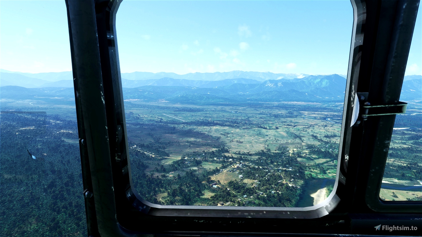
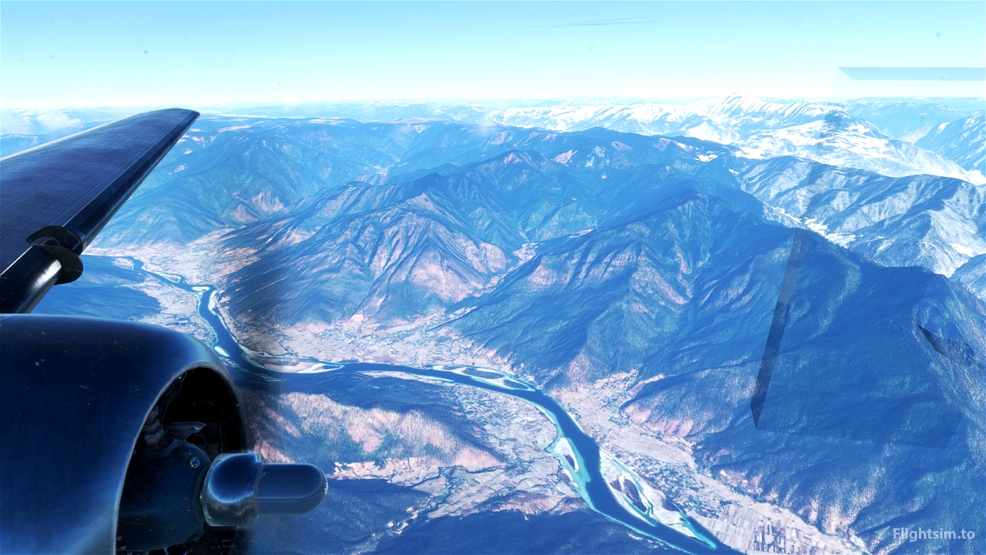
We pass through the Kumon Mountains and the gorge of the Irrawaddy River [IRWDY] as we travel east. Then, on to the Santsung Range and the concurrent Salween River (SALW) and Mekong River (MKONG) steep valleys, we enter into China. The historic city of Lijiang and Likiang [DM] are soon to be reached by us. As a refuelling station and emergency field, this airfield was constructed. It started serving as an operational airbase for military transit within China in the final year of the war. The tall Jade Dragon Snow Mountain and the vast Yulong massif are seen to the north. (At 18,360 feet, is its tallest mountain in the area.) The Yangtze River, the third-longest in the world, will be crossed three times by us as we fly into and out of Lijiang.
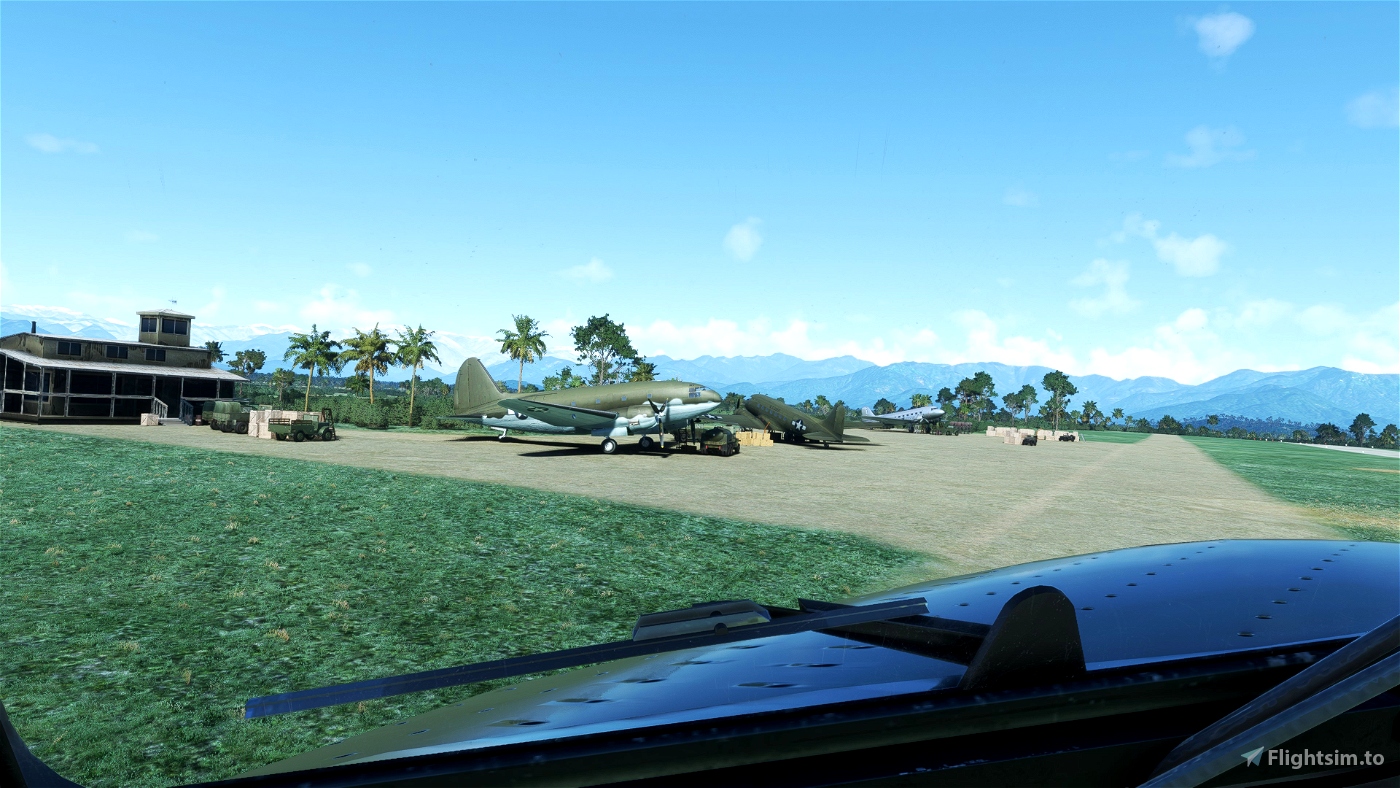
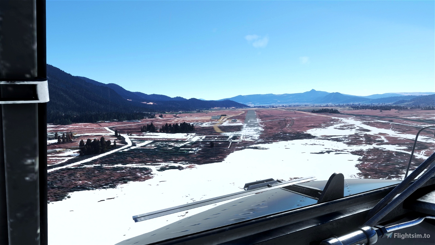
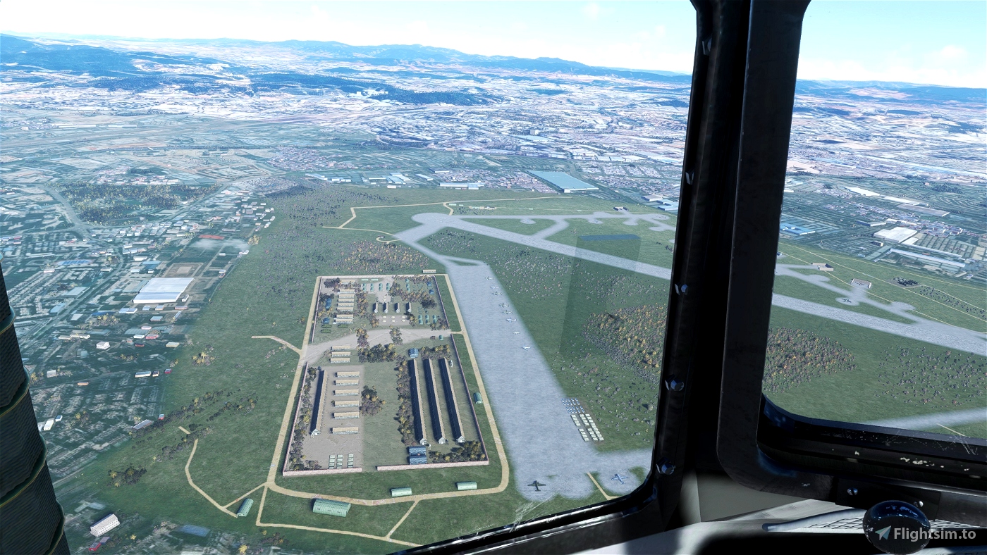
The terrain begins to shrink as you fly toward the southeast, enabling you to fly at a somewhat lower altitude. We arrive in Kunming [RO], a busy American transport base. Both at the load stations off the main runway and on the flightline, there is a lot of activity to be seen. In addition to its function in the supply chain, Kunming served as the headquarters for the 14th Air Force for the duration of the war as well as Chennault's Flying Tigers in 1942.
I would suggest that you get this scenery for authenticity https://flightsim.to/file/43587/flying-the-hump
Time to take that DC3 out of the hanger pilot!

 flightsimtoday

