
Welcome to the New Zealand's incredible West Coast!
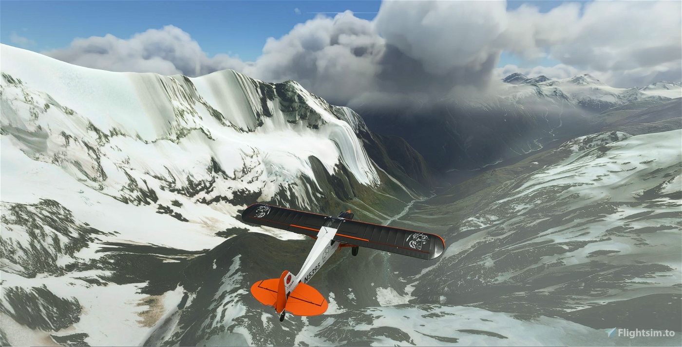
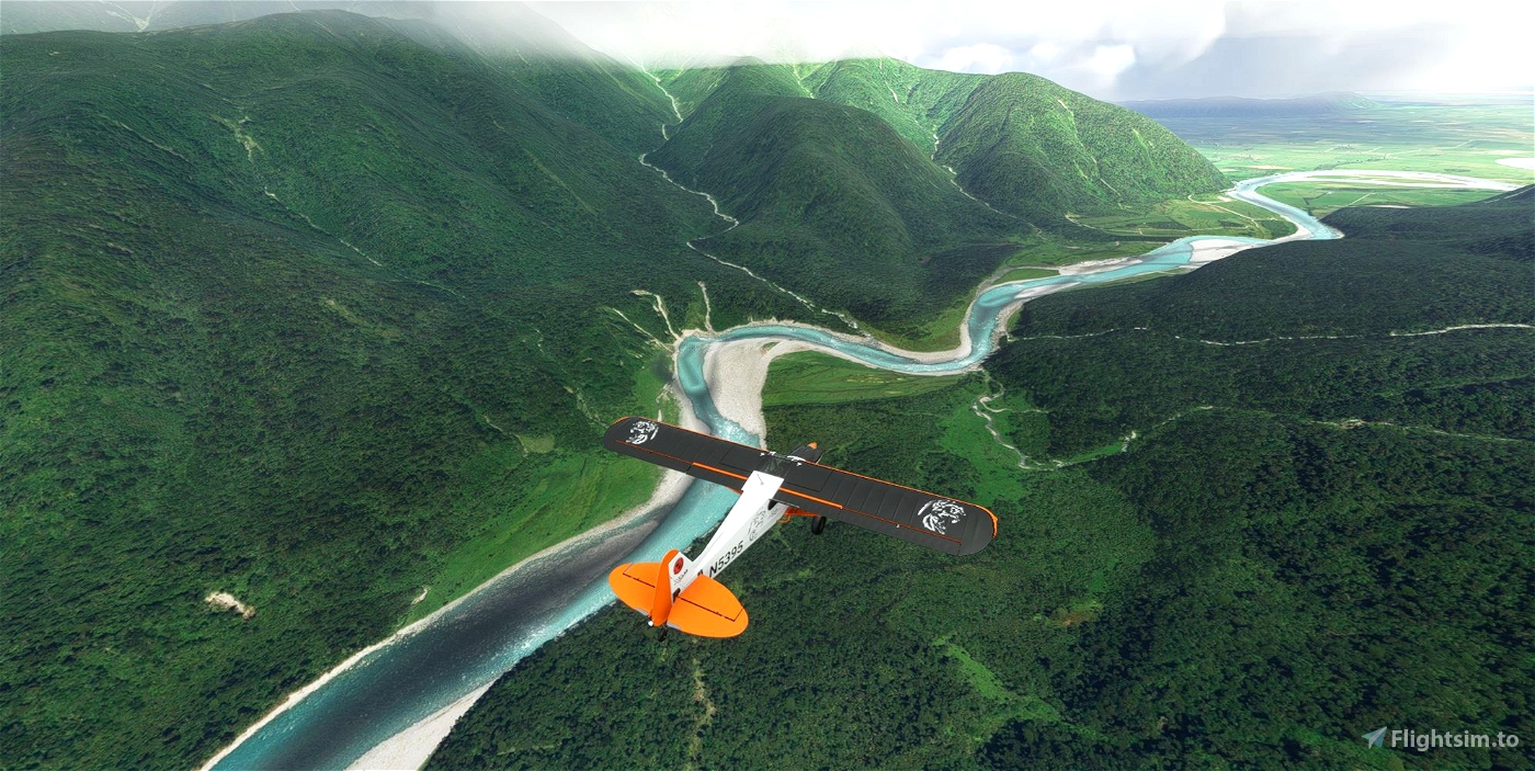
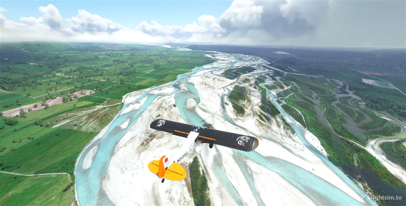
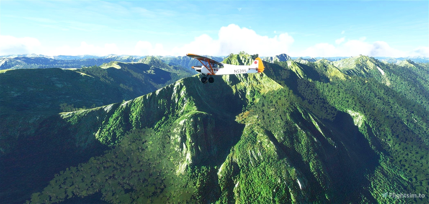
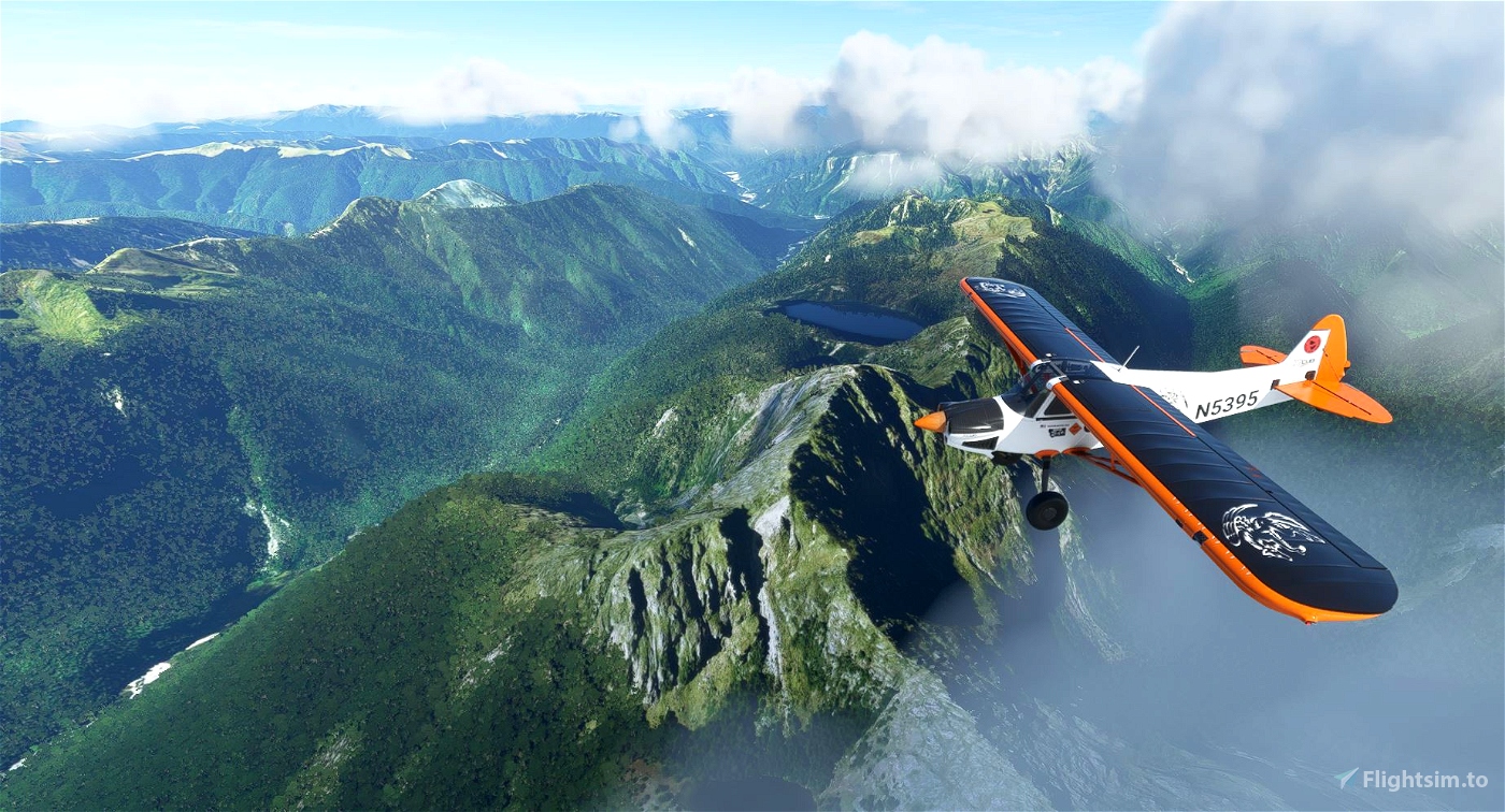
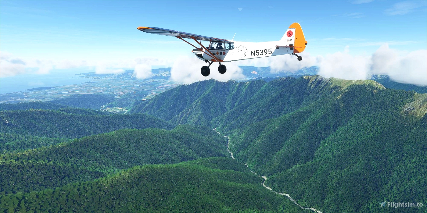
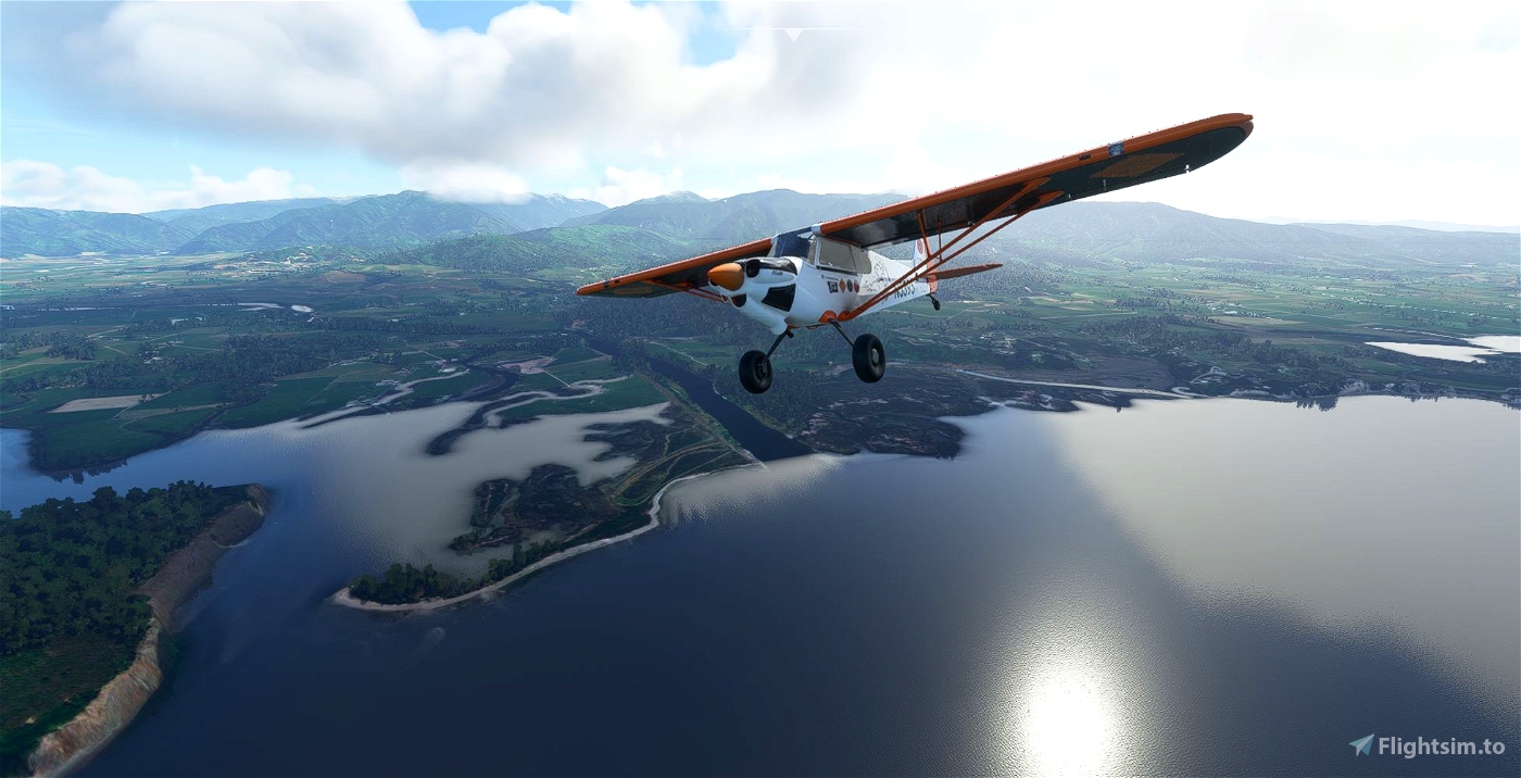
You're about to witness some of the most beautiful and diverse scenery in the world! This bush-trip starts out with the most spectacular First Leg of any bush-trip, departing from Tekapo Airport, flying the length of Lake Tekapo, up the picturesque Godley River to glacial lakes and a snow-covered high-mountain pass. Next you'll descend into the Perth River valley and out into the Whataroa River basin on your way to land at Hokitika Airport along the coast!! Unbelievably diverse and beautiful scenery in just the first 100nm! WOAH!
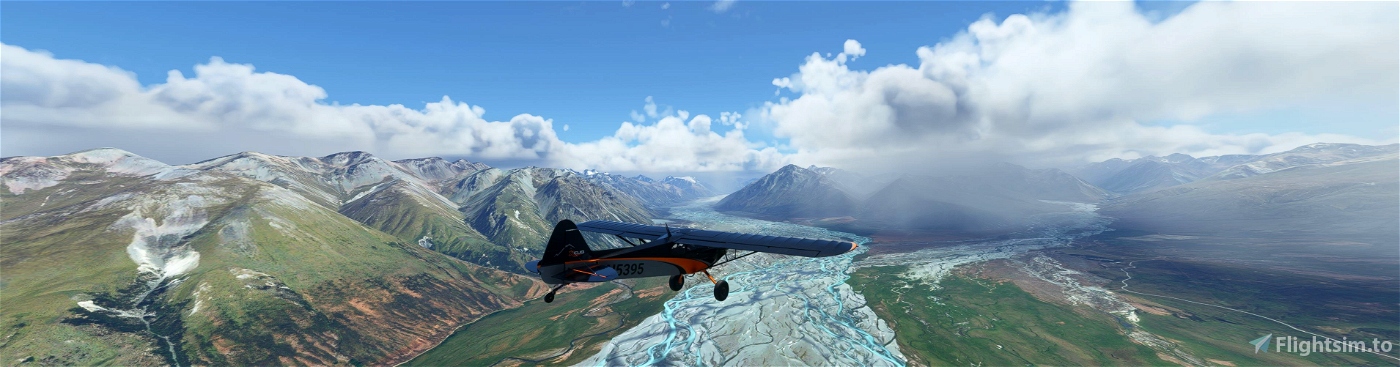
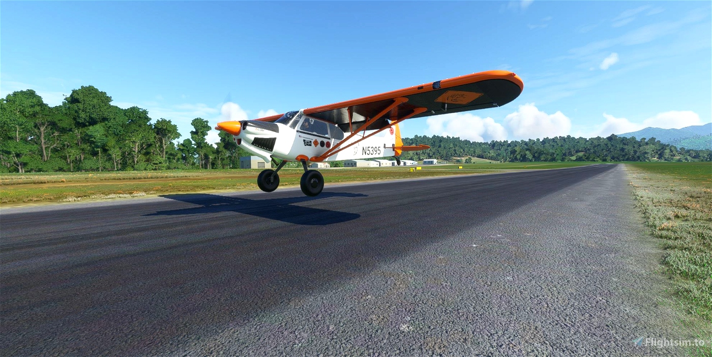
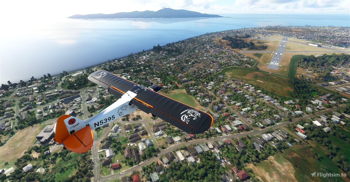
This epic 447nm, 6-leg route will take you through 7 different airfields, including paved and grass surface runways. Departures are crisp and quick in the cool summer air of New Zealand. In flight, you'll see almost every biome New Zealand has to offer! Approaches will be over hills with obstructed views to landings, over residential areas, farming towns, and along coast lines! The diversity of scenery is nicely balanced by each airfield and it's unique approach and departure. Enjoy!
Recommended Supplemental Downloads, but are NOT required:
Bush League Legends - Enhanced XCub Performance MOD:
https://www.bushleaguelegends.com/addons/msfs/msfs-mods
Lake Tekapo Airport NZTL:
https://flightsim.to/file/1657/lake-tekapo-airport-nzlt-new-zealand-v1-0
NZA Simulations - NZWS & Westport Scenery Pack:
https://flightsim.to/file/2531/nza-simulations-nz-aus-mfs2020-discord-nzws-westport-scenery-pack-1-0
INSTALLATION:
Simply Unzip with WinZip or RAR and install the folder into your MSFS 'Community' folder.
THIS IS MY FIRST BUSH TRIP AND I PLAN TO MAKE MORE, SO PLEASE LET ME KNOW WHAT YOU THINK IN THE COMMENTS BELOW! - Thank you!
Reviews
Thanks for showing me the absolutely stunningly beautiful glacial country on South Island that I never knew existed. But after the first leg, some of the subsequent sublegs, particularly those at 30 mins long, were much less interesting. Few purely visual clues are given for navigation so I had to rely for the most part on the flightplan loaded into LittleNavMap. There is not much in the way of local information included. Having said that, I found that BushTalk Radio helpful for showing nearby points of interest with its local radio station facility adding atmosphere. I gave up after the oil pressure failure in leg 5. Keep up the good work!
3 years ago

The first part is the best without a doubt, the part of the coast for me, you could have made the tour inside the islands because they are beautiful, the last landing is complicated because there is no track (with visual it is difficult to see the piece of grass ) to continue improving my friend !!!!!
3 years ago
Being a Kiwi, it's a pretty good trip. There are things to improve and add. Sand dunes in the north island a bit further up and sort of things like that. The top of New Zealand can be put in the sort of another pack because it is quite far away, down south you have had some amazing choices, I don't know if it's in the game but in X Plane 11 I loved flying to Milford Sound airport because it was a very small runway strip so if you could make a part 2 with a few more options that would be great, All though it's not Bush trip like Wellington is famous for winds, Could be added as a stop somewhere. Just some more suggestions and keep up on the great work.
3 years ago

WOW! Just did the first leg. Best flight I've done in this sim so far.
3 years ago
Hmmm..... If I click on the supplemental downloads I get 404 not found error
3 years ago

Absolutely beautiful landscape. I have finished the three first legs now and will continue tomorrow. Thanks to the varying scenery it is quite easy to understand where you are on the map. Great work!
3 years ago
Comments
Pretty empty over here.

3 years ago
natshaw
450 nm, not 600+, unless I'm missing something.
3 years ago
The description says 447nm.
1 years ago
texdiogenes
newtestleper
3 years ago
aircan
3 years ago
3 years ago
texdiogenes
starflexthe2nd
3 years ago
3 years ago
texdiogenes
spas3man
3 years ago
3 years ago
texdiogenes
spas3man
3 years ago
3 years ago
texdiogenes
IvanRA
3 years ago
3 years ago
texdiogenes
horstling
3 years ago
3 years ago
texdiogenes
f99mlu