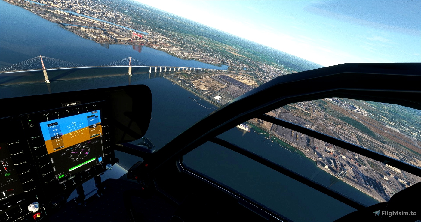
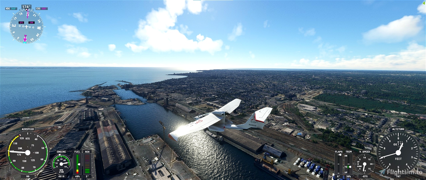
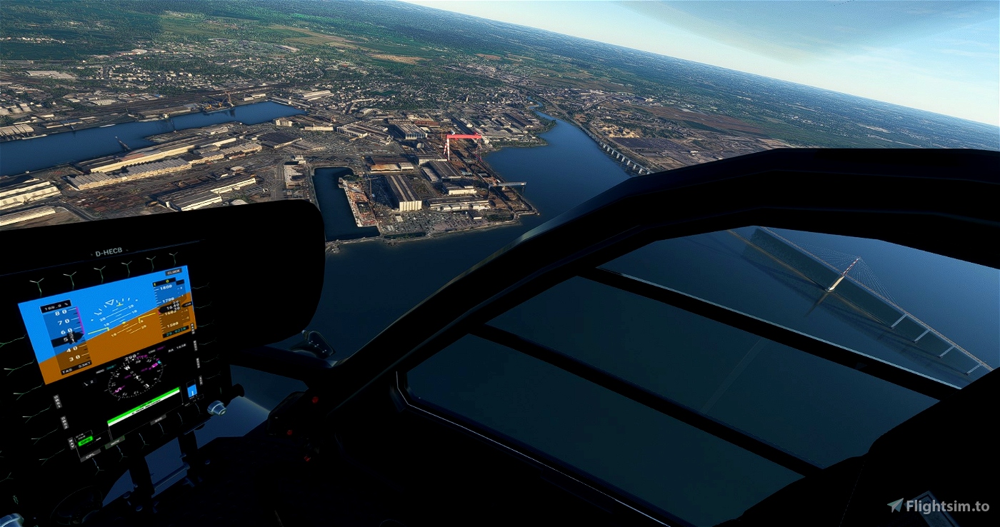
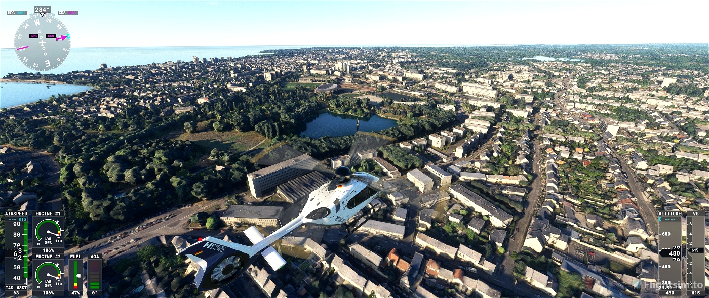
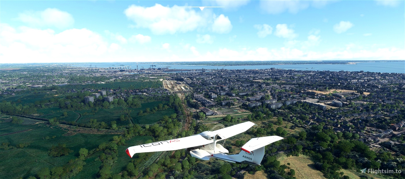
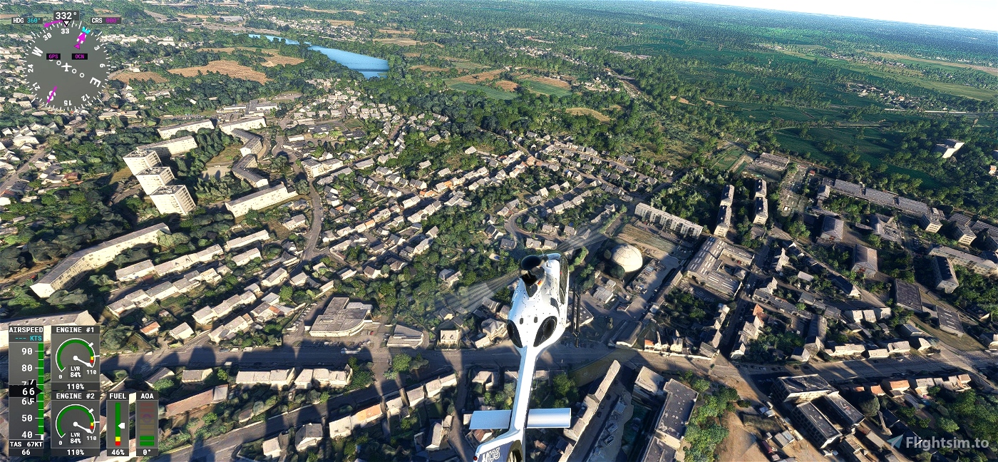
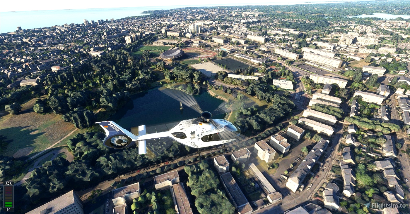
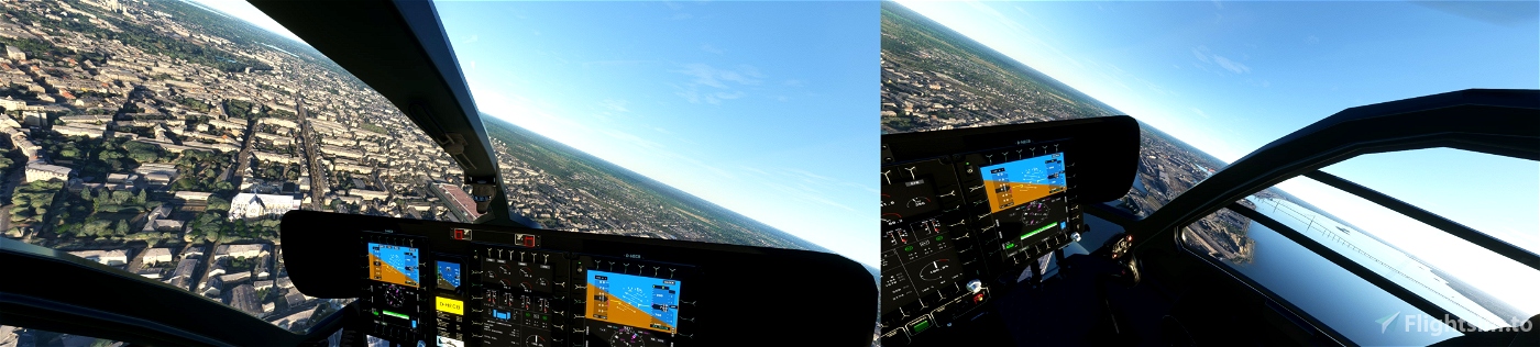
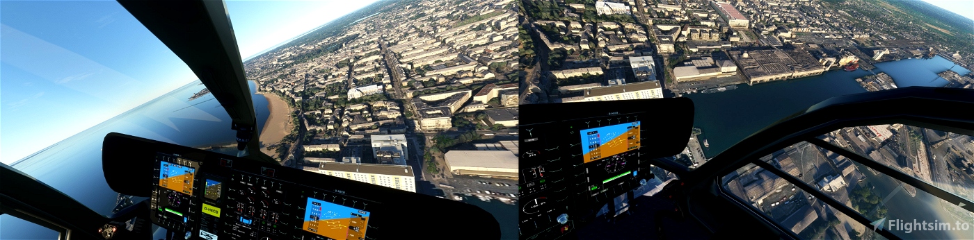
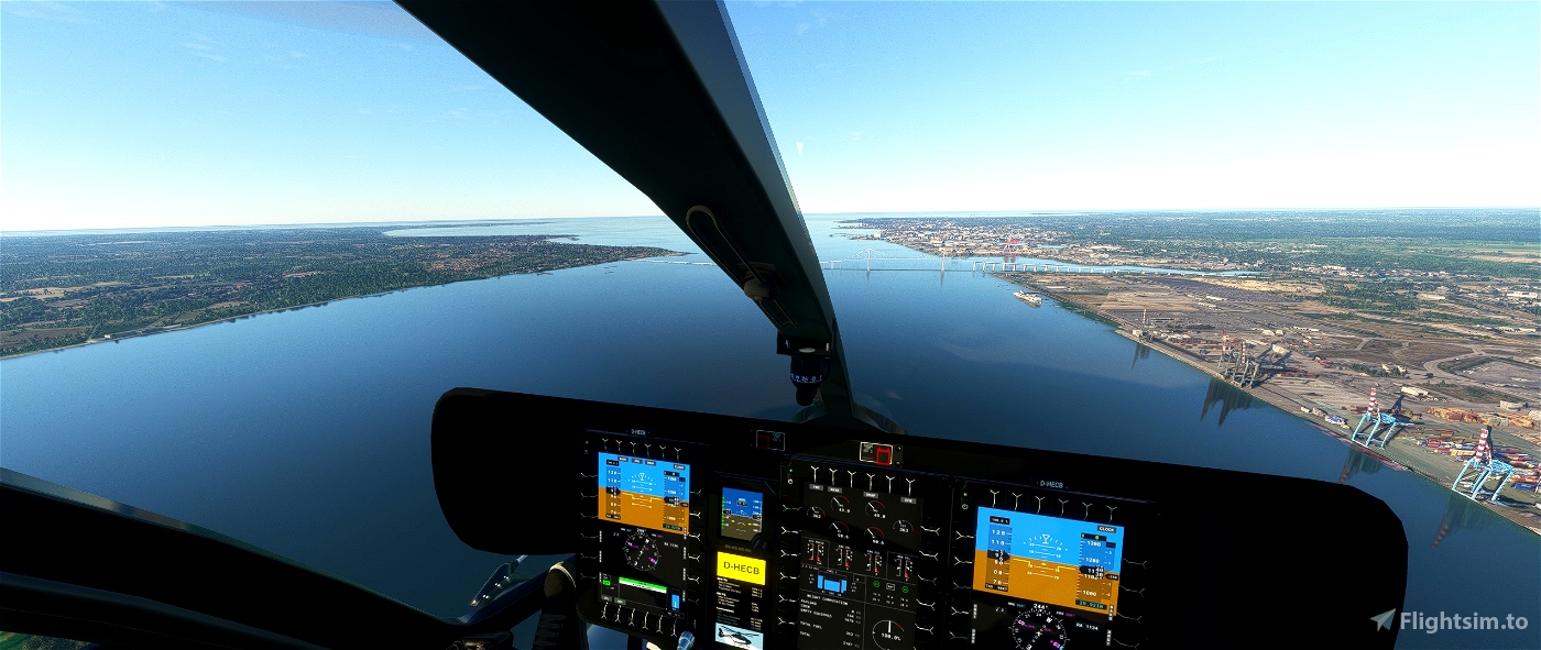
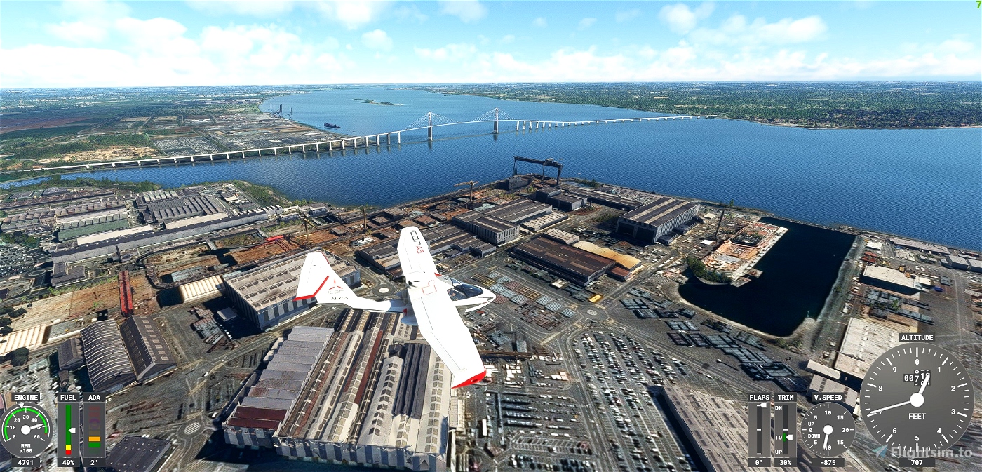
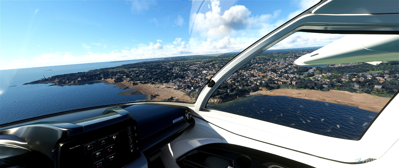
Saint-Nazaire is a commune in western France, capital of the district of the Loire-Atlantique department in the Pays de la Loire region. Historically the city is part of Brittany.
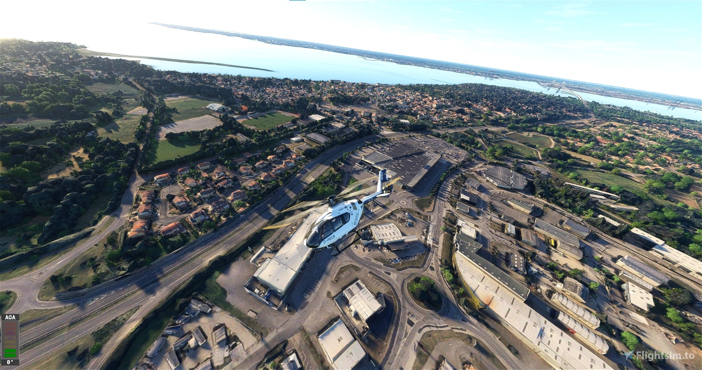
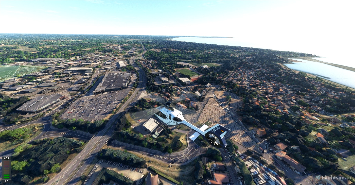
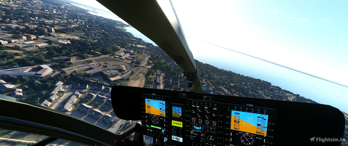
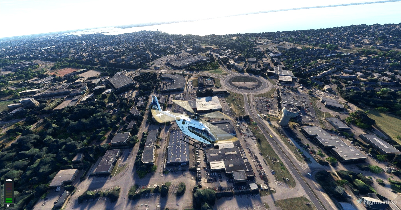
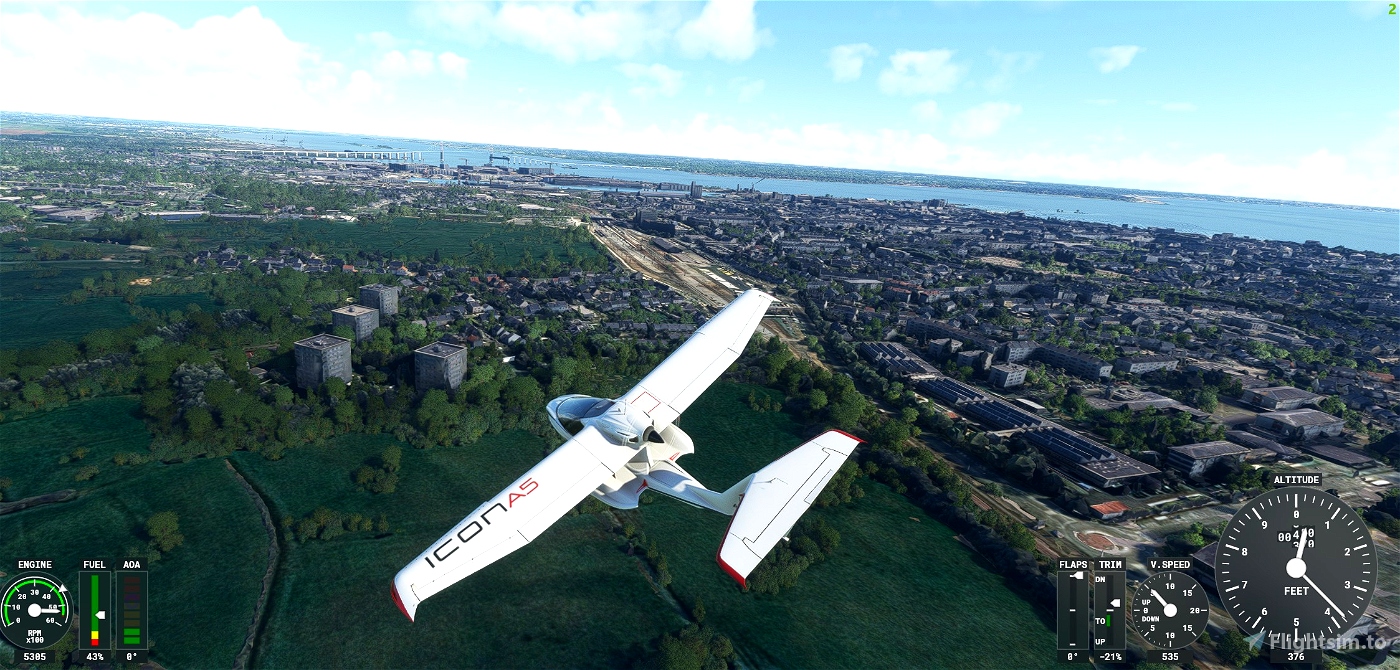
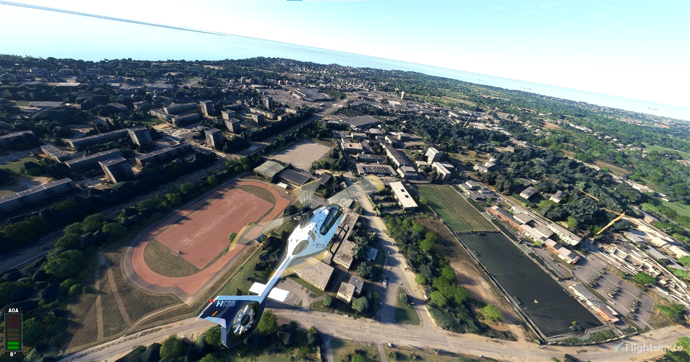
This map contains the cities of saint nazaire, pornichet to the tip of congrigoux, Trignac, the pond of the wood Joalland and saint Brevin les pins.
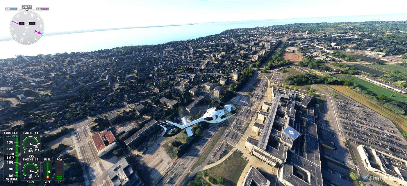
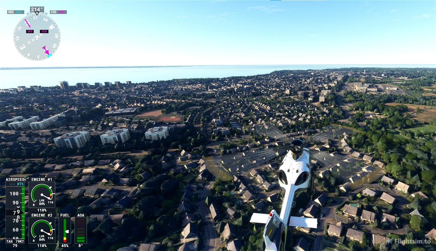
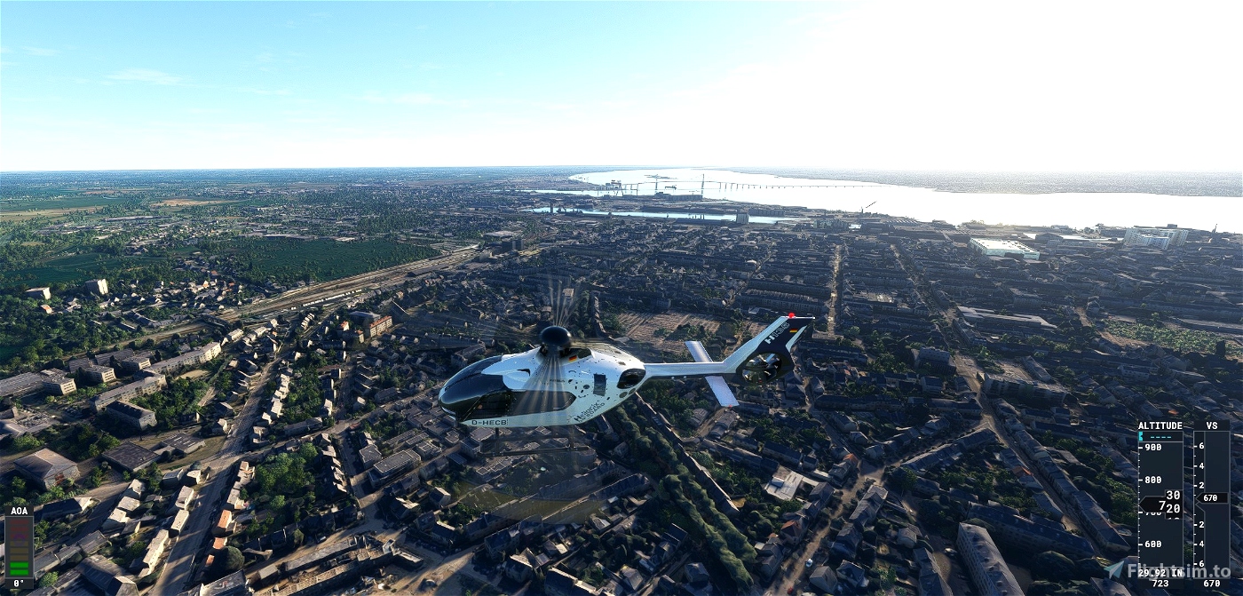
This mod is made using Earth2Msfs with a 17-19 LOD.
This mod was created from Google data and optimized using Thalixte scripts (Google Earth Decoder Optimization Tools (GEDOT) - Blender Addon) and this also use satte google maps update.
https://flightsim.to/file/39900/gogole-earth-decoder-update
Thanks to him.
Thanks also to Fred SAWAN for his Youtube tutorial importing 3D city from Google into MFS2020 : https://www.youtube.com/watch?v=STU86VOhU74.
Drop the .zip unzip folder in the community folder of FS2020.
this package is fully compatible with Richard1932 sets : Décor de Saint-Nazaire + Pornichet + La Baule (https://fr.flightsim.to/file/7084/eglise-de-saint-nazaire)
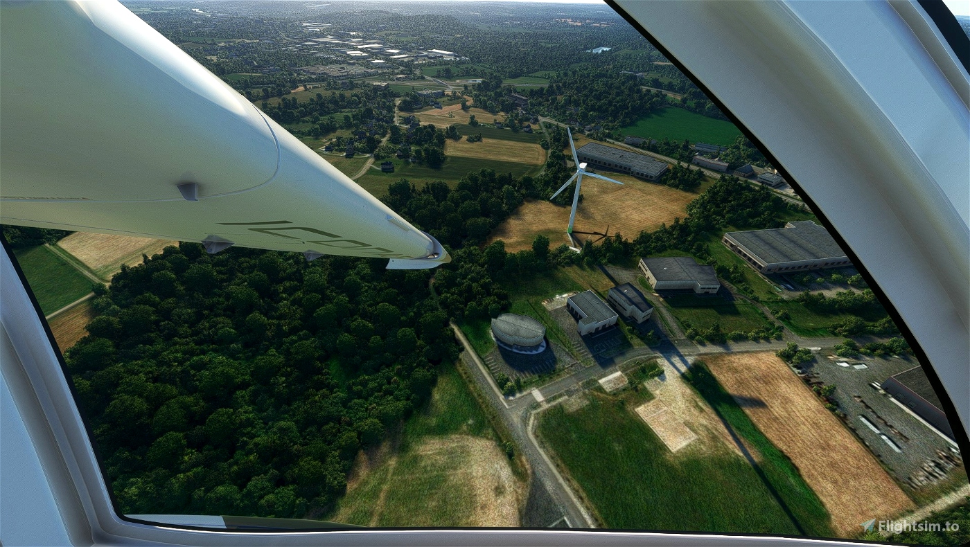
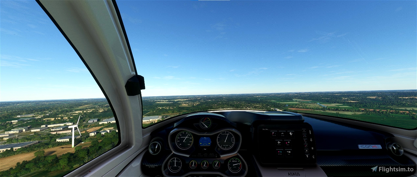
Version 2.1 : At the request of Max Lerouge, addition of a wind turbine near the town of Redon (60 km north of Saint Nazaire)

 Cyrill54


Bonjour et merci pour ce travail. Beaucoup de détails, mais problème de texture avec les arbres qui ressemblent à des gros tas gris foncé. Faut-il respecter des valeurs dans les graphismes ? Essayé avec et sans Google Map Enhancement... Mais bravo quand même. Cordialement. F-GMXP de LFRE
1 years ago
FGMXP
j'ai tenté de l'installer. mais le poids est trop lourd pour moi (5Go5 je crois). je retenterai.
2 years ago
lebreton
Le terminal méthanier est complètement vide et plat et il semble y avoir des problèmes de dalles dans ce secteur.
Un problème à ce niveau.
Sinon le reste semble OK.
2 years ago
C'est la faute à Google qui n'a pas intégré cette zone en 3D. Peut être que je redélimiterais cette zone plus tard pour que l'intelligence artificielle de FS ajoute du relief.
2 years ago
Cyrill54
Patrice35