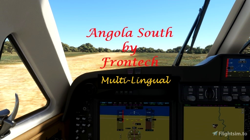
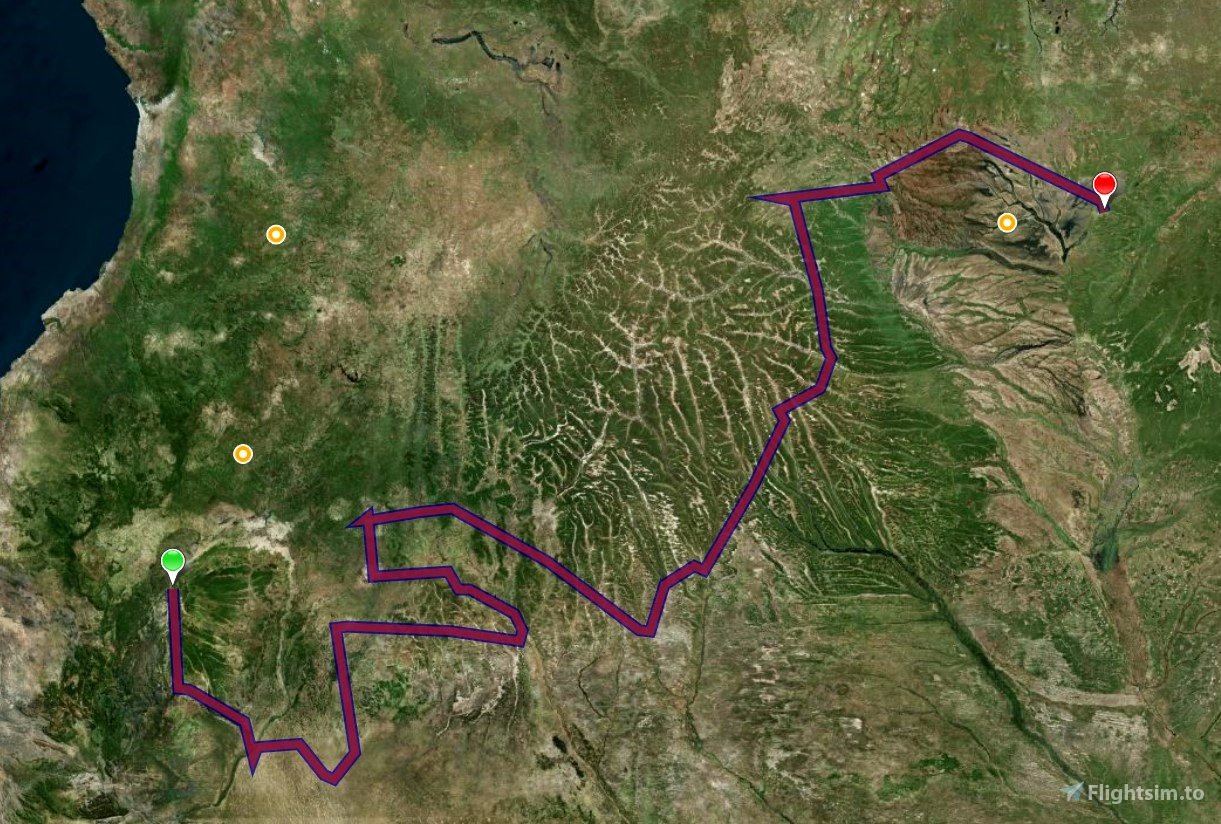

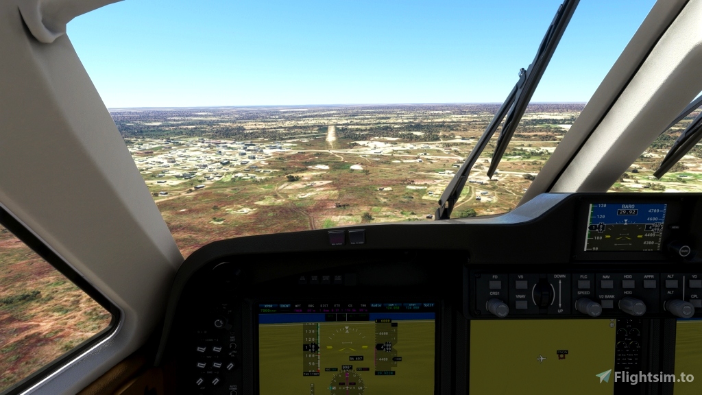
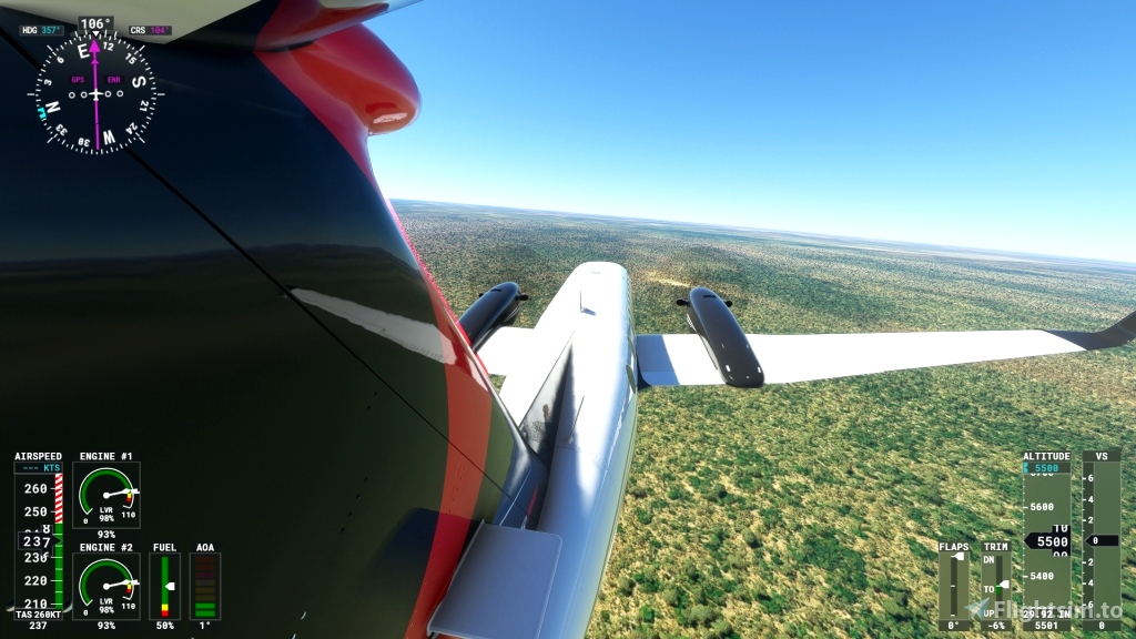
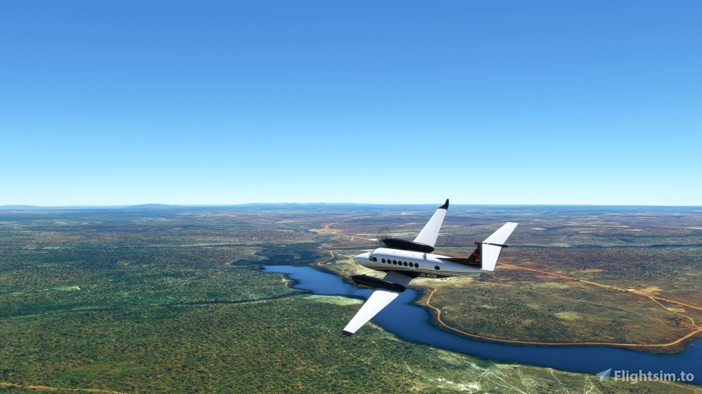
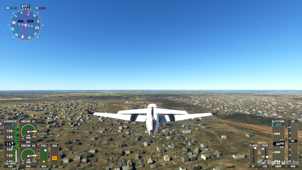
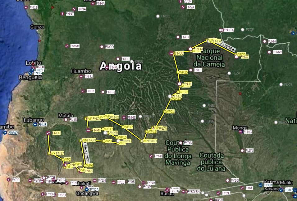
The fifth and last Bush Trip in the Angola series. This trip is one for pilots, 17 legs, 1164 NM. With the Beechcraft King Air 350i at cruise speed of 230 knots, the legs take between 15 to 30 minutes to fly. So, it is 16 times take-off, flying and landing. To make things easy, starting 6 NM before the runway, there is an approach line in the length of the runway.
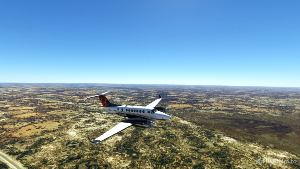
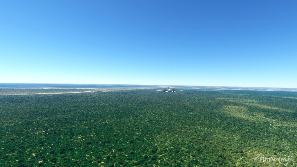
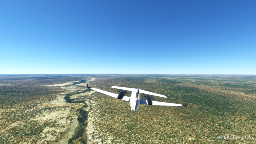
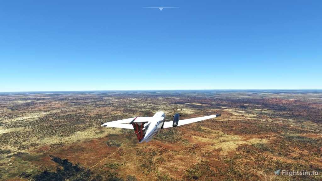
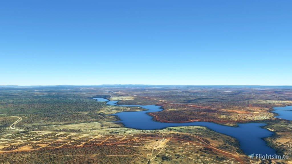
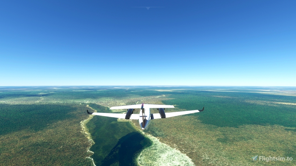
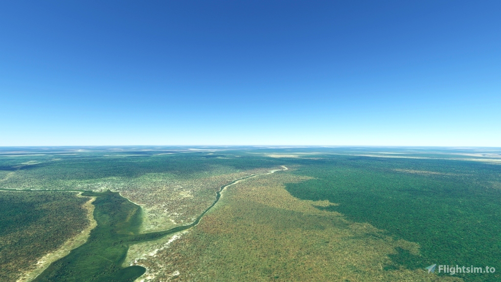
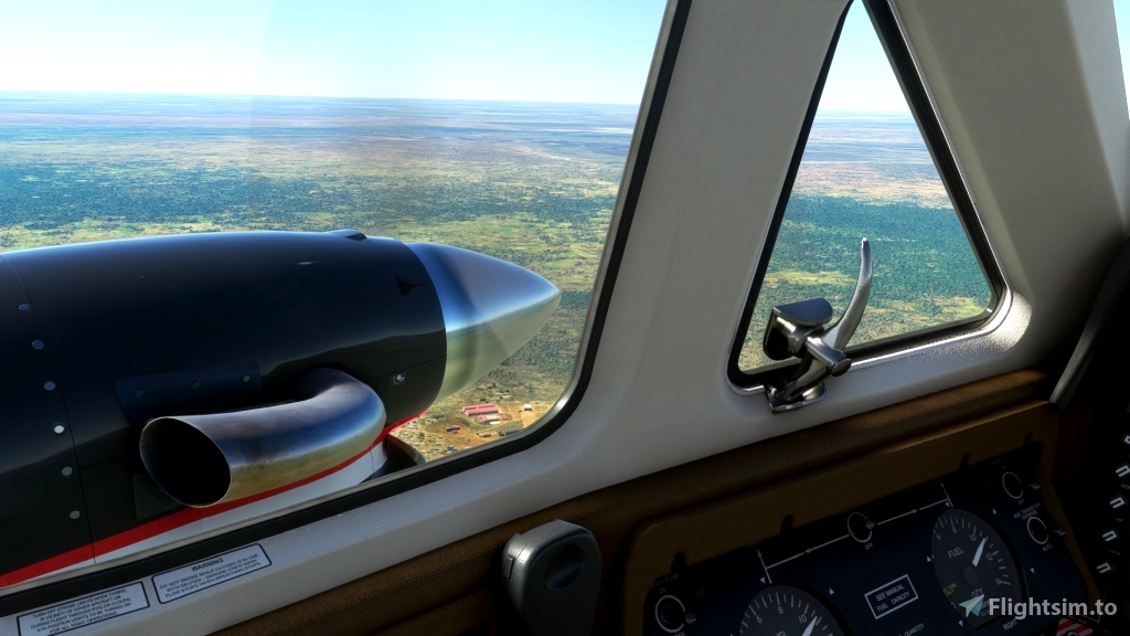
The terrain you are flying over is the Bié-plateau, which roughly is in the middle and south of Angola. Though it is in average 4000 to 5000 feet, it is not a mountainous environment. If you like sightseeing you have to look for the villages in the forests and woods.
The Bush Trip is Multi-Lingual, written in US-English and machine translated to the following languages: German, French, Spanish, Italian, Polish, Dutch, Finnish, Swedish, Portuguese and Norwegian.
GPS is available and loaded. You can set the Weather to your liking and at the airports providing services take in fuel.
Gjanosh61 has published the following Enhanced Terrain Mesh 12m for Angola. These files are not mandatory, but will enhance your experience.
Angola ETM12 Enhanced Terrain Mesh 12m vol_06 - BenguelaHuamboBié by Gjanosh61
Angola ETM12 Enhanced Terrain Mesh 12m vol_07 - Moxico by Gjanosh61
Angola ETM12 Enhanced Terrain Mesh 12m vol_08 - Benguela Namibe Huìla by Gjanosh61
The FlightBook is added and also the provide language files. The language files (.PAK) can be opened with Notepad of any basic text editor.
Thanks to Alexander Barthel for Little Navmap. Thanks to BuffyGC for BushTripInjector. Thanks to Gjanosh61 for the ETM add-ons.
Happy flying and safe landings.

 Frontech


Thanks for this bush trip, thanks for this visit of the South Angola. Just I finished the last leg.
I like to do Bush trip, but as a tourist I cannot keep a pleasant memory of this flight, there is no much to see over the South Angola... savanna, savanna and always savanna...
Chris
2 years ago
Hi Chris
It pleases me that you enjoyed this trip. I agree with you that from the point of a tourist it is a rather dull trip, with only savannah. I like the Angola west trip better. It starts at the coast and you have to climb to 10000 ft to have view on one of the world's most dangerous roads. Furthermore there are nice views flying on the edge of the Bié-plateau. https://flightsim.to/file/28105/angola-west try it.
Thanks and cu,
Frontech
2 years ago
Frontech
xiand