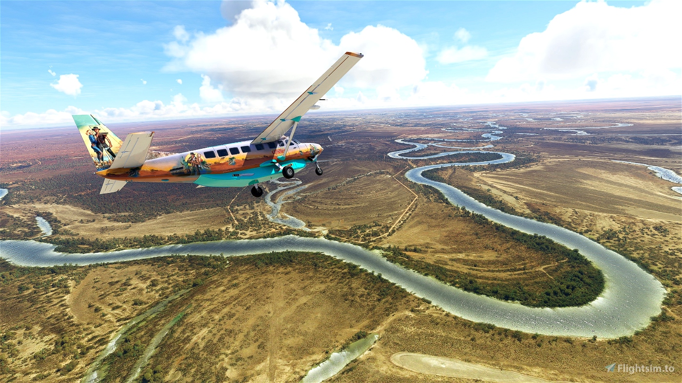

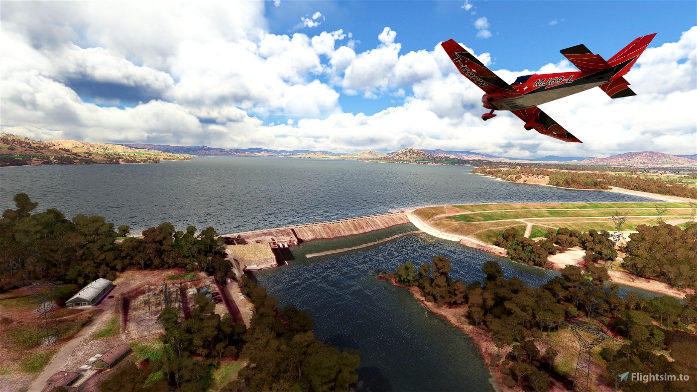
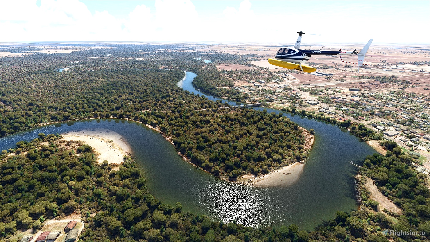

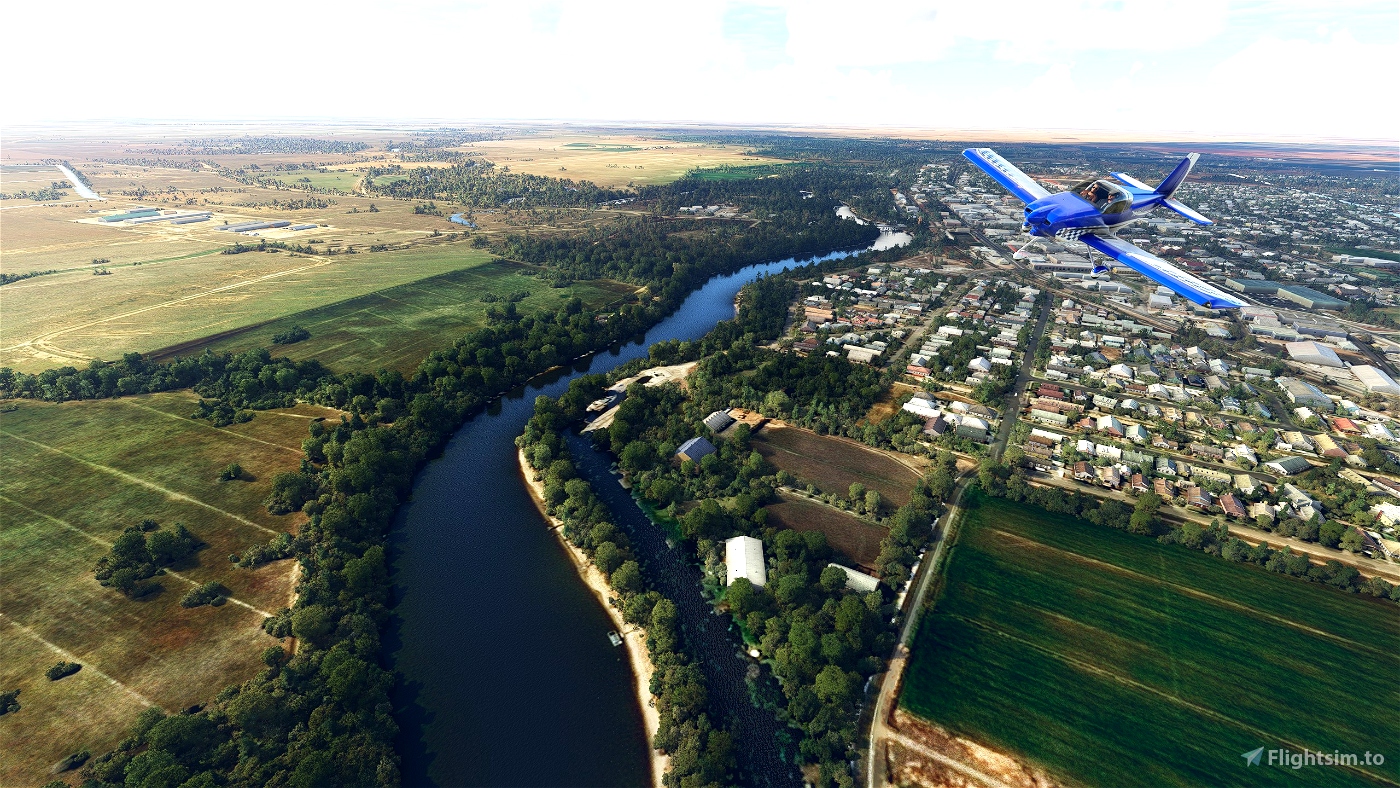
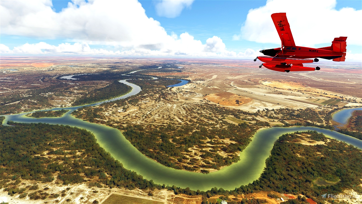


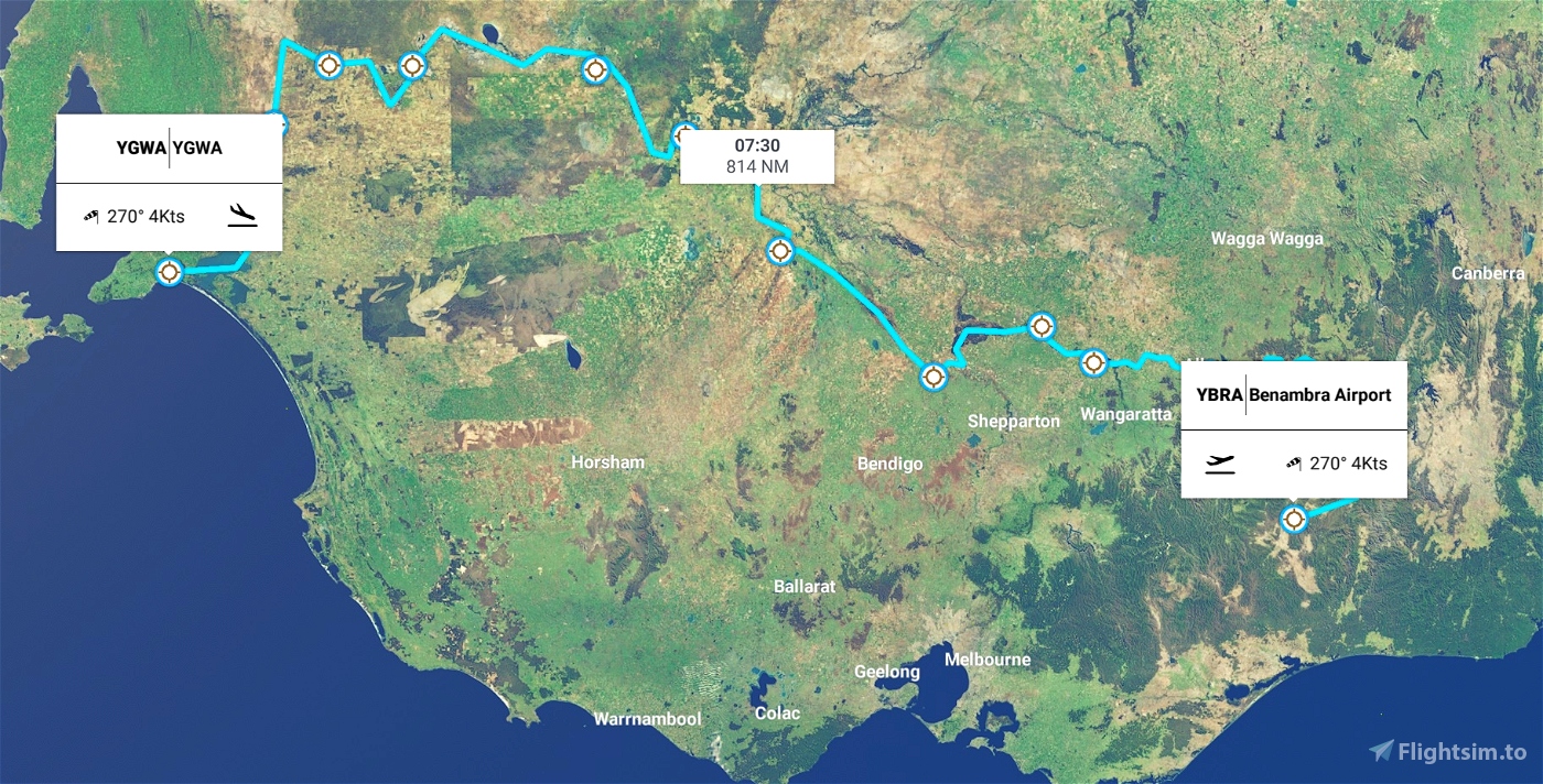
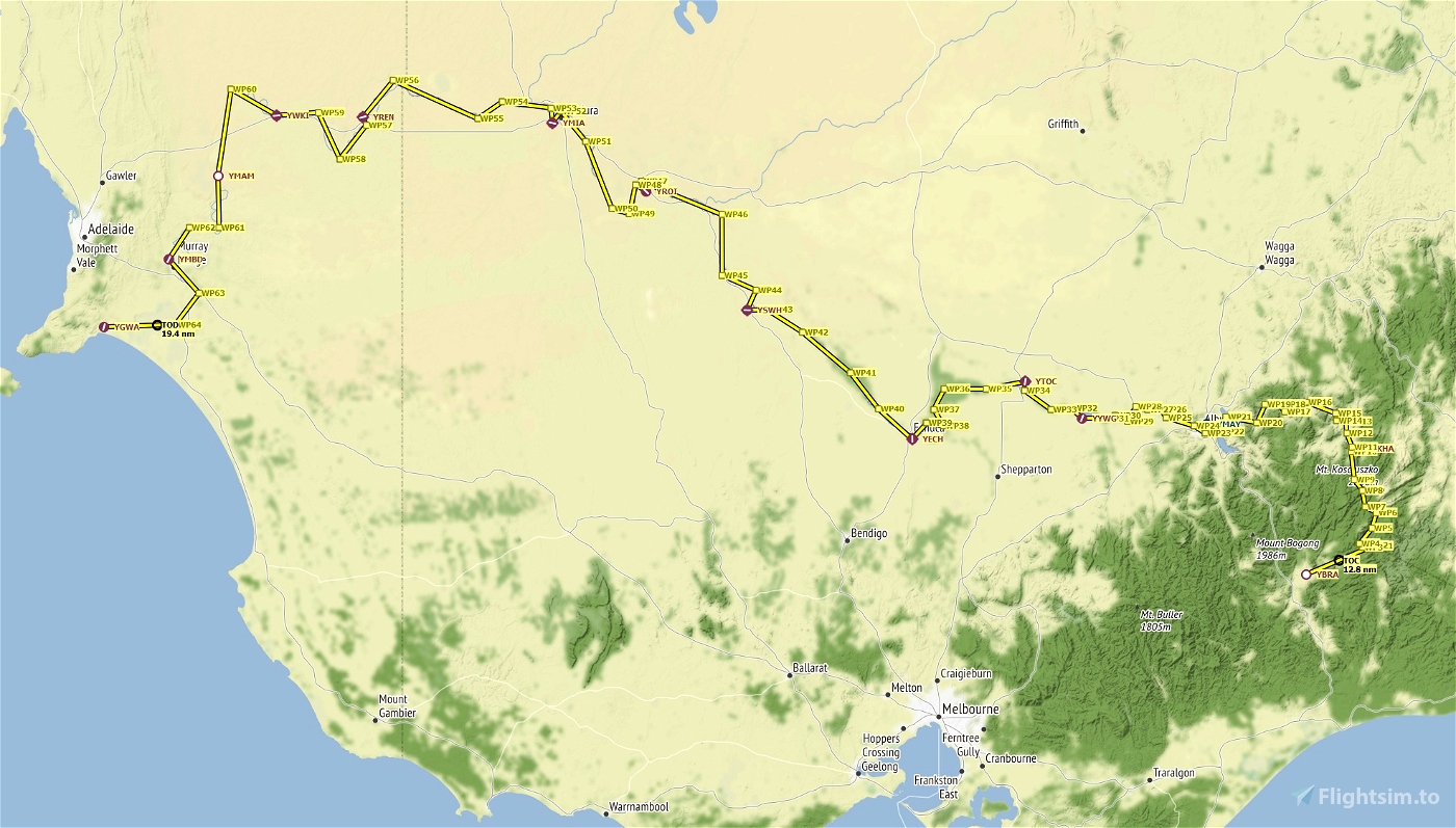
The Mighty Murray River - Track Australia's longest river through the stunning scenery of WU7
Rising in the Australian Alps, meandring north and west until flowing out into 'The Great Australian Bight'
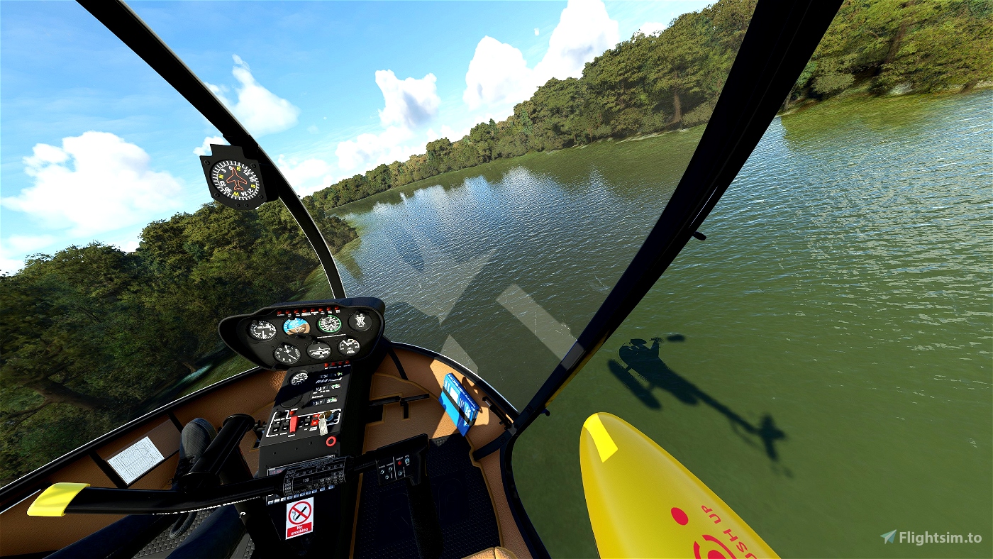
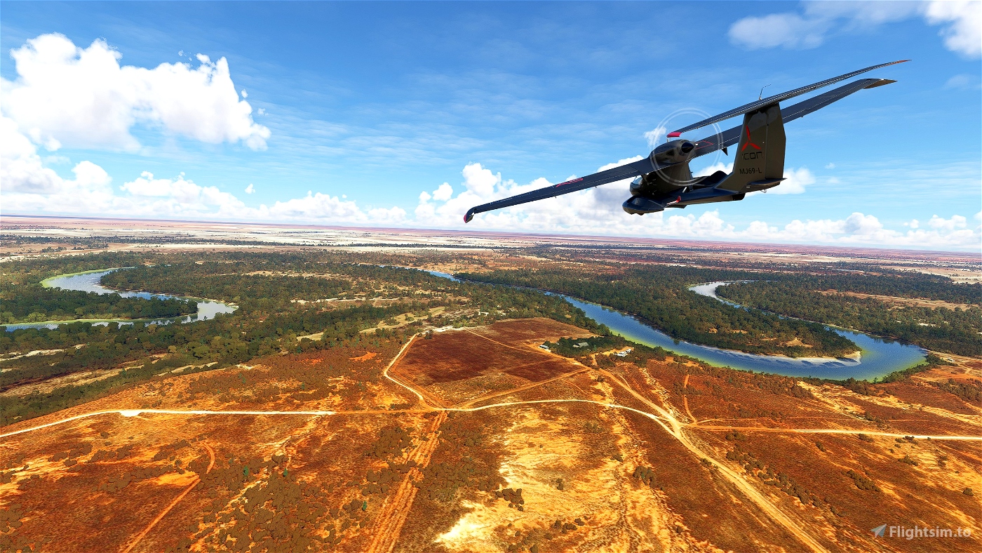
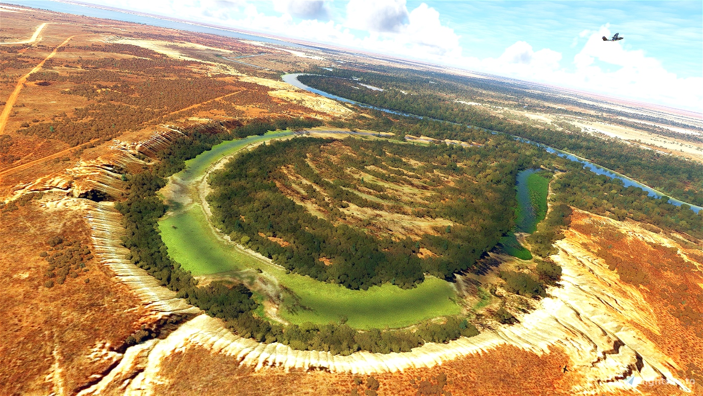
The flight will take you on a track through lush forests, rolling grasslands, wetlands and flood plains - finally reaching the shores Lake Alexandrina, south of Adelaide and then out into the open ocean
- 1570 miles of waterways to discover and explore
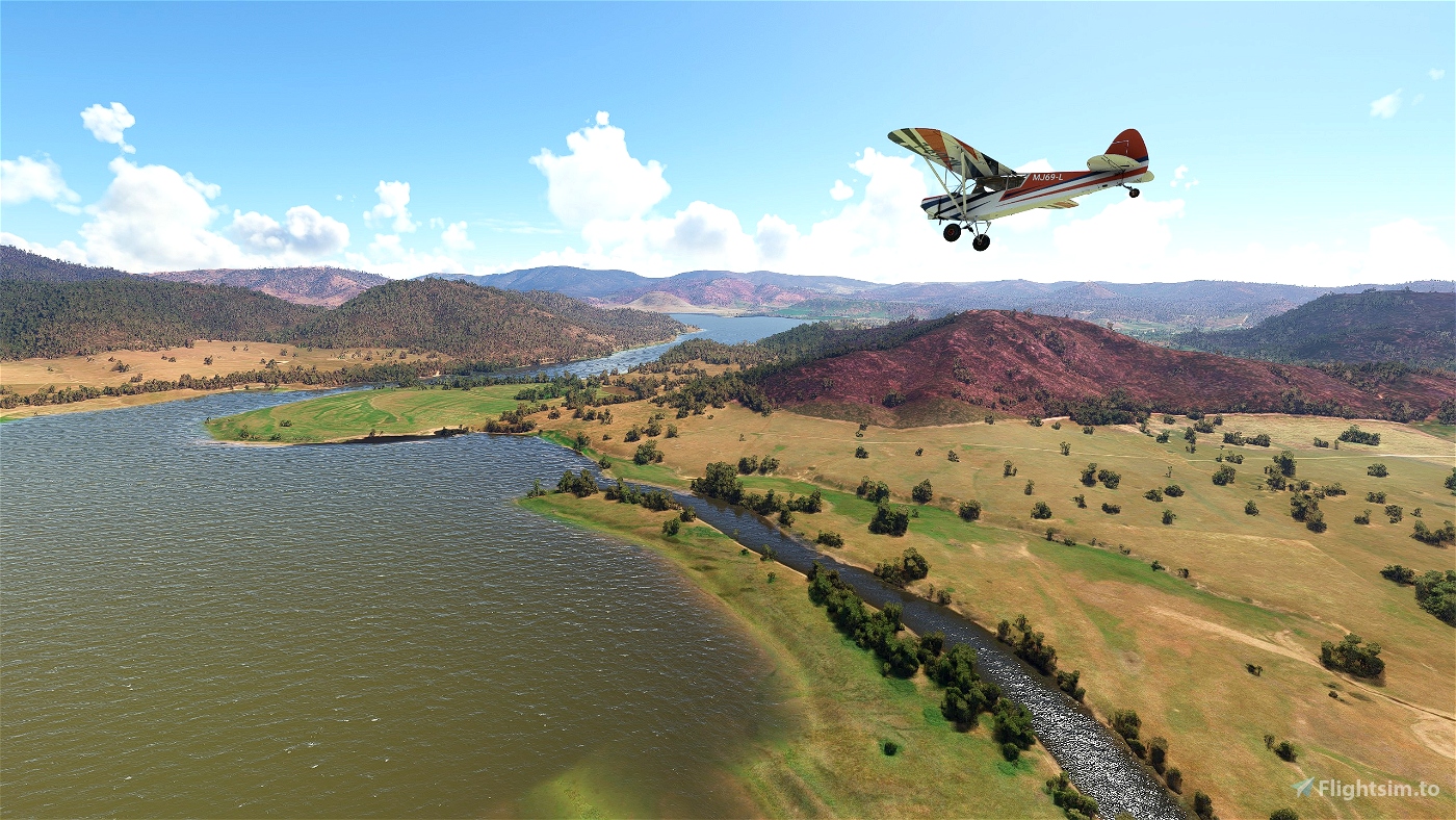
- Passing YMAY Albury & Wodonga, YYWA Yarrawonga, YSWH Swan Hill, YWKI Waikerie and YMBD Murray Bridge
VFR Flight Plan
- 815nm from beginning to end (following track)
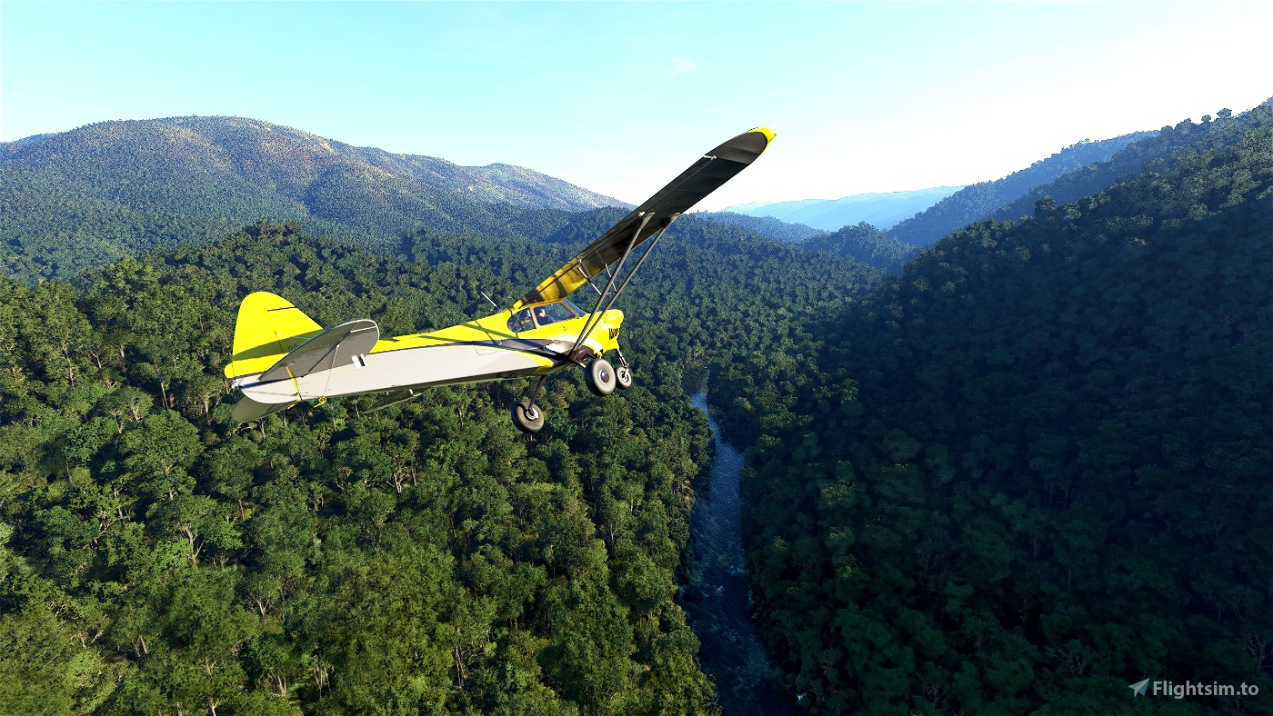
- 7 to 10 hours flight time approx. (Cessna/Cub)
- Starting altitude 5500ft, dropping to 1-3000ft once into the low lands
- Spans 3 Australian States - Victoria, New South Wales and South Australia
- 14 National Parks and Nature Reserves along the river banks
- 4 dams, 16 weirs and locks along it's 'mighty' course
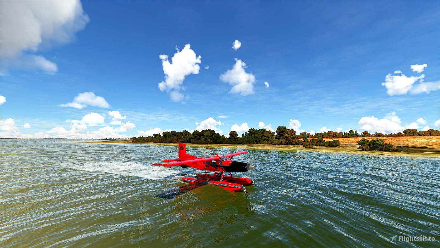
- Multiple stop off points with grass, dirt and hard landing strips
- Waypoints located at key points along the river's journey - explore at your own pace
Look to enhance your experience and exploration with these add-ons
- Murray River Airport Pack - https://flightsim.to/file/50145/victoria-nsw-australia-murray-river-area-6-airports
- YKHA Khancoban Airport - https://flightsim.to/file/5228/ykha-khancoban-airport
- YSWH Swan Hill Landmarks - https://flightsim.to/file/419/yswh-swan-hill-landmark-scenery-objects
- Australia Salt Lakes - https://flightsim.to/file/27376/australian-salt-lakes-fix
- Global AI Shipping - https://flightsim.to/file/9529/global-ai-ship-traffic-msfs-v1
Please check add-on compatibility before installing - and a thank you to all our content creators for their continuing hard work
Installation -
I have included 2 files in the download zip - extract these files to a folder of your choice i.e. 'My Documents'
1) 'The Mighty Murray River MSFS2020.pln' file for directly loading the flight plan into the MSFS2020
Once in the sim go to world map and click the MORE... SAVE/LOAD buttons at the bottom of the screen, then navigate to the folder containing the '.pln' file and click to open
2) 'The Mighty Murray River Little Navmap.InmpIn' file can be opened in the 'Little Navmap' software, for anyone wanting to adjust or add waypoints

 Marcus_Maracus


Very nice trip, thank you.
2 years ago
fStopper