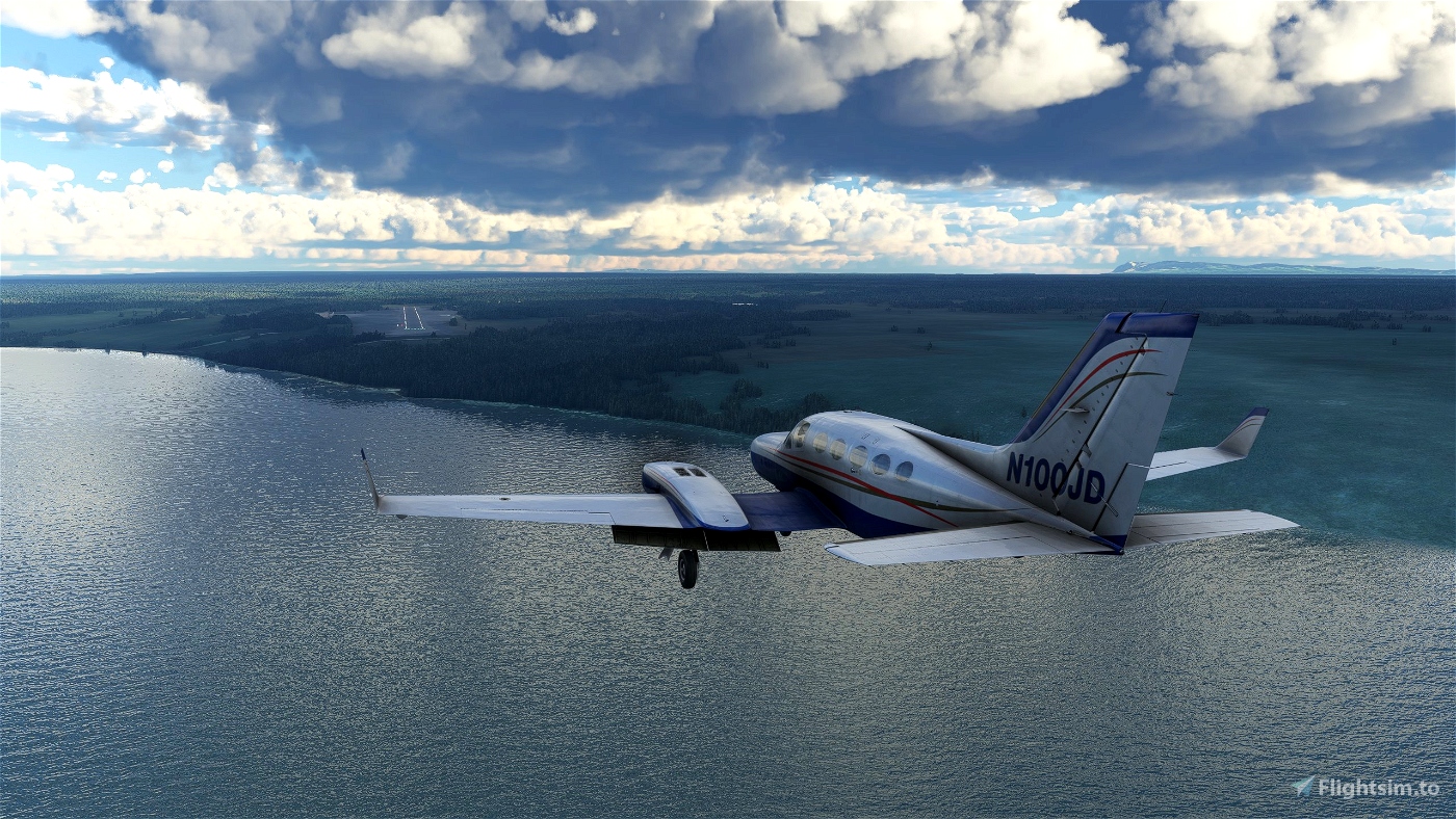
Fort Good Hope Airport (CYGH) is located near the hamlet of Fort Good Hope in the Northwest Territories Province of Canada. The community is very isolated and while it can be reached by ice roads in the winter and boat (via the Mackenzie River) in the summer, the airport provides the only all-season access. Fort Good Hope is the northernmost stop on the weekly Mackenzie valley cargo service provided by Buffalo Airways (and featured in the television reality show "Ice Pilots".) North Wright Airways provides scheduled passenger service.
TODO: Replace MSFS assets with custom models.
V 0.2.1
- Minor fix to extend a light support box in order to exclude an additional runway light that was in the taxi path.
V 0.2
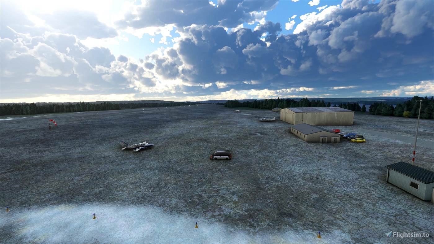
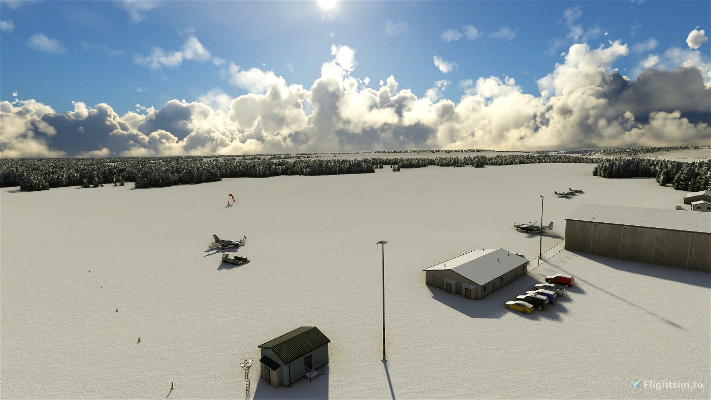
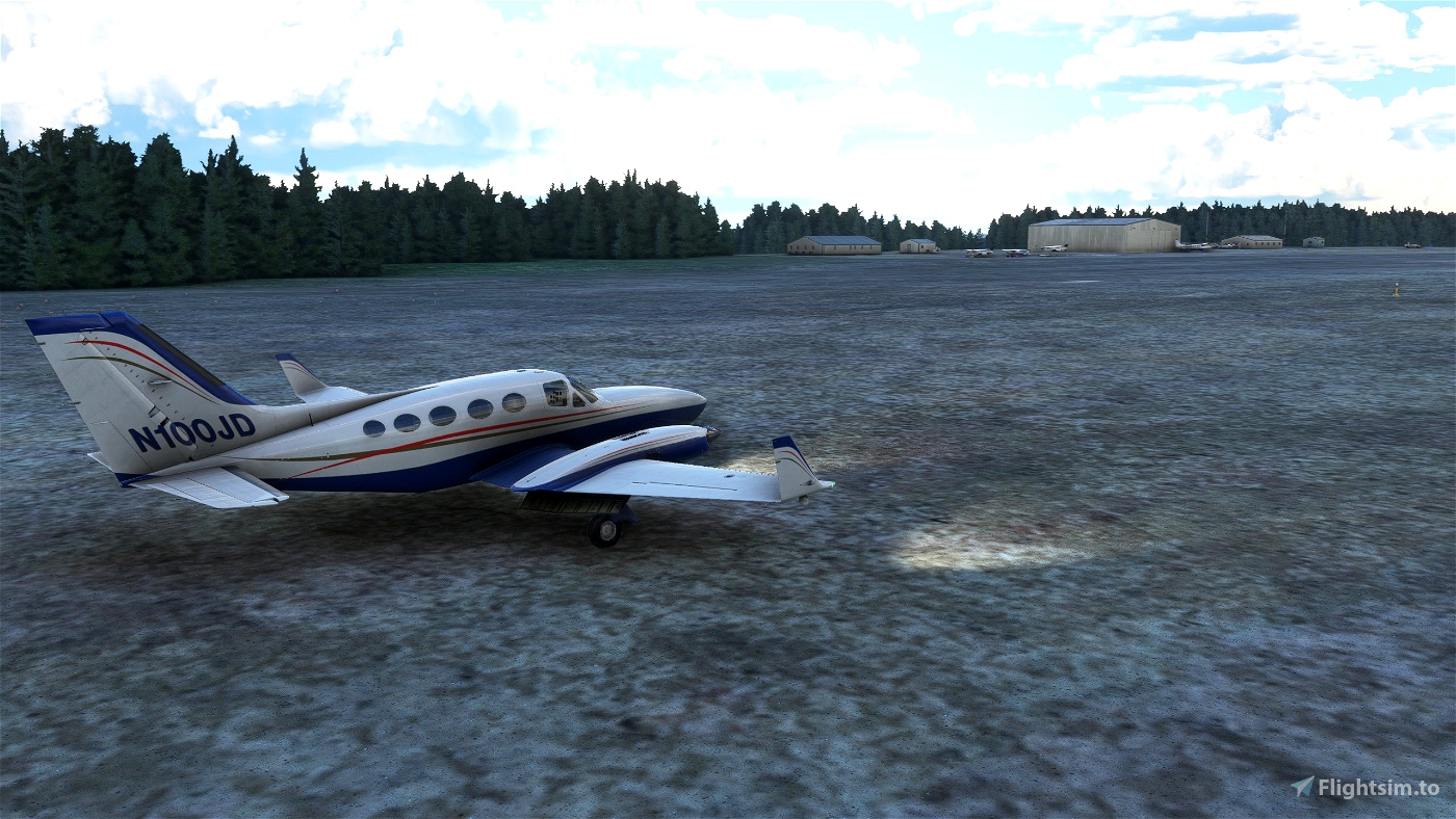
- Added buildings, light posts, and a rotating beacon tower using MSFS assets, but in the correct locations.
- Added taxiways and parking spots
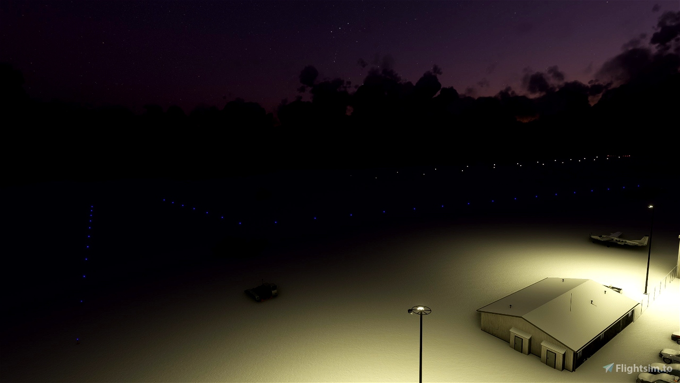
- Added taxiway and apron lighting
- Added fuel box
V 0.1: (Initial submission)
- Updated the ortho tiles for more realistic look.
- Changed the runway surface to gravel, but left it transparent so it is a better match with the satellite imagery.
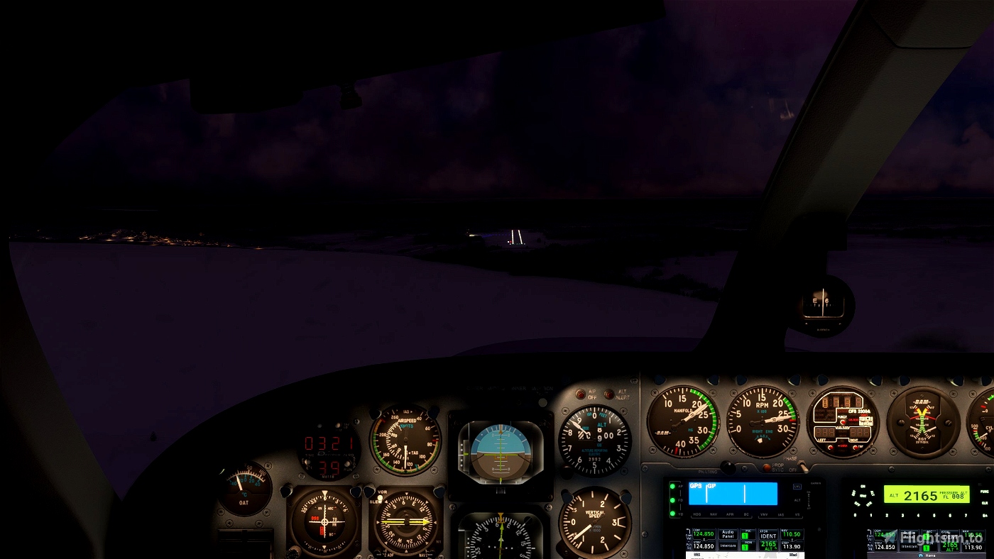
- Added runway lighting and end lights to match the real world airport.
- Added PAPI2 system for both runways. This is as close as I could get to the APAPI system that exists in real life.
- Added the two windsocks according to the current airport map.
Installation:
After unzipping,there will be a single folder. Inside, there will be two folders (one for the airport itself and one for the aerial scenery). Copy both of those folders to the community folder.

I am literally in the middle of a flight from here rn. Cannot wait to try it!
3 years ago
flyinggoosey