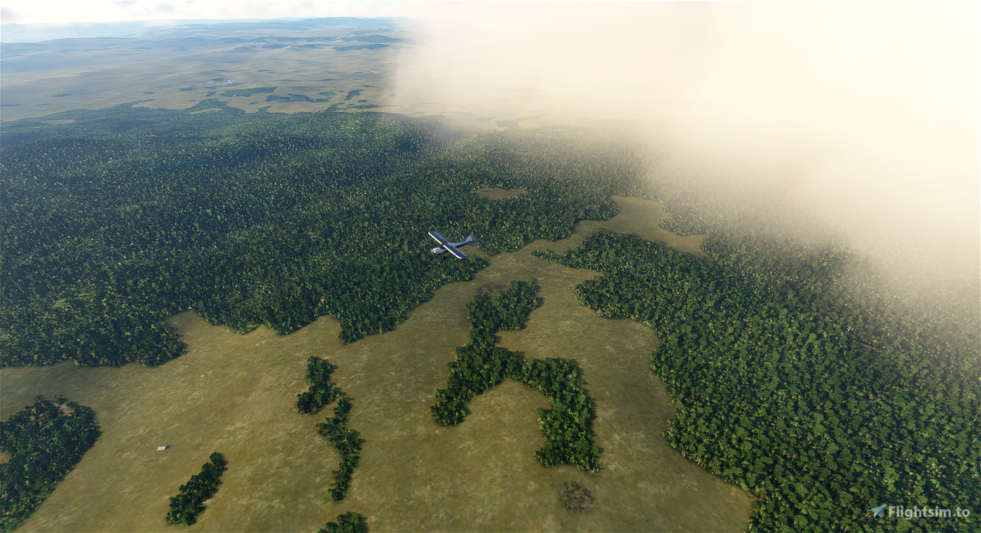
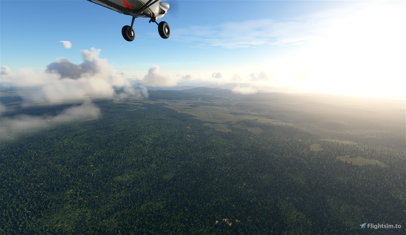
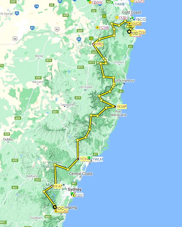
This flight plan takes in 32 national parks in the Australian state of New South Wales. It is 667 nautical miles in length. For your planning purposes, the route took about five hours in the CubCrafter, but I've added a few stops if you want to break it up over a couple of sessions. I added Katoomba Airfield (RIP, Rod Hay) early on for a touch and go, since it's a great little location above the township. Another touch-and-go, near the end, is Nobby Creek (YNOB) (freeware).
We depart from Mittagong (YMIG) (freeware), due east of Wollongong, with an elevation of 1,399 feet. Our arrival airport is Tyagarah (YTYH) (freeware).
To load the route, click "load/save" at the bottom of the World Map and navigate to the relevant folder.
The route:
[Mittangong YMIG]
Nattai
Kanangra-Boyd
[Katoomba Airport, YKAT] - 60-mile mark
Blue Mountains
Wollemi
Yengo
[Cessnock Airport, YCNK]
Mount Royal
Barrington Tops
Woko
Barakee
Mummel Gulf
Cottan-Bimbang
Willi Willi
[Kempsey Airport, YKMP] - around the halfway point, 300-mile mark, last airport for about 200 miles
Carrai
Cunnawarra
Gumbaynggirr
Bellinger River
Dorrigo
Junuy Juluum
Nymboi-Binderay
Guy Fawkes River
Barool
Nymboida
Gibraltar Range
[Tenterfield Airport, YTFD] - 154 miles from destination
Welshpool
Boonoo Boonoo
Richmond Range
Toonumbar
Border Ranges
Lamington
[Nobbys Creek, YNOB] - 44 miles from destination
Wollumbin
Mooball
Nightcap
[Tyagarah Airport, YTYH]

 newtestleper

